Hail Map in Colorado on September 8, 2019
Get this storm
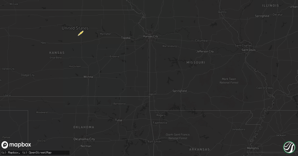
September 8 map
$229
one time, instant access
Download today. No call, no setup
Keep the $229
Bought the map and want the full workflow? Apply the entire $229 to a subscription within 7 days. None of it is wasted.
Every map, not just this one
This buys you this map. Subscription and you get every map we run, in the markets you choose from a few cities to whole states to nationwide. Plus real-time alerts the moment a storm fires.
Contact data
Name, contact info, occupancy, even credit band for addresses in the footprint. You go from where it hit to who to call.
Become the source they trust
Unlimited branding weather history reports on demand. You already have the documented answer ready for the property owner, and you are the one who showed up with it.
Property data and RoofTrace estimates
Pull up any address you have got, its value and the exact code rules for that jurisdiction, straight from One Click Code. Then RoofTrace estimates the squares, pitch, and roof value, priced the way you price.
Storm reports in Colorado
Colorado
| Date | Description |
|---|---|
| 09/08/20196:54 PM CDT | Location is approximate. |
| 09/08/20196:51 PM CDT | Mesonet station rfec2 rifle 2se. |
| 09/08/20196:47 PM CDT | Asos station kril garfield county rgnl ap. |
| 09/08/20196:45 PM CDT | A local report indicates 58 MPH wind near DENVER INTL AIRPORT |
| 09/08/20196:42 PM CDT | Weak tornado that lasted about a minute. No damage. |
| 09/08/20195:34 PM CDT | Mesonet station co098 douglas pass. |
| 09/08/20194:30 PM CDT | A local report indicates 58 MPH wind near 11 NNE KREMMLING |
| 09/08/20193:23 PM CDT | Awos station kege eagle county rgnl airport. |
| 09/08/20192:23 PM CDT | Mesonet station pirc2 pinto... Massadona 18se. |
| 09/08/20191:15 PM CDT | Awos station k4v0 rangely 2e. |
| 09/08/20191:34 AM CDT | At 633 PM MDT, severe thunderstorms were located along a line extending from Kersey to near Deer Trail, or along a line extending from 10 miles east of Greeley to 29 miles northwest of Limon, moving east at 25 mph. HAZARD...60 mph wind gusts and quarter size hail. A brief weak landspout tornado is also possible with these line of storms. SOURCE...Radar indicated. IMPACT...Expect damage to roofs, siding, and trees. Hail damage to vehicles is expected. Locations impacted include... Kersey, Wiggins, Deer Trail, Hoyt, Shamrock, Leader, Weldona, Twelve-Mile Corner, Jackson Reservoir, Orchard, Adena, Prospect Valley, Cottonwood Valley, Riverside Reservoir, Last Chance, Goodrich and Roggen. |
| 09/08/20191:23 AM CDT | At 622 PM MDT, severe thunderstorms were located along a line extending from near Las Animas to 8 miles west of Bristol, moving northeast at 35 mph. HAZARD...60 mph wind gusts and quarter size hail. SOURCE...Radar indicated. IMPACT...Hail damage to vehicles is expected. Expect wind damage to roofs, siding, and trees. Locations impacted include... Lamar, Las Animas, Wiley, Sheridan Lake, McClave, Chivington, Brandon, Towner, Sweetwater Reservoir, Hasty, Neenoshe Reservoir, Neegronda Reservoir, Queens Reservoir, John Martin Reservoir and Fort Lyon. |
| 09/08/20191:11 AM CDT | At 610 PM MDT, a severe thunderstorm was located 18 miles southwest of Hayden, or 20 miles south of Craig, moving northeast at 35 mph. HAZARD...70 mph wind gusts. SOURCE...Radar indicated. IMPACT...Expect considerable tree damage. Damage is likely to mobile homes, roofs, and outbuildings. Locations impacted include... Hayden.This includes Colorado 131 between mile markers 53 and 56. |
| 09/08/20191:05 AM CDT | At 604 PM MDT, severe thunderstorms were located along a line extending from 4 miles northwest of Keenesburg to 8 miles southwest of Byers, or along a line extending from 20 miles southeast of Greeley to 40 miles northwest of Limon, moving northeast at 15 mph. HAZARD...60 mph wind gusts and quarter size hail. Brief weak landspouts are also possible with this line of storms. SOURCE...Radar indicated. IMPACT...Expect damage to roofs, siding, and trees. Hail damage to vehicles is expected. Locations impacted include... Lochbuie, Hudson, Bennett, Keenesburg, Byers, Manila Village, Prospect Valley, Strasburg and Roggen. |
| 09/08/201912:58 AM CDT | At 557 PM MDT, a severe thunderstorm was located over New Castle, or 13 miles west of Glenwood Springs, moving northeast at 35 mph. HAZARD...70 mph wind gusts and penny size hail. SOURCE...A 76 mph wind gust was recorded at Rifle Airport. IMPACT...Expect considerable tree damage. Damage is likely to mobile homes, roofs, and outbuildings. Locations impacted include... New Castle.This includes Interstate 70 in Colorado between mile markers 101 and110. |
| 09/08/201912:32 AM CDT | At 531 PM MDT, severe thunderstorms were located along a line extending from 13 miles northeast of Parachute to near Rifle to 10 miles southwest of Silt, moving northeast at 35 mph. HAZARD...60 mph wind gusts. SOURCE...Radar indicated. IMPACT...Expect damage to roofs, siding, and trees. Locations impacted include... Rifle, New Castle and Silt. This includes the following highways... Interstate 70 in Colorado between mile markers 85 and 106. Colorado 13 between mile markers 1 and 13. |
| 09/07/201911:03 PM CDT | At 403 PM MDT, a severe thunderstorm was located near Rangely, or 43 miles southeast of Vernal, moving east at 35 mph. HAZARD...60 mph wind gusts and quarter size hail. SOURCE...Radar indicated. IMPACT...Hail damage to vehicles is expected. Expect wind damage to roofs, siding, and trees. Locations impacted include... Rangely and Massadona. This includes the following highways... Colorado 64 between mile markers 11 and 35. Colorado 139 between mile markers 66 and 72. |
| 09/07/201910:18 PM CDT | At 318 PM MDT, a severe thunderstorm was located near Radium, or 53 miles northeast of Glenwood Springs, moving northeast at 40 mph. HAZARD...60 mph wind gusts. SOURCE...Radar indicated. IMPACT...Expect damage to roofs, siding, and trees. Locations impacted include... Granby, Kremmling, Hot Sulphur Springs, Parshall, Hot Sulphur Spring, Williams Fork Reservoir and Radium. |
| 09/07/20199:33 PM CDT | At 232 PM MDT, severe thunderstorms were located along a line extending from 15 miles north of Gypsum to 6 miles east of Eagle to 13 miles southwest of Avon, moving east at 35 mph. HAZARD...60 mph wind gusts. SOURCE...61 mph wind gust observed at Eagle Airport. IMPACT...Expect damage to roofs, siding, and trees. Locations impacted include... Eagle, Avon, Vail, Minturn, Redcliff, Edwards, Red Cliff, Mc Coy, Wolcott, Gilman, Eagle-Vail, Dowd, Burns, Bond and State Bridge.This includes the following highways... Interstate 70 in Colorado between mile markers 147 and 189. Colorado 131 between mile markers 1 and 28. |
| 09/07/20197:11 PM CDT | A local report indicates 68 MPH wind near 4 S KEENESBURG |
| 09/07/20197:00 PM CDT | 5 inch tree limbs broke off the trees. Spotter estimates wind speeds were around 60 mph. |
All States Impacted by Hail Map on September 8, 2019
Cities Impacted by Hail Map on September 8, 2019
- Indianola, MS
- Inverness, MS
- Lamar, CO
- Burlington, CO
- Kanorado, KS
- Goodland, KS
- Prole, IA
- Winterset, IA
- Patterson, IA
- McClave, CO
- Wiley, CO
- Lindon, CO
- Anton, CO
- Akron, CO
- Ames, IA
- Arapahoe, CO
- Cumming, IA
- Delphos, KS
- Minneapolis, KS
- Miltonvale, KS
- Cheyenne Wells, CO
- Tarboro, NC
- Hugo, CO
- Bennett, CO
- Keenesburg, CO
- Isola, MS
- Orchard, CO
- Merino, CO
- Van Meter, IA
- Martensdale, IA
- Saint Charles, IA
- Norwalk, IA
- Strasburg, CO
- Salt Lake City, UT
- Denver, CO
- Aurora, CO


