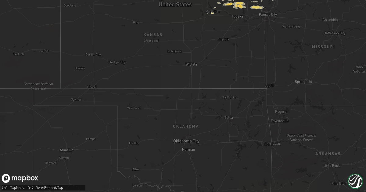
Hail Map on September 3, 2012
Get this storm
September 3 map
$229
one time, instant access
Download today. No call, no setup
Keep the $229
Bought the map and want the full workflow? Apply the entire $229 to a subscription within 7 days. None of it is wasted.
Every map, not just this one
This buys you this map. Subscription and you get every map we run, in the markets you choose from a few cities to whole states to nationwide. Plus real-time alerts the moment a storm fires.
Contact data
Name, contact info, occupancy, even credit band for addresses in the footprint. You go from where it hit to who to call.
Become the source they trust
Unlimited branding weather history reports on demand. You already have the documented answer ready for the property owner, and you are the one who showed up with it.
Property data and RoofTrace estimates
Pull up any address you have got, its value and the exact code rules for that jurisdiction, straight from One Click Code. Then RoofTrace estimates the squares, pitch, and roof value, priced the way you price.
States Impacted by Hail Map on September 3, 2012
Storm reports
Missouri
| Date | Description |
|---|---|
| 09/02/201211:05 PM CDT | 4-5 inch tree limbs down. Relayed from kctv5. |
| 09/02/201210:50 PM CDT | Trees down partially blocking the roadway on hwy 45 between i435 east to nationals golf course |
| 09/02/201210:37 PM CDT | A local report indicates 60 MPH wind near KCI AIRPORT |
South Dakota
| Date | Description |
|---|---|
| 09/03/20126:15 PM CDT | Nickel to quarter sized hail and storng winds. Several 4 inch diameter branches down. Leaves stripped from crops. |
| 09/03/20126:15 PM CDT | Significant hail damage to corn and bean crops. |
| 09/03/20126:10 PM CDT | Half dollar sized hail and strong winds. Moderate hail damage to crops. |
| 09/03/20126:03 PM CDT | Up to 1 inch hail 5 west of sunshine bible academy |
| 09/03/20125:34 PM CDT | Some quarters with mostly nickel and dimes. |
| 09/03/20124:48 PM CDT | A few quarter size stones a lot of smaller ones. |
| 09/02/20128:12 PM CDT | A local report indicates 1.50 inch wind near 12 SSW LANE |
| 09/02/20127:20 PM CDT | A local report indicates 1.00 inch wind near WESSINGTON SPRINGS |
Colorado
| Date | Description |
|---|---|
| 09/03/20126:11 PM CDT | A local report indicates 68 MPH wind near 3 NW LONGMONT |
| 09/03/20126:05 PM CDT | A local report indicates 60 MPH wind near 2 N LONGMONT |
South Carolina
| Date | Description |
|---|---|
| 09/03/20124:45 PM CDT | One tree down on south moore road near hillside church road. |
| 09/03/20124:15 PM CDT | Treens down on sc hwy 557 near kingsburry road. |
| 09/03/20124:15 PM CDT | Trees down on hwy 49 near scrub pine ln. |
Alabama
| Date | Description |
|---|---|
| 09/03/20125:00 PM CDT | Corrected for updated info...numerous trees and powerlines down in downtown selma. At least 5 structures have some type of roof damage. One entrapment reported but no i |
| 09/03/20124:04 PM CDT | Several trees down at the intersection of hwy 5 and cr 16 north of marion |
| 09/03/20123:15 PM CDT | Tree down on mixon school road at sherrill lane. |
| 09/03/20123:13 PM CDT | At least 5 trees down south of moundville on highway 69. |
| 09/02/20129:50 PM CDT | A local report indicates 1.00 inch wind near REFORM |
| 09/02/20129:50 PM CDT | Trees down along hwy 82 in downtown reform. One structure damaged in the same area...extent of damage unknown at this time. Also report of small aircraft overturned ins |
| 09/02/20129:14 PM CDT | 5 trees down on highway 7 between knoxville and eutaw. |
| 09/02/20129:14 PM CDT | Tree down blocking alabama highway 7 northeast of eutaw |
| 09/02/20129:12 PM CDT | Trees down along cr 3 |
| 09/02/20129:10 PM CDT | Trees down on state road 17 north of reform. |
| 09/02/20127:20 PM CDT | Approximately a half dozen trees down near the intersection of hwy 60 and hwy 14. Time estimated from radar. |
Michigan
| Date | Description |
|---|---|
| 09/03/20122:48 PM CDT | Several trees down around the area. The largest tree was estimated to be around 40 inches in diameter. Time estimated from radar. |
| 09/03/20122:42 PM CDT | Trailer weighing 300+ pounds was moved 100 ft by strong winds. 36 inch diameter trees were snapped. Several outbuildings were damaged. Power was taken out. Also reporte |
| 09/03/20122:41 PM CDT | Spruce tree downed that was 20 to 30 foot tall and 8 inches in diameter. Heavy wooden picnic table tossed around the yard. Lawn chairs broken. Numerous other trees down |
| 09/03/20122:15 PM CDT | 8 inch and 10 inch diamter tree down at a hotel. Tree of unknown size down on m-28. Power out in the area. Hail hitting truck...but size unknown due to poor visibility. |
| 09/03/20122:06 PM CDT | Several trees down. Estimated to be 5 to 6 inches in diameter. Time estimated from radar. |
Kansas
| Date | Description |
|---|---|
| 09/03/20126:38 PM CDT | Delayed report from the public of the morton steel building damaged along with lines and signs down near the railroad crossing and 26th avenue. |
| 09/02/201211:00 PM CDT | 24 inch diameter tree along with several smaller trees down at 10th and chestnut. Tree fell on vehicle at 726 ottawa |
| 09/02/201211:00 PM CDT | Measured at the leavenworth courthouse. |
| 09/02/201210:36 PM CDT | 12 inch limb reported blown down from live tree. |
| 09/02/20129:57 PM CDT | Large gas grill was blown 20 feet into side of truck. Truck door and siding were damaged. The grill was then blown into the nearby field. Delayed report. |
| 09/02/20128:00 PM CDT | A local report indicates 1.00 inch wind near 4 S MANHATTAN |
Nebraska
| Date | Description |
|---|---|
| 09/03/20125:15 PM CDT | A local report indicates 1.00 inch wind near 17 S NEWPORT |
| 09/03/20125:15 PM CDT | A few tree limbs down...size unknown. |
Arkansas
| Date | Description |
|---|---|
| 09/03/20126:16 PM CDT | Trained spotter reported large limbs were down at his house in damascus. One limb fell on his house and caused minor damage. |
Delaware
| Date | Description |
|---|---|
| 09/03/20122:23 PM CDT | *** 1 inj *** four houses with roof damage and a garage door blown in. Multiple reports of funnel cloud. Time estimated. 1 reported injury... Taken to hospital...status |
Georgia
| Date | Description |
|---|---|
| 09/03/20124:30 PM CDT | A few trees and limbs down across eastern calhoun county. |
| 09/03/20124:30 PM CDT | Tree down across road near the baker county line. |
| 09/03/20124:10 PM CDT | A few trees and limbs down across eastern calhoun county. |
Minnesota
| Date | Description |
|---|---|
| 09/03/20125:57 AM CDT | Also estimated wind gusts of 50 to 60 mph. Hail stones dented vehicle. |
| 09/03/20125:57 AM CDT | A local report indicates 60 MPH wind near 4 NNE MABEL |
Mississippi
| Date | Description |
|---|---|
| 09/03/201212:45 AM CDT | A couple trees were down along hwy 14 e. |
| 09/03/201212:40 AM CDT | Several trees down and tin roofing blown off a house on harold ming road. Time estimated from radar. |
| 09/02/201211:20 PM CDT | A mobile home was damaged along buggs ferry road...a shed was blown down...and a telephone line was downed. |
North Carolina
| Date | Description |
|---|---|
| 09/03/20125:26 PM CDT | 911 center received report of 2 trees down blocking both lanes at sam lee rd and geneva algright rd |
| 09/03/20125:00 PM CDT | One tree down near intersection of tony holder road and ivy greey trail. |
| 09/03/20124:35 PM CDT | Multiple power lines down on peach orchard road near alberta ave. |
| 09/03/20124:30 PM CDT | One tree down on us route 21 near the intersection of thurmond road |
| 09/03/20124:26 PM CDT | One tree down on old us route 21 near the state road volunteer fire department |
| 09/03/20124:15 PM CDT | Trees down on hwy 49 near scrub pine ln. |
| 09/03/20124:00 PM CDT | Multiple trees and power lines down on hwy 901 near i-77. |
| 09/03/20123:21 PM CDT | 911 center received report of 2 trees down blocking both lanes at sam lee rd and geneva algright rd |
| 09/03/20122:25 PM CDT | One tree blown down on coxe road. |
| 09/03/20122:25 PM CDT | One tree down on phillips road. |
Cities Impacted by Hail Map on September 3, 2012
- Eutaw, AL
- Aliceville, AL
- Boligee, AL
- Reform, AL
- Gordo, AL
- Miller, SD
- West Point, NE
- Marion, AL
- Rock, MI
- Akron, AL
- Moundville, AL
- Epes, AL
- Emelle, AL
- Chaseley, ND
- Knoxville, AL
- Mayetta, KS
- Washburn, ND
- Savannah, GA
- Salem, SD
- Montrose, SD
- Louisville, MS
- Macon, MS
- Terril, IA
- Graettinger, IA
- Estherville, IA
- Vulcan, MI
- Goff, KS
- Wetmore, KS
- Gladstone, MI
- Rapid River, MI
- Sawyerville, AL
- Holabird, SD
- Blunt, SD
- Harrold, SD
- Pierre, SD
- Florence, WI
- Argonne, WI
- Fence, WI
- Long Lake, WI
- Plankinton, SD
- Foster City, MI
- Little Lake, MI
- Wallingford, IA
- Platte City, MO
- Leavenworth, KS
- Easton, KS
- Saint Lawrence, SD
- Ree Heights, SD
- Highmore, SD
- Wessington, SD
- Holton, KS
- Circleville, KS
- Cornell, MI
- Loretto, MI
- McColl, SC
- Bennettsville, SC
- Mount Vernon, SD
- Mitchell, SD
- Plantersville, AL
- Perkins, MI
- Emmett, KS
- Soldier, KS
- Delia, KS
- Woonsocket, SD
- Wessington Springs, SD
- Letcher, SD
- Roscoe, SD
- Denton, KS
- Bendena, KS
- Troy, KS
- Robinson, KS
- Cylinder, IA
- Whittemore, IA
- Hurdsfield, ND
- Harvey, ND
- Atchison, KS
- Ringsted, IA
- Saint David, AZ
- Wells, MI
- Escanaba, MI
- Hermansville, MI
- Camden Point, MO
- Dearborn, MO
- Oakland, NE
- Soldiers Grove, WI
- Rushville, MO
- De Kalb, MO
- Hardeeville, SC
- Spring Grove, MN
- Mabel, MN
- Lanesboro, MN
- Houston, MN
- Peterson, MN
- Lathrop, MO
- Woodbine, IA
- Havensville, KS
- Midway, AL
- Blair, NE
- Tekamah, NE
- Herman, NE
- Saint Joseph, MO
- Hoyt, KS
- Meriden, KS
- Valley Falls, KS
- Denison, KS
- Fort Leavenworth, KS
- McLouth, KS
- Kansas City, MO
- Winchester, KS
- Waldron, MO
- Lansing, KS
- Farley, MO
- Westmoreland, KS
- Onaga, KS
- Flagstaff, AZ
- Goodhue, MN
- Lake City, MN
- Greensboro, AL
- De Soto, WI
- Gower, MO
- Red Wing, MN
- Wetmore, MI
- Shingleton, MI
- Munising, MI
- Leary, GA
- Fort Stockton, TX
- White Lake, SD
- Manhattan, KS
- Beemer, NE
- Shuqualak, MS
- Athelstane, WI
- Independence, WI
- Mondovi, WI
- Spencer, SD
- Bassett, NE
- Long Pine, NE
- Saint George, KS
- Highland, KS
- Brooksville, MS
- Alpena, SD
- Stuart, NE
- Atkinson, NE
- Kimball, SD
- Ashley, ND
- Felch, MI
- Valley City, ND
- Wabeno, WI
- Laona, WI
- Craig, NE
- Champion, MI
- Ishpeming, MI
- Millport, AL
- Marion Junction, AL
- Uniontown, AL
- Newbern, AL
- Whiting, KS
- Canton, MN
- Little Sioux, IA
- Pisgah, IA
- Mondamin, IA
- Milford, IA
- Spirit Lake, IA
- Union Springs, AL
- New York Mills, MN
- Wilson, MI
- Carney, MI
- Powers, MI
- Corning, KS
- Claxton, GA
- Fredonia, ND
- Pembroke, GA
- Carrollton, AL
- Tuttle, ND
- Crandon, WI
- Bark River, MI
- Garden, MI
- Sebeka, MN
- Caledonia, MN
- Humboldt, SD
- Strasburg, ND
- Pembine, WI
- Denhoff, ND
- Engadine, MI
- Gould City, MI
- Curtis, MI
- Naubinway, MI
- Lakewood, WI
- Durand, WI
- Goodrich, ND
- Virgil, SD
- Oskaloosa, KS
- Nortonville, KS
- Ozawkie, KS
- Hague, ND
- Crawford, MS
- Albemarle, NC
- Pelican Lake, WI
- Ferryville, WI
- Gays Mills, WI
- Lancaster, KS
- Everest, KS
- Weston, MO
- Townley, AL
- Edgerton, MO
- Ralph, AL
- Fosters, AL
- Ethelsville, AL
- Hillsboro, WI
- Arlington, GA
- Ellendale, ND
- Bremen, AL
- Hayden, AL
- Nadeau, MI
- Niagara, WI
- Dorchester, IA
- Decorah, IA
- Starkville, MS
- Nahma, MI
- Sardis, AL
- Minter, AL
- Whitehall, WI
- Viroqua, WI
- Plattsburg, MO
- Holt, MO
- Pickerel, WI
- Selma, AL
- Buhl, AL
- Echola, AL
- Elrod, AL