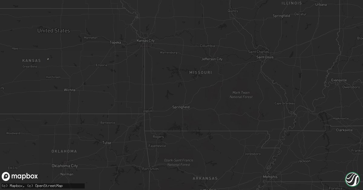
Hail Map in North Carolina on August 29, 2011
Get this storm
August 29 map
$229
one time, instant access
Download today. No call, no setup
Keep the $229
Bought the map and want the full workflow? Apply the entire $229 to a subscription within 7 days. None of it is wasted.
Every map, not just this one
This buys you this map. Subscription and you get every map we run, in the markets you choose from a few cities to whole states to nationwide. Plus real-time alerts the moment a storm fires.
Contact data
Name, contact info, occupancy, even credit band for addresses in the footprint. You go from where it hit to who to call.
Become the source they trust
Unlimited branding weather history reports on demand. You already have the documented answer ready for the property owner, and you are the one who showed up with it.
Property data and RoofTrace estimates
Pull up any address you have got, its value and the exact code rules for that jurisdiction, straight from One Click Code. Then RoofTrace estimates the squares, pitch, and roof value, priced the way you price.
Storm reports in North Carolina
North Carolina
| Date | Description |
|---|---|
| 08/29/20116:43 PM CDT | Golf size hail near hwy 33 and hwy 264 |
| 08/29/20116:20 PM CDT | Tree down on powerline at creedmore and lynn |
| 08/29/20116:20 PM CDT | Tree down on powerline at new hope and buffalo rd. |
| 08/29/20116:10 PM CDT | Tree down on powerline at creedmore and lynn |
| 08/29/20116:05 PM CDT | Thunderstorm wind caused damage to house in the sharp point community |
| 08/29/20115:52 PM CDT | Trees down |
| 08/29/20115:43 PM CDT | A local report indicates 1.00 inch wind near 3 NW MACCLESFIELD |
| 08/29/20115:43 PM CDT | Quarter size hail measured at intersection of hwy 43 and jenkins farm road |
| 08/29/20115:41 PM CDT | Powerlines down at pea ridge rd and woodhaven dr. |
| 08/29/20115:40 PM CDT | Tree and power lines down at pea ridge rd and cape fear dr. |
| 08/29/20115:35 PM CDT | A local report indicates 1.75 inch wind near 3 SW KINGSBORO |
| 08/29/20115:35 PM CDT | A local report indicates 1.25 inch wind near 2 WSW ROCKY MOUNT |
| 08/29/20115:18 PM CDT | Tree on a car on moncure pittsboro rd. |
| 08/29/20115:13 PM CDT | A local report indicates 1.00 inch wind near 3 SSW DORTCHES |
| 08/29/20115:10 PM CDT | Tree down at the 1500 block of us 64 west. |
| 08/29/20114:30 PM CDT | Tree down |
| 08/29/20114:30 PM CDT | One tree down across culbreth road near berea |
| 08/29/20114:26 PM CDT | Multiple trees down |
| 08/29/20114:15 PM CDT | Two trees blown down that blocked turner road |
| 08/29/20114:15 PM CDT | Multiple trees down |
| 08/29/20114:15 PM CDT | Tree down on house |
| 08/29/20114:10 PM CDT | Quarter size hail at forence and todd streets |
| 08/29/20114:00 PM CDT | Trained spotter reports quarter to half-dollar size hail |
| 08/29/20113:58 PM CDT | Tree down on town creek indian mound rd. |
| 08/29/20113:50 PM CDT | Half dollar size hail measured at north ridge drive |
| 08/29/20113:48 PM CDT | Reported on durant rd |
| 08/29/20113:48 PM CDT | One tree down near the intersection of gus mcghee road and pearces road |
| 08/29/20113:46 PM CDT | Trees down |
| 08/29/20113:45 PM CDT | Nickel to quarter size hail reported and resulted in damage to landscape plants. |
| 08/29/20113:35 PM CDT | A local report indicates 1.25 inch wind near 6 WSW FALLS LAKE |
| 08/29/20113:35 PM CDT | Couple of trees down on highway 109 near grassy island road |
| 08/29/20113:35 PM CDT | 1 inch hail measured at six forks road and lead mine road |
| 08/29/20113:33 PM CDT | Dime to quarter size hail for several minutes. 68 |
| 08/29/20113:33 PM CDT | Powerlines down along jack currie rd between grassy island rd and hwy 109. |
| 08/29/20113:32 PM CDT | 1 inch hail measured at six forks road and strickland road |
| 08/29/20113:26 PM CDT | 1 inch hail at ray road |
| 08/28/201110:05 PM CDT | Tree down on mercer mill road. |
| 08/28/20118:50 PM CDT | Tree down on hwy 72. |
| 08/28/20118:38 PM CDT | One tree down and several large tree limbs down on green street and raiston street. |
| 08/28/20118:20 PM CDT | Tree down at the intersection of west david and parnell street. |
| 08/28/20118:15 PM CDT | One tree blown down near vander on judson church road. |
| 08/28/20118:02 PM CDT | One tree down near the intersection of st. Pauls road and pate road |
| 08/28/20118:00 PM CDT | One tree down on camden road near the county line |
| 08/28/20118:00 PM CDT | One tree down near intersection of black bridge road and home stretch drive |
All States Impacted by Hail Map on August 29, 2011
Cities Impacted by Hail Map on August 29, 2011
- Sedgwick, CO
- Ovid, CO
- Julesburg, CO
- Crook, CO
- Lodgepole, NE
- Chappell, NE
- Sidney, NE
- Lame Deer, MT
- Cordesville, SC
- Huger, SC
- Richlands, NC
- Kittrell, NC
- Cheyenne Wells, CO
- Deer Trail, CO
- Springer, NM
- Arriba, CO
- Summerville, SC
- Stem, NC
- Oxford, NC
- Gillette, WY
- Parkton, NC
- Laurinburg, NC
- Laurel Hill, NC
- Deland, FL
- Kershaw, SC
- Lumberton, NC
- Lugoff, SC
- Rembert, SC
- Fort Morgan, CO
- Lovell, WY
- Cofield, NC
- Harrellsville, NC
- Ahoskie, NC
- Potter, NE
- Bayard, NE
- Nashville, NC
- Broadview, MT
- Roundup, MT
- Genoa, CO
- Aiken, SC
- Harrison, NE
- Aguilar, CO
- Custer, MT
- Musselshell, MT
- Melville, MT
- Big Timber, MT
- Red Springs, NC
- Saint Pauls, NC
- Shannon, NC
- Bingham, NE
- Hay Springs, NE
- Rushville, NE
- Arapahoe, CO
- Brusett, MT
- Kinston, NC
- Manning, SC
- Greeleyville, SC
- Mount Gilead, NC
- Pinetops, NC
- Macclesfield, NC
- Upton, WY
- Chester, SC
- Saint Matthews, SC
- Raeford, NC
- Lumber Bridge, NC
- Wilson, NC
- Bridger, MT
- Georgetown, SC
- Burns, WY
- Fort McCoy, FL
- Raleigh, NC
- Wake Forest, NC
- Rolesville, NC
- Pamplico, SC
- Johnsonville, SC
- Fayetteville, NC
- Edgemont, SD
- Otter, MT
- Decker, MT
- Rapelje, MT
- Clearmont, WY
- Arvada, WY
- Neeses, SC
- Trinidad, CO
- Greenville, NC
- Fishtail, MT
- Avon, NC
- Waverly, VA
- Cameron, SC
- Camden, SC
- Jamestown, SC
- Louisburg, NC
- Cope, SC
- Franklinton, NC
- Youngsville, NC
- Reed Point, MT
- Rocky Mount, NC
- Tarboro, NC
- Fountain, NC
- Washington, NC
- Bridgeport, NE
- Sharon Springs, KS
- Tribune, KS
- Bamberg, SC
- Norway, SC
- Model, CO
- Zebulon, NC
- Spring Hope, NC
- Pittsboro, NC
- Moncure, NC
- Roberts, MT
- Snyder, CO
- Merino, CO
- Blounts Creek, NC
- Woodrow, CO
- Buffalo, WY
- Trenton, NC
- Dover, NC
- Nesmith, SC
- Lake City, SC
- Hemingway, SC
- Palm Coast, FL
- Chadron, NE
- Deep Run, NC
- Whitney, NE
- Lodge Grass, MT
- Crawford, NE
- Edgar, NE
- Sutton, NE
- Rougemont, NC
- Lance Creek, WY
- Walsenburg, CO
- New Hill, NC
- Brooksville, FL
- Spring Hill, FL
- Birney, MT
- Huntley, MT
- Gresham, SC
- Vona, CO
- Morrisville, NC
- Goose Creek, SC
- Lindon, CO
- Cheyenne, WY
- Weston, CO
- Blackstock, SC
- Richburg, SC
- Wagram, NC
- Maxton, NC
- Trinchera, CO
- Salley, SC
- Wagener, SC
- Louisville, NE
- Murdock, NE
- Stokes, NC
- Springfield, SC
- North, SC
- Swansea, SC
- Dalton, NE
- Haw River, NC
- Graham, NC
- Burlington, NC
- Gibson, NC
- Leoti, KS
- Wendell, NC
- Bahama, NC
- Eure, NC
- Red Lodge, MT
- Branson, CO
- Bunn, NC
- Chocowinity, NC
- Elm City, NC
- Blue Hill, NE
- Holly Ridge, NC
- Battleboro, NC
- Lutz, FL
- Tampa, FL
- Questa, NM
- Bennettsville, SC
- Geneseo, KS
- Gordon, NE
- Odessa, FL
- Carson, VA
- Stony Creek, VA
- Monroe, NC
- Wingate, NC
- Middlesex, NC
- Knightdale, NC
- Bailey, NC
- Durham, NC
- Cary, NC
- Bethel, NC
- Farmville, NC
- Mebane, NC
- Sumter, SC
- Hope Mills, NC
- Rowesville, SC
- Dix, NE
- Ray, ND
- Bunnell, FL
- Windsor, SC
- Glenvil, NE
- Clermont, FL
- Winter Garden, FL
- Four Oaks, NC
- Sheridan, WY
- Fromberg, MT
- McColl, SC
- Great Falls, SC
- Fort Lawn, SC
- Melbourne, FL
- Kathleen, FL
- Lakeland, FL
- Robersonville, NC
- Oldsmar, FL
- Safety Harbor, FL
- Warrenville, SC
- Bladenboro, NC
- Tar Heel, NC
- Pink Hill, NC
- Orangeburg, SC
- Shepherd, MT
- Lucama, NC
- Burlington, CO
- Satsuma, FL
- Absarokee, MT
- Bishopville, SC
- Engelhard, NC
- Fairfield, NC
- Rye, CO
- Bozeman, MT
- Creedmoor, NC
- Butner, NC
- Worden, MT
- Hobbsville, NC
- Winton, NC
- Beulah, CO
- Eustis, FL
- Stratton, CO
- Carrabelle, FL


