Hail Map in Florida on August 28, 2012
Get this storm
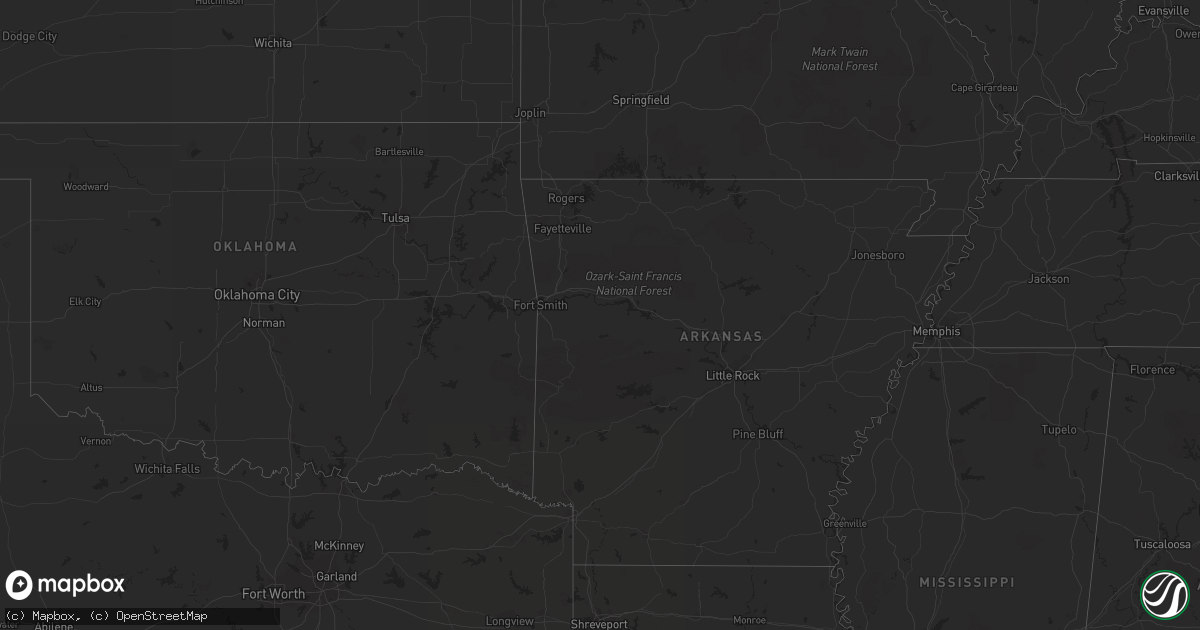
August 28 map
$229
one time, instant access
Download today. No call, no setup
Keep the $229
Bought the map and want the full workflow? Apply the entire $229 to a subscription within 7 days. None of it is wasted.
Every map, not just this one
This buys you this map. Subscription and you get every map we run, in the markets you choose from a few cities to whole states to nationwide. Plus real-time alerts the moment a storm fires.
Contact data
Name, contact info, occupancy, even credit band for addresses in the footprint. You go from where it hit to who to call.
Become the source they trust
Unlimited branding weather history reports on demand. You already have the documented answer ready for the property owner, and you are the one who showed up with it.
Property data and RoofTrace estimates
Pull up any address you have got, its value and the exact code rules for that jurisdiction, straight from One Click Code. Then RoofTrace estimates the squares, pitch, and roof value, priced the way you price.
Storm reports in Florida
Florida
| Date | Description |
|---|---|
| 08/28/20124:00 PM CDT | 911 call center reported a couple of trees down in the mandarin area of town in addition to a few on the westside of jacksonville metro area. |
| 08/28/20123:15 PM CDT | 911 call center reported power lines down on church road northwest of st augustine. |
| 08/28/20123:10 PM CDT | 911 call center reported power lines down on butler avenue west of st augustine. |
| 08/28/20122:40 PM CDT | Putnam county 911 dispatch reports a large tree blown down by strong thunderstorm wind gusts across the intersection of state road 20 and victoria road between interlac |
All States Impacted by Hail Map on August 28, 2012
Cities Impacted by Hail Map on August 28, 2012
- Talmage, UT
- Mountain Home, UT
- Alma, GA
- Miltona, MN
- Eagle Bend, MN
- Carlos, MN
- Wakefield, VA
- Ivor, VA
- Lake Benton, MN
- Arlington, SD
- Brooklet, GA
- Smithfield, VA
- Windsor, VA
- Rincon, GA
- Guyton, GA
- Springfield, GA
- Bruce, SD
- Baxley, GA
- Homestead, FL
- Islamorada, FL
- Big Pine Key, FL
- Key Colony Beach, FL
- Key West, FL
- Key Largo, FL
- Tavernier, FL
- Summerland Key, FL
- Marathon, FL
- Long Key, FL
- Golden Meadow, LA
- Marrero, LA
- Grand Isle, LA
- Schriever, LA
- Des Allemands, LA
- Chauvin, LA
- Harvey, LA
- Chalmette, LA
- Lockport, LA
- Buras, LA
- Venice, LA
- Meraux, LA
- Gray, LA
- Mathews, LA
- Belle Chasse, LA
- Larose, LA
- New Orleans, LA
- Slidell, LA
- Saint Rose, LA
- Thibodaux, LA
- Ama, LA
- Kenner, LA
- Barataria, LA
- Paradis, LA
- Braithwaite, LA
- Westwego, LA
- Luling, LA
- Raceland, LA
- Dulac, LA
- Gheens, LA
- Norco, LA
- Vacherie, LA
- Lafitte, LA
- La Place, LA
- Gretna, LA
- Bourg, LA
- Houma, LA
- Metairie, LA
- Cut Off, LA
- Arabi, LA
- Hahnville, LA
- Destrehan, LA
- Galliano, LA
- Edgard, LA
- Ponchatoula, LA
- Violet, LA
- Theriot, LA
- Boutte, LA
- Port Sulphur, LA
- Montegut, LA
- Saint Bernard, LA
- Lutcher, LA
- Belle Rose, LA
- Lumberton, MS
- Convent, LA
- Saucier, MS
- Plattenville, LA
- Stennis Space Center, MS
- Saint Amant, LA
- Long Beach, MS
- Lacombe, LA
- Diamondhead, MS
- Abita Springs, LA
- Kiln, MS
- Mount Airy, LA
- Maurepas, LA
- Saint James, LA
- Pearl River, LA
- Reserve, LA
- Bush, LA
- Garyville, LA
- Gibson, LA
- Gulfport, MS
- Covington, LA
- Bay Saint Louis, MS
- Pass Christian, MS
- Mandeville, LA
- Pearlington, MS
- Waveland, MS
- Ocean Springs, MS
- Morgan City, LA
- Donner, LA
- Labadieville, LA
- Madisonville, LA
- Paulina, LA
- Poplarville, MS
- Picayune, MS
- Berwick, LA
- Biloxi, MS
- Gramercy, LA
- Carriere, MS
- Napoleonville, LA
- Diberville, MS
- Perkinston, MS


