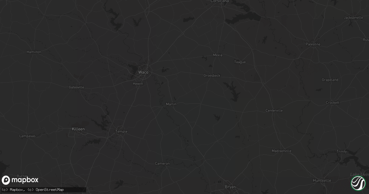
Hail Map in Phoenix, AZ on August 20, 2020
Get this storm
August 20 map
$229
one time, instant access
Download today. No call, no setup
Keep the $229
Bought the map and want the full workflow? Apply the entire $229 to a subscription within 7 days. None of it is wasted.
Every map, not just this one
This buys you this map. Subscription and you get every map we run, in the markets you choose from a few cities to whole states to nationwide. Plus real-time alerts the moment a storm fires.
Contact data
Name, contact info, occupancy, even credit band for addresses in the footprint. You go from where it hit to who to call.
Become the source they trust
Unlimited branding weather history reports on demand. You already have the documented answer ready for the property owner, and you are the one who showed up with it.
Property data and RoofTrace estimates
Pull up any address you have got, its value and the exact code rules for that jurisdiction, straight from One Click Code. Then RoofTrace estimates the squares, pitch, and roof value, priced the way you price.
Storm reports in Phoenix, AZ
Phoenix, AZ
| Date | Description |
|---|---|
| 08/19/20209:55 PM CDT | Multiple trees reported down. The largest was 6+ inch diameter. |
| 08/19/20209:50 PM CDT | ***delayed report***...power lines and trees down near 44th st. And mcdowell; also video of a palo verde tree being blown across the parking lot of a news station about |
| 08/19/20209:47 PM CDT | ***delayed report*** phoenix fire department reports large 100 ft pine tree down on house near 32nd st and osborn rd. Time estimated by radar. |
| 08/19/20209:33 PM CDT | ***delayed report*** very large tree uprooted near 40th st and thunderbird rd. Time estimated by radar. |
| 08/19/20209:12 PM CDT | ***delayed report***...metal awning blown down near 27th avenue and deer valley; also several structures with roof shingles blown off. Time of peak 50-60 mph winds esti |
All States Impacted by Hail Map on August 20, 2020
All Cities Impacted by Hail Map on August 20, 2020
- Harvey, LA
- Belle Chasse, LA
- Gretna, LA
- Alice, TX
- Ryegate, MT
- Shawmut, MT
- Casa Grande, AZ
- Washington Island, WI
- Florissant, CO
- Colorado Springs, CO
- Choteau, MT
- Calhan, CO
- Peyton, CO
- Byers, CO
- Deer Trail, CO
- Black Canyon City, AZ
- Melville, MT
- Vail, AZ
- Bay Springs, MS
- Townsend, MT
- White Sulphur Springs, MT
- Helena, MT
- Rio Rico, AZ
- Patagonia, AZ
- Nogales, AZ
- Elmaton, TX
- Palacios, TX
- Tucson, AZ
- Tubac, AZ
- Boaz, AL
- Altoona, AL
- Gallant, AL
- Beeville, TX
- Refugio, TX
- Lake Wales, FL
- Strasburg, CO
- Keenesburg, CO
- Bennett, CO
- Hudson, CO
- Hays, MT
- Valmora, NM
- Wagon Mound, NM
- Tylertown, MS
- Fort Shaw, MT
- Fairfield, MT
- Power, MT
- Woodsboro, TX
- Walker, LA
- Bozeman, MT
- Tumacacori, AZ
- Florence, AZ
- Mauk, GA
- Box Springs, GA
- Junction City, GA
- Rush, CO
- Yoder, CO
- Maricopa, AZ
- Enterprise, MS
- Pachuta, MS
- Quitman, MS
- Geyser, MT
- McCall Creek, MS
- Brady, MT
- Two Harbors, MN
- Pearl River, LA
- Meraux, LA
- Blountsville, AL
- Oneonta, AL
- Cleveland, AL
- Denham Springs, LA
- Baton Rouge, LA
- Lolita, TX
- Port Lavaca, TX
- Coffee Creek, MT
- Raynesford, MT
- Stanford, MT
- Marana, AZ
- Raymond, MS
- Monticello, GA
- Dade City, FL
- Brooksville, FL
- Madison, MS
- Canton, MS
- Flora, MS
- Pinola, MS
- Toomsuba, MS
- Meridian, MS
- Fort Benning, GA
- Bay City, TX
- San Tan Valley, AZ
- Northport, AL
- Coker, AL
- Roxie, MS
- Bynum, MT
- Iron City, GA
- Brinson, GA
- Loudon, TN
- Lexington, MS
- Livingston, LA
- Crystal Springs, MS
- Cascade, MT
- Ama, LA
- Holden, LA
- Springfield, LA
- Benson, AZ
- Meadville, MS
- Livingston, MT
- Crosby, MS
- Gloster, MS
- Chalmette, LA
- Braithwaite, LA
- Marrero, LA
- New Orleans, LA
- Rentz, GA
- Ajo, AZ
- Peridot, AZ
- Whiteriver, AZ
- Rugby, ND
- Lewistown, MT
- Moore, MT
- Ribera, NM
- Georgetown, MS
- Hazlehurst, MS
- Malta, MT
- Dodson, MT
- Kit Carson, CO
- Cheyenne Wells, CO
- Seminary, MS
- Moselle, MS
- Palm Coast, FL
- Victoria, TX
- Hobe Sound, FL
- Lauderdale, MS
- Joliet, MT
- Edwards, MS
- Big Timber, MT
- Sedona, AZ
- Young, AZ
- Augusta, MT
- Phoenix, AZ
- Macon, GA
- Clayton, AL
- Devils Lake, ND
- Ruth, MS
- Artesian, SD
- Lisman, AL
- Cuba, AL
- Rainbow City, AL
- Gadsden, AL
- Attalla, AL
- Stanfield, AZ
- Newton, MS
- San Simon, AZ
- Webster, FL
- Floweree, MT
- Plains, GA
- Stockett, MT
- Brierfield, AL
- Centreville, AL
- Soso, MS
- Taylorsville, MS
- West Yellowstone, MT
- Tivoli, TX
- Freeport, TX
- Fountain, CO
- Parrott, GA
- Porterville, MS
- Slidell, LA
- Waynesboro, MS
- Richton, MS
- Dublin, GA
- Dexter, GA
- Cadwell, GA
- Franklinton, LA
- Yazoo City, MS
- Silver City, MS
- Surprise, AZ
- Saint David, AZ
- Forest Grove, MT
- Grass Range, MT
- Zachary, LA
- Tchula, MS
- Sebastian, FL
- Vero Beach, FL
- Goliad, TX
- Matagorda, TX
- Belt, MT
- Woodville, MS
- Concepcion, TX
- San Diego, TX
- Green Valley, AZ
- Dutton, MT
- Itta Bena, MS
- Moorhead, MS
- Fort Huachuca, AZ
- Huachuca City, AZ
- Raton, NM
- Jackson, MS
- Cut Off, LA
- Lafayette, AL
- Baker, LA
- Clifton, AZ
- Hillsboro, GA
- Highwood, MT
- Whitman, NE
- Brandon, MS
- Cecil, AL
- Shorter, AL
- Maurepas, LA
- Greenwell Springs, LA
- Pride, LA
- Cotton, MN
- Adairsville, GA
- Hugo, CO
- Karval, CO
- Buckeye, AZ
- Palo Verde, AZ
- Sun River, MT
- McDonald, KS
- Fort Collins, CO
- Laporte, CO
- Eloy, AZ
- Bush, LA
- Covington, LA
- Abita Springs, LA
- Lakeland, FL
- Preston, GA
- Weston, GA
- De Kalb, MS
- Clinton, MS
- Morristown, AZ
- Paradise Valley, AZ
- Glendale, AZ
- Deland, FL
- De Leon Springs, FL
- Conrad, MT
- Scottsdale, AZ
- Sells, AZ
- Saco, MT
- Hinsdale, MT
- Nashua, MT
- Glasgow, MT
- Fort Peck, MT
- Frazer, MT


