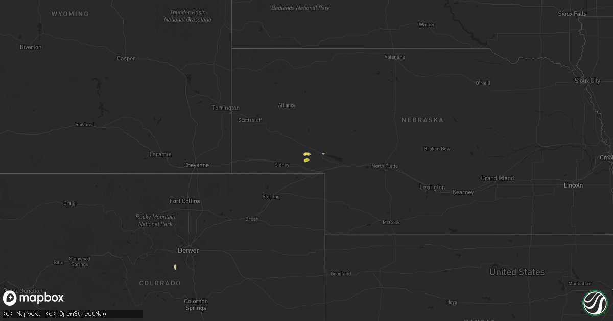
Hail Map on August 18, 2023
Get this storm
August 18 map
$229
one time, instant access
Download today. No call, no setup
Keep the $229
Bought the map and want the full workflow? Apply the entire $229 to a subscription within 7 days. None of it is wasted.
Every map, not just this one
This buys you this map. Subscription and you get every map we run, in the markets you choose from a few cities to whole states to nationwide. Plus real-time alerts the moment a storm fires.
Contact data
Name, contact info, occupancy, even credit band for addresses in the footprint. You go from where it hit to who to call.
Become the source they trust
Unlimited branding weather history reports on demand. You already have the documented answer ready for the property owner, and you are the one who showed up with it.
Property data and RoofTrace estimates
Pull up any address you have got, its value and the exact code rules for that jurisdiction, straight from One Click Code. Then RoofTrace estimates the squares, pitch, and roof value, priced the way you price.
States Impacted by Hail Map on August 18, 2023
Storm reports
Nevada
| Date | Description |
|---|---|
| 08/17/20238:30 PM CDT | National parks service reports docks separating at lake mead due to strong winds and waves. Wind gust magnitude estimated to be around 50-55 mph. |
California
| Date | Description |
|---|---|
| 08/17/20237:30 PM CDT | Semi trailer overturned by wind. Photo shared. Thunderstorm moved through deserts 530 to 700 pm. Nearby sites reported 35 mph further west in borrego springs. |
New York
| Date | Description |
|---|---|
| 08/18/202312:40 PM CDT | A few trees were snapped or split. |
Arizona
| Date | Description |
|---|---|
| 08/17/202310:33 PM CDT | Tweeds point raws site in northern arizona observed a sustained wind speed of 73 mph and a gust of 61 mph... Coupled with a 10 degree temperature drop and a 44% relativ |
| 08/17/20238:03 PM CDT | Trained spotter reports thunderstorm wind damage. A 16 foot by 8 foot aluminum canopy was flipped up and on top of the building... Completely destroying the canopy. Spo |
Massachusetts
| Date | Description |
|---|---|
| 08/18/20238:45 AM CDT | Numerous reports of trees and wires down across the town. |
| 08/18/20238:45 AM CDT | Numerous trees and wires down. |
| 08/18/20238:30 AM CDT | Side of a house sustained damage from high winds. Relayed to us from ema. |
| 08/18/20238:15 AM CDT | Tree down. |
| 08/18/20238:15 AM CDT | A tornado touchdown has been confirmed in both north attleborough and mansfield massachusetts. The survey team will determine an ef-rating as well as a complete track o |
| 08/18/20238:09 AM CDT | Tree down across the road. |
| 08/18/20238:09 AM CDT | Tree down blocking road. |
| 08/18/20238:00 AM CDT | Tree down blocking road. |
Montana
| Date | Description |
|---|---|
| 08/18/20236:52 PM CDT | A local report indicates 59 MPH wind near 2 NNE Laurel |
| 08/18/20236:49 PM CDT | Awos station k1nm november. |
| 08/18/20236:07 PM CDT | A local report indicates 64 MPH wind near 6 ENE Livingston |
| 08/18/20235:58 PM CDT | Awos station k1cm charlie. |
| 08/18/20235:15 PM CDT | Wicked creek raws |
| 08/18/20234:21 PM CDT | Mesonet station ginm8 ginger raws. Station reports hourly... Hence time estimated by radar. |
| 08/18/20234:14 PM CDT | Asos station khln helena airport. |
| 08/18/20234:13 PM CDT | Ambient station winston 19mwl. |
| 08/18/20233:26 PM CDT | Mesonet station mtbzh bozeman pass |
| 08/17/202311:17 PM CDT | A local report indicates 60 MPH wind near US-2 Stateline DOT |
| 08/17/202310:45 PM CDT | A local report indicates 62 MPH wind near Badger Creek CWOP |
| 08/17/20238:48 PM CDT | Asos reported wind gust of 70 mph between 6:48 pm and 7:48 pm... Associated with thunderstorms. |
Nebraska
| Date | Description |
|---|---|
| 08/18/20235:19 PM CDT | Corrects previous tstm wnd gst report from 10 nne chappell. At home weather station. |
| 08/18/20234:19 PM CDT | At home weather station. |
Rhode Island
| Date | Description |
|---|---|
| 08/18/20238:10 AM CDT | Large tree and power lines down. |
| 08/18/20238:08 AM CDT | Tree down on cars. |
| 08/18/20238:08 AM CDT | Multiple branches and a few large trees down. |
| 08/18/20238:05 AM CDT | Tree and wires down. |
| 08/18/20237:51 AM CDT | Tree down on road. |
| 08/18/20237:50 AM CDT | Tree down on road. |
| 08/18/20237:45 AM CDT | Broadcast media relayed a video of a tornado crossing i-295 on the smithfield and johnston town line. Time estimated to be 8:45 am. |
| 08/18/20237:45 AM CDT | Trees and branches down. |
| 08/18/20237:40 AM CDT | Multiple trees and wires down. |
| 08/18/20237:40 AM CDT | Numerous trees down on byron randall road. Additionally... A tree down on a home at the 200 block. |
| 08/18/20237:40 AM CDT | Tree down on a house. |
| 08/18/20237:39 AM CDT | Large branches down on roadway. |
| 08/18/20237:34 AM CDT | Tree down on town farm road. |
Cities Impacted by Hail Map on August 18, 2023
- Johnston, RI
- North Providence, RI
- Providence, RI
- North Scituate, RI
- Limon, CO
- Sells, AZ
- Lithia, FL
- Orlando, FL
- Oviedo, FL
- Okeechobee, FL
- Nogales, AZ
- Patagonia, AZ
- Oshkosh, NE
- Junction City, CA
- Big Bar, CA
- Ocotillo, CA
- Lewellen, NE
- Conifer, CO
- Wellington, UT
- Nevada City, CA
- Grass Valley, CA
- Needles, CA
- Price, UT
- Chappell, NE
- Pine, CO
- Saint Johns, AZ
- Quemado, NM
- South Weymouth, MA
- Weymouth, MA
- Stoughton, MA
- North Attleboro, MA
- Mansfield, MA
- Tucson, AZ
- Amado, AZ
- Rio Rico, AZ
- Tumacacori, AZ
- Tubac, AZ
- Helena, MT
- Avon, MT
- Fort Harrison, MT
- Townsend, MT
- Jefferson City, MT
- East Helena, MT
- Clancy, MT
- Winston, MT
- Boulder, MT
- Toston, MT
- Stanford, MT
- Emigrant, MT
- Gardiner, MT
- Livingston, MT
- Pray, MT
- Absarokee, MT
- Big Timber, MT
- McLeod, MT
- Nye, MT
- Fishtail, MT
- Springdale, MT
- Columbus, MT
- Greycliff, MT
- Reed Point, MT
- Bridger, MT
- Park City, MT
- Joliet, MT
- Laurel, MT
- Billings, MT
- Molt, MT
- Jordan, MT
- Circle, MT
- Fort Peck, MT
- Wolf Point, MT
- Richey, MT
- Poplar, MT
- Vida, MT
- Lambert, MT
- Bloomfield, MT
- Sidney, MT
- Brockton, MT
- Trenton, ND
- Cartwright, ND
- Williston, ND
- Culbertson, MT
- Fairview, MT
- Bainville, MT