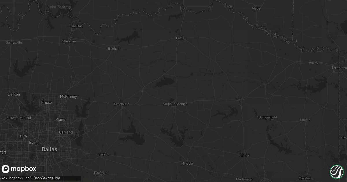
Hail Map in Tucson, AZ on August 16, 2011
Get this storm
August 16 map
$229
one time, instant access
Download today. No call, no setup
Keep the $229
Bought the map and want the full workflow? Apply the entire $229 to a subscription within 7 days. None of it is wasted.
Every map, not just this one
This buys you this map. Subscription and you get every map we run, in the markets you choose from a few cities to whole states to nationwide. Plus real-time alerts the moment a storm fires.
Contact data
Name, contact info, occupancy, even credit band for addresses in the footprint. You go from where it hit to who to call.
Become the source they trust
Unlimited branding weather history reports on demand. You already have the documented answer ready for the property owner, and you are the one who showed up with it.
Property data and RoofTrace estimates
Pull up any address you have got, its value and the exact code rules for that jurisdiction, straight from One Click Code. Then RoofTrace estimates the squares, pitch, and roof value, priced the way you price.
Storm reports in Tucson, AZ
Tucson, AZ
| Date | Description |
|---|---|
| 08/16/20116:35 PM CDT | Several trees down near thornydale rd and costco dr. |
| 08/16/20116:30 PM CDT | 18 power poles down along ina road between interstate 10 and shannon road. Several poles blocked ina road with one pole on a truck. Additional poles fell onto businesse |
| 08/16/20116:30 PM CDT | Large tree downed at butterfield elementary school. |
| 08/16/20116:30 PM CDT | Large tree down on meredith blvd |
| 08/16/20116:30 PM CDT | 18 power poles down along ina road between interstate 10 and shannon road. Several poles blocked ina road with one pole on a truck. Additional poles fell onto businesse |
| 08/16/20116:25 PM CDT | Large tree down blocking part of one lane of thornydale rd. |
| 08/16/20116:25 PM CDT | Palo verde tree downed onto porch. |
| 08/16/20116:25 PM CDT | Large tree uprooted near eaglestone loop. |
| 08/16/20116:25 PM CDT | Spotter was at cortaro and interstate 10. |
| 08/16/20116:25 PM CDT | Fence blown down onto car. |
| 08/16/20116:20 PM CDT | Trees down in the sunset point neighborhood near cortaro farms rd and star grass dr. |
| 08/16/20116:20 PM CDT | Large tree downed partially on residence. |
| 08/16/20116:20 PM CDT | Framed building being constructed collapsed. |
| 08/16/20116:20 PM CDT | Mesquite tree down at silverbell rd and continental reserve loop with several additional trees down in continental reserve area. |
| 08/16/20116:15 PM CDT | Power poles blown down on ina road between thornydale road and interstate 10. |
All States Impacted by Hail Map on August 16, 2011
All Cities Impacted by Hail Map on August 16, 2011
- Waldron, KS
- Salem, MO
- Padroni, CO
- New Raymer, CO
- Kiowa, KS
- Braman, OK
- Newkirk, OK
- Fargo, OK
- Eminence, MO
- Hardtner, KS
- Mountain View, MO
- Birch Tree, MO
- Licking, MO
- Rifle, CO
- Mooreland, OK
- Alva, OK
- Oak Creek, CO
- Stoneham, CO
- Fort Pierce, FL
- Jupiter, FL
- Stuart, FL
- Indiantown, FL
- Winkelman, AZ
- Crocker, MO
- Dixon, MO
- Orlando, FL
- Kendall, KS
- Lakin, KS
- Syracuse, KS
- Lamar, CO
- Vernal, UT
- Waynoka, OK
- Steamboat Springs, CO
- Vero Beach, FL
- Sedalia, CO
- Somerset, CO
- Jadwin, MO
- Waynesville, MO
- Summersville, MO
- Willow Springs, MO
- Palm City, FL
- Palm Beach Gardens, FL
- Trinchera, CO
- Buford, WY
- South Haven, KS
- Akron, CO
- Marshall, MO
- Tucson, AZ
- Fort Lauderdale, FL
- Winona, MO
- Houston, MO
- Bucyrus, MO
- Yukon, MO
- Elk Creek, MO
- Amado, AZ
- Hialeah, FL
- Hartshorn, MO
- Clewiston, FL
- Dierks, AR
- Umpire, AR
- Amorita, OK
- Raymondville, MO
- Windermere, FL


