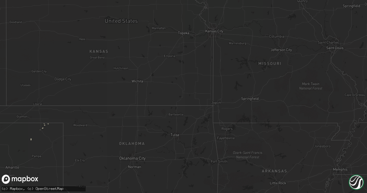
Hail Map in Montana on August 15, 2014
Get this storm
August 15 map
$229
one time, instant access
Download today. No call, no setup
Keep the $229
Bought the map and want the full workflow? Apply the entire $229 to a subscription within 7 days. None of it is wasted.
Every map, not just this one
This buys you this map. Subscription and you get every map we run, in the markets you choose from a few cities to whole states to nationwide. Plus real-time alerts the moment a storm fires.
Contact data
Name, contact info, occupancy, even credit band for addresses in the footprint. You go from where it hit to who to call.
Become the source they trust
Unlimited branding weather history reports on demand. You already have the documented answer ready for the property owner, and you are the one who showed up with it.
Property data and RoofTrace estimates
Pull up any address you have got, its value and the exact code rules for that jurisdiction, straight from One Click Code. Then RoofTrace estimates the squares, pitch, and roof value, priced the way you price.
Storm reports in Montana
Montana
| Date | Description |
|---|---|
| 08/15/20146:25 PM CDT | 58 mph wind gusts measured in big sandy. |
| 08/15/20141:54 PM CDT | A local report indicates 1.00 inch wind near 2 SSE BUTTE |
| 08/15/20141:44 PM CDT | Heavy rain with storm. |
| 08/15/20141:38 PM CDT | Heavy rain with storm. |
| 08/15/20141:30 PM CDT | A local report indicates 1.00 inch wind near 3 W DEER LODGE |
| 08/14/201410:48 PM CDT | A local report indicates 58 MPH wind near 2 W JORDAN |
| 08/14/20148:49 PM CDT | Also heavy rain and frequent lightning |
All States Impacted by Hail Map on August 15, 2014
Cities Impacted by Hail Map on August 15, 2014
- Raynesford, MT
- Geyser, MT
- East Helena, MT
- Malta, MT
- Alta, WY
- Billings, MT
- Geraldine, MT
- Belt, MT
- Perryton, TX
- Floweree, MT
- Laverne, OK
- Denton, MT
- Lincoln, MT
- Marysville, MT
- Canyon Creek, MT
- Stockett, MT
- Great Falls, MT
- Helena, MT
- Sheridan, WY
- Crow Agency, MT
- Zortman, MT
- Manhattan, MT
- Fort Morgan, CO
- Weldona, CO
- Winston, MT
- Lorida, FL
- Deer Lodge, MT
- Dillon, MT
- Twin Bridges, MT
- Hobson, MT
- Hinsdale, MT
- Big Sandy, MT
- Sun River, MT
- Wolf Creek, MT
- Driggs, ID
- Brady, MT
- Fort Benton, MT
- Jasper, FL
- Rangely, CO
- Coffee Creek, MT
- Box Elder, MT
- Dulce, NM
- Carmen, ID
- Westcliffe, CO
- Winifred, MT
- Lloyd, MT
- Dutton, MT
- Live Oak, FL
- Snyder, CO
- Buffalo, MT
- Inkom, ID
- Cascade, MT
- East Glacier Park, MT
- De Beque, CO
- Roy, MT
- Winnett, MT
- Amelia, NE
- Delray Beach, FL
- Conrad, MT
- Shelby, MT
- Spearman, TX
- Victor, ID
- Boca Raton, FL
- Pompano Beach, FL
- Deerfield Beach, FL
- Wiggins, CO
- Lewistown, MT
- Miami, FL
- Whitlash, MT
- Avon, MT
- Navajo Dam, NM
- Valier, MT
- Pleasant Hill, NC
- Emporia, VA
- Seaboard, NC
- Fort Lauderdale, FL
- Booker, TX
- Power, MT
- Carter, MT
- Saco, MT
- Monarch, MT
- Anaconda, MT
- Brush, CO
- Molt, MT
- Waynesville, GA
- Ledger, MT
- Wisdom, MT
- Saint Xavier, MT
- Wolf, WY


