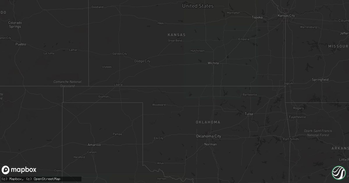
Hail Map in Arizona on August 13, 2022
Get this storm
August 13 map
$229
one time, instant access
Download today. No call, no setup
Keep the $229
Bought the map and want the full workflow? Apply the entire $229 to a subscription within 7 days. None of it is wasted.
Every map, not just this one
This buys you this map. Subscription and you get every map we run, in the markets you choose from a few cities to whole states to nationwide. Plus real-time alerts the moment a storm fires.
Contact data
Name, contact info, occupancy, even credit band for addresses in the footprint. You go from where it hit to who to call.
Become the source they trust
Unlimited branding weather history reports on demand. You already have the documented answer ready for the property owner, and you are the one who showed up with it.
Property data and RoofTrace estimates
Pull up any address you have got, its value and the exact code rules for that jurisdiction, straight from One Click Code. Then RoofTrace estimates the squares, pitch, and roof value, priced the way you price.
Storm reports in Arizona
Arizona
| Date | Description |
|---|---|
| 08/13/20226:10 PM CDT | Spotter reported numerous trees down and one tree split as a result of thunderstorm related wind gusts in kingman on andy devine by interstate 40. |
| 08/13/202212:49 AM CDT | At 548 PM MST, a severe thunderstorm was located near and south of Ajo, moving north at 5 mph. HAZARD...60 mph wind gusts and penny size hail. SOURCE...Radar indicated. IMPACT...Expect damage to roofs, siding, and trees. Locations impacted include... Ajo and Why. |
| 08/13/202212:35 AM CDT | At 535 PM MST, a severe thunderstorm was located 10 miles east of San Carlos, or 27 miles east of Globe, moving northwest at 10 mph. HAZARD...60 mph wind gusts and penny size hail. SOURCE...Radar indicated. IMPACT...Expect damage to roofs, siding, and trees. This severe thunderstorm will remain over mainly remote areas of northwestern Graham County. |
| 08/12/20229:51 PM CDT | At 251 PM MST, a severe thunderstorm was located near Nogales, and is nearly stationary. HAZARD...60 mph wind gusts and quarter size hail. SOURCE...Radar indicated. IMPACT...Hail damage to vehicles is expected. Expect wind damage to roofs, siding, and trees. Locations impacted include... Nogales, Nogales International Airport and Kino Springs. |
| 08/12/20229:34 PM CDT | At 233 PM MST, a severe thunderstorm was located over Patagonia Lake State Park, or 11 miles northeast of Nogales, and is nearly stationary. HAZARD...60 mph wind gusts and penny size hail. SOURCE...Radar indicated. IMPACT...Expect damage to roofs, siding, and trees. Locations impacted include... Patagonia and Patagonia Lake State Park. |
All States Impacted by Hail Map on August 13, 2022
Cities Impacted by Hail Map on August 13, 2022
- Woodman, WI
- Boscobel, WI
- Fennimore, WI
- Roundup, MT
- Hobson, MT
- Shawano, WI
- Bonduel, WI
- Cecil, WI
- Big Timber, MT
- Laramie, WY
- Waterville, IA
- Harpers Ferry, IA
- Monona, IA
- Ashton, ID
- New Albin, IA
- Lansing, IA
- Livingston, MT
- Nogales, AZ
- Labelle, FL
- Bosler, WY
- Judith Gap, MT
- Clancy, MT
- Pulaski, WI
- Keshena, WI
- Krakow, WI
- Moore, ID
- Howe, ID
- Dorchester, IA
- Prairie Du Chien, WI
- Wauzeka, WI
- Gillett, WI
- Garrett, WY
- Martinsdale, MT
- Saint Anthony, ID
- Tucson, AZ
- Campo, CA
- Tumacacori, AZ
- Amado, AZ
- Gresham, WI
- Okeechobee, FL
- Casper, WY
- Warner Springs, CA
- Rockland, ID
- Neopit, WI
- Alva, FL
- Perrysville, IN
- Danville, IL
- Covington, IN
- Waukon, IA
- Green Bay, WI
- Santa Ysabel, CA
- Estes Park, CO
- Toston, MT
- Reed Point, MT
- Billings, MT
- Acton, MT
- Molt, MT
- Rapelje, MT


