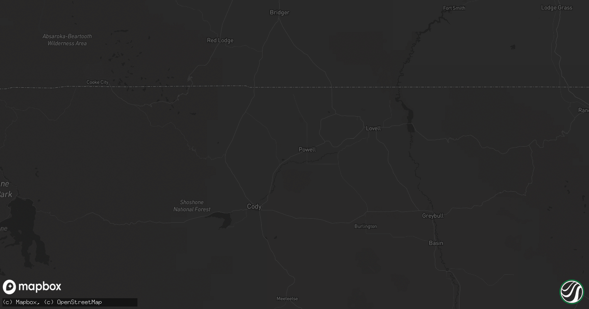
Hail Map in Custer, SD on August 11, 2013
Get this storm
August 11 map
$229
one time, instant access
Download today. No call, no setup
Keep the $229
Bought the map and want the full workflow? Apply the entire $229 to a subscription within 7 days. None of it is wasted.
Every map, not just this one
This buys you this map. Subscription and you get every map we run, in the markets you choose from a few cities to whole states to nationwide. Plus real-time alerts the moment a storm fires.
Contact data
Name, contact info, occupancy, even credit band for addresses in the footprint. You go from where it hit to who to call.
Become the source they trust
Unlimited branding weather history reports on demand. You already have the documented answer ready for the property owner, and you are the one who showed up with it.
Property data and RoofTrace estimates
Pull up any address you have got, its value and the exact code rules for that jurisdiction, straight from One Click Code. Then RoofTrace estimates the squares, pitch, and roof value, priced the way you price.
Storm reports in Custer, SD
Custer, SD
| Date | Description |
|---|---|
| 08/11/20136:00 PM CDT | A local report indicates 1.75 inch wind near 4 S PRINGLE |
| 08/11/20135:16 PM CDT | Plows sent out to remove hail covering highway 385 from 2 miles south and north of custer county shop |
| 08/11/20134:50 PM CDT | A local report indicates 1.00 inch wind near 1 SSW DOWNTOWN CUSTER |
| 08/11/20134:48 PM CDT | A local report indicates 1.75 inch wind near 3 SW DOWNTOWN CUSTER |
| 08/11/20134:30 PM CDT | A local report indicates 2.00 inch wind near 5 ENE DOWNTOWN CUSTER |
| 08/11/20134:15 PM CDT | A local report indicates 1.50 inch wind near 5 NE DOWNTOWN CUSTER |
| 08/11/20133:10 PM CDT | A local report indicates 1.00 inch wind near HILL CITY |
All States Impacted by Hail Map on August 11, 2013
All Cities Impacted by Hail Map on August 11, 2013
- Newcastle, WY
- Lance Creek, WY
- Gillette, WY
- Wright, WY
- Kaycee, WY
- Buffalo, WY
- Deadwood, SD
- Lead, SD
- Piedmont, SD
- Nemo, SD
- Custer, SD
- Keystone, SD
- Hot Springs, SD
- Hill City, SD
- Hermosa, SD
- Pringle, SD
- Rapid City, SD
- Wise River, MT
- Bozeman, MT
- Garryowen, MT
- Hardin, MT
- Polaris, MT
- Molt, MT
- Reed Point, MT
- Dillon, MT
- Whitehall, MT
- Clyde Park, MT
- Greycliff, MT
- Ballantine, MT
- Glen, MT
- Silver Star, MT
- Huntley, MT
- Belgrade, MT
- Rapelje, MT
- Ellis, ID
- Cardwell, MT
- Pony, MT
- Pompeys Pillar, MT
- Broadview, MT
- Sheridan, MT
- Carmen, ID
- Manhattan, MT
- Busby, MT
- Three Forks, MT
- Harrison, MT
- Salmon, ID
- Melville, MT
- Livingston, MT
- Billings, MT
- Crow Agency, MT
- Jackson, MT
- Worden, MT
- Wilsall, MT
- Shoup, ID
- Acton, MT
- Shepherd, MT
- Big Timber, MT
- Twin Bridges, MT
- Quail, TX
- Fort Supply, OK
- Woodward, OK
- Fargo, OK
- Chadron, NE
- Loup City, NE
- Boelus, NE
- Ashton, NE
- Rockville, NE
- Paoli, CO
- Haxtun, CO
- Holyoke, CO
- Willow, OK
- Mangum, OK
- Ogden, IA
- Madrid, IA
- Boone, IA
- Luther, IA
- Almena, KS
- Hemingford, NE
- Marsland, NE
- Wichita Falls, TX
- Blair, OK
- Upton, WY
- Leonardville, KS
- Manhattan, KS
- Olsburg, KS
- Edgemont, SD
- Yuma, CO
- Blue Hill, NE
- Fountain, NC
- Pinetops, NC
- Macclesfield, NC
- Juniata, NE
- Wellington, TX
- Dayton, WA
- Cottondale, FL
- Chipley, FL
- Eustis, NE
- Bartley, NE
- Holbrook, NE
- Arapahoe, NE
- Edison, NE
- Cambridge, NE
- Rush, CO
- Wolbach, NE
- Palmer, NE
- Edson, KS
- Ravenna, NE
- Thompson Falls, MT
- Primrose, NE
- Cedar Rapids, NE
- Jay Em, WY
- Latimer, IA
- Lawrence, NE
- Glenvil, NE
- Surry, VA
- Ellsworth, NE
- Holstein, NE
- Roseland, NE
- Alta Vista, KS
- Junction City, KS
- Scandia, KS
- Buffalo Gap, SD
- Greeley, NE
- Scotia, NE
- Keystone, NE
- Paxton, NE
- Marianna, FL
- Alford, FL
- Superior, NE
- Clarkson, NE
- Harcourt, IA
- Burlington, CO
- Dahlonega, GA
- Long Island, KS
- Lewellen, NE
- Decatur, NE
- Alma, KS
- Granite, OK
- Goodland, KS
- Wellington, KS
- Caldwell, KS
- Mayfield, KS
- Graham, TX
- Fort Dodge, IA
- Weskan, KS
- Kanorado, KS
- Doniphan, NE
- Albion, NE
- Landrum, SC
- Norway, KS
- Belleville, KS
- Courtland, KS
- Clare, IA
- Humboldt, IA
- Hay Springs, NE
- Paton, IA
- Dana, IA
- Norton, KS
- Lenora, KS
- Logan, KS
- Prairie View, KS
- Ackley, IA
- Platte Center, NE
- Spalding, NE
- Shelton, NE
- Kenesaw, NE
- Wood River, NE
- Ayr, NE
- Indianola, NE
- Rose Hill, NC
- Stanton, NE
- Vona, CO
- Seibert, CO
- Randolph, MS
- Houlka, MS
- Pontotoc, MS
- Headrick, OK
- Flagler, CO
- Austinville, IA
- Hampton, IA
- Guide Rock, NE
- Roosevelt, OK
- Hobart, OK
- Leigh, NE
- Moorcroft, WY
- North Loup, NE
- Ord, NE
- Farwell, NE
- Cairo, NE
- Callender, IA
- Somers, IA
- Moorland, IA
- Oakland, NE
- Tekamah, NE
- Craig, NE
- Lyons, NE
- Lemoyne, NE
- Arthur, NE
- Geneva, IA
- Howells, NE
- Phillips, NE
- Onawa, IA
- Teachey, NC
- Wallace, NC
- Grand Island, NE
- Lindsay, NE
- Aplington, IA
- Columbus, NE
- Monroe, NE
- Humphrey, NE
- Hastings, NE
- Lyndon, KS
- Dwight, KS
- Madison, NE
- Chapman, NE
- Newcastle, TX
- Wray, CO
- Phillipsburg, KS
- Sharon Springs, KS
- Smithfield, VA
- Giltner, NE
- Ropesville, TX
- Randolph, KS
- Duncombe, IA
- Manson, IA
- Ogallala, NE
- Jewell, KS
- Whitney, NE
- Norfolk, NE
- Plains, MT
- Pink Hill, NC
- Barnes, KS
- Edgar, NE
- Burr Oak, KS
- Randall, KS
- Jamestown, KS
- Concordia, KS
- Cotton Plant, AR
- Chesapeake, VA
- Nelson, NE
- Deweese, NE
- Marquette, NE
- Fairfield, NE
- Beloit, KS
- Ruskin, NE
- Toney, AL
- Riceville, TN
- Kenansville, NC
- Dayton, IA
- Barnum, IA
- Knierim, IA
- Gowrie, IA
- Eskridge, KS
- Harveyville, KS
- Allen, KS
- Vassar, KS
- Kirwin, KS
- Esbon, KS
- Clay Center, KS
- Meridianville, AL
- Moorefield, NE
- Beemer, NE
- Fort Eustis, VA
- Harper, KS
- Calhan, CO
- Carter, OK
- Minden, NE
- Gilmore City, IA
- Jefferson, IA
- Newman Grove, NE
- Lodge Grass, MT
- Stockville, NE
- Shepherd, TX
- Eupora, MS
- Burlingame, KS
- Corn, OK
- Bradgate, IA
- Lone Wolf, OK
- Wisner, NE
- Dodge, NE
- Hampton, NE
- Las Cruces, NM
- Dill City, OK
- Downs, KS
- Chappell Hill, TX
- Genoa, NE
- Duck Hill, MS
- Gibbon, NE
- Bladen, NE
- Red Cloud, NE
- Moyie Springs, ID
- Palmer, IA
- Lawton, OK
- Litchfield, NE
- Hazel Green, AL
- Portis, KS
- Gaylord, KS
- Norris, TN
- Pryor, MT
- Altus, OK
- Scranton, KS
- Hornick, IA
- Aurora, NE
- Pilger, NE
- Woodson, TX
- Coulter, IA
- Alexander, IA
- Sentinel, OK
- Stratton, CO
- Tishomingo, MS
- Knotts Island, NC
- Town Creek, AL
- Leighton, AL
- Yoder, CO
- Troy, MT
- Stantonsburg, NC
- Elm City, NC
- Malaga, WA
- Ellensburg, WA
- Valley Falls, KS
- Morgantown, KY
- Lewisburg, KY
- Saint Edward, NE
- Deshler, NE
- Macy, NE
- Torrington, WY
- Athol, KS
- Smith Center, KS
- Miller, NE
- Beaver City, NE
- Hendley, NE
- Olive Branch, MS
- Autryville, NC
- Salemburg, NC
- Roseboro, NC
- Sidney, NE
- Bastrop, LA
- Tunica, MS
- Magnolia, NC
- Oak, NE
- Mankato, KS
- Hardy, NE
- Stamford, NE
- Wilmington, NC
- La Follette, TN
- Ames, IA
- Kelley, IA
- Woodward, IA
- Brenham, TX
- Azle, TX
- Kensington, KS
- Arnett, OK
- Osage City, KS
- Canute, OK
- Enterprise, OR
- Madrid, NE
- Holliday, TX
- Gore Springs, MS
- Freeport, KS
- Milan, KS
- Danville, KS
- Argonia, KS
- Loomis, NE
- Holdrege, NE
- Creston, NE
- Portsmouth, VA
- Hubbell, NE
- Hebron, NE
- Green, KS
- Campobello, SC
- Alliance, NE
- Tipton, OK
- Dayton, TN
- Sevierville, TN
- Noxon, MT
- Calvert City, KY
- Williamston, NC
- Rolfe, IA
- Mountain Park, OK
- Hubert, NC
- Sneads Ferry, NC
- Clinton, OK
- Greenville, TX
- Imnaha, OR
- Henrietta, TX


