Hail Map in Alabama on August 4, 2011
Get this storm
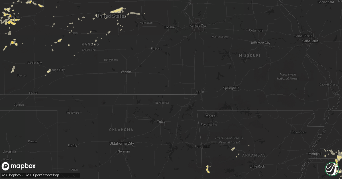
August 4 map
$229
one time, instant access
Download today. No call, no setup
Keep the $229
Bought the map and want the full workflow? Apply the entire $229 to a subscription within 7 days. None of it is wasted.
Every map, not just this one
This buys you this map. Subscription and you get every map we run, in the markets you choose from a few cities to whole states to nationwide. Plus real-time alerts the moment a storm fires.
Contact data
Name, contact info, occupancy, even credit band for addresses in the footprint. You go from where it hit to who to call.
Become the source they trust
Unlimited branding weather history reports on demand. You already have the documented answer ready for the property owner, and you are the one who showed up with it.
Property data and RoofTrace estimates
Pull up any address you have got, its value and the exact code rules for that jurisdiction, straight from One Click Code. Then RoofTrace estimates the squares, pitch, and roof value, priced the way you price.
Storm reports in Alabama
Alabama
| Date | Description |
|---|---|
| 08/04/20116:34 PM CDT | At least one tree and several tree limbs down near downtown mobile. |
| 08/04/20114:30 PM CDT | Many trees down across lamar county... Especially north of vernon. |
| 08/04/20114:15 PM CDT | Several trees down and large section of roof from a shed blown away. Estimated wind gust up to 70 mph. |
| 08/04/20114:05 PM CDT | Many trees down across marion county. |
| 08/04/20111:55 PM CDT | Trees down in glencoe along air depot road and college street. One tree fell on a house. Also a tin roof was damaged. |
| 08/04/201111:25 AM CDT | A local report indicates 1.00 inch wind near BAILEYTON |
| 08/04/201111:20 AM CDT | Time estimated from radar |
| 08/04/201111:14 AM CDT | Trees down on county road 88 at pine ridge. Timing based on radar. |
| 08/04/201111:00 AM CDT | Trees down and barns damaged near the intersection of al hwy 176 and county road 55 in the mount vernon community |
All States Impacted by Hail Map on August 4, 2011
Cities Impacted by Hail Map on August 4, 2011
- Sentinel Butte, ND
- Angora, NE
- Galesburg, ND
- Edson, KS
- Glenwood, GA
- Leakesville, MS
- Oberlin, KS
- Selden, KS
- Hebron, ND
- Dalton, NE
- Sidney, NE
- Oshkosh, NE
- Lodgepole, NE
- Lisco, NE
- Gurley, NE
- Somerville, TN
- Goodland, KS
- Kanorado, KS
- New Hope, AL
- Grant, AL
- Woodville, AL
- Aberdeen, ID
- Saint Francis, KS
- Tishomingo, MS
- Dennis, MS
- Red Bay, AL
- Belmont, MS
- Cherokee, AL
- Calhoun City, MS
- Richfield, ID
- Paul, ID
- Thornton, AR
- Fordyce, AR
- Bunker Hill, KS
- Puxico, MO
- Holcomb, MS
- Bruce, MS
- Lemoyne, NE
- Arthur, NE
- Henderson, TN
- Mcville, ND
- Max, ND
- Ellsworth, KS
- Richey, MT
- Bloomfield, MT
- Dublin, GA
- Tupelo, MS
- Concordia, KS
- Jamestown, KS
- Holyrood, KS
- Claflin, KS
- Wibaux, MT
- Sheffield, AL
- Tuscumbia, AL
- Ellis, KS
- Elberton, GA
- Alton, MO
- West Valley City, UT
- Salt Lake City, UT
- Kim, CO
- Town Creek, AL
- Wilburton, OK
- Fulton, MS
- Glendive, MT
- Pontotoc, MS
- Harrison, NE
- Mentone, AL
- Fort Payne, AL
- Benedict, ND
- Coleharbor, ND
- Turtle Lake, ND
- Winona, MO
- Bearden, AR
- Vona, CO
- Five Points, TN
- Lexington, AL
- Loretto, TN
- Anderson, AL
- Leoma, TN
- Atmore, AL
- Booneville, MS
- Alliance, NE
- Meridian, MS
- Washington, GA
- Huntsville, AL
- Tribune, KS
- Saltillo, MS
- Mantachie, MS
- Guntown, MS
- Salem, MO
- American Falls, ID
- Mena, AR
- Boles, AR
- Dardanelle, AR
- Corinth, MS
- Grand Junction, TN
- Saulsbury, TN
- Michigan City, MS
- Hickory Flat, MS
- Myrtle, MS
- Stockton, KS
- Natoma, KS
- Plainville, KS
- Torrington, WY
- Watson, OK
- Tryon, NE
- Banner, MS
- Randolph, MS
- Talihina, OK
- Lance Creek, WY
- Bolivar, TN
- Hornsby, TN
- Page, ND
- Hope, ND
- Richland, MT
- Brooksville, MS
- Columbus, MS
- Carrollton, AL
- Ethelsville, AL
- Houlka, MS
- Okolona, MS
- Butler, AL
- Lisman, AL
- Lenora, KS
- Salley, SC
- Burnsville, MS
- Hanksville, UT
- Rockland, ID
- Troy, AL
- Pittsboro, MS
- Yoder, CO
- Calhan, CO
- Bridgeport, NE
- Stratton, CO
- New Edinburg, AR
- Cuba, AL
- Golden, MS
- Marietta, MS
- Mooreville, MS
- Baldwyn, MS
- New Site, MS
- Hemingford, NE
- Semmes, AL
- Beloit, KS
- Lakeside, NE
- Ellsworth, NE
- Sheridan Lake, CO
- Bowdon, ND
- Fessenden, ND
- Cathay, ND
- Dighton, KS
- Savage, MT
- Leighton, AL
- Holly, CO
- Iuka, MS
- Brownsboro, AL
- Burlington, CO
- Smithville, OK
- Kingsland, AR
- Muscle Shoals, AL
- Bruneau, ID
- Buhl, ID
- Haigler, NE
- Vina, AL
- Spruce Pine, AL
- Russellville, AL
- Scobey, MT
- Opheim, MT
- Peerless, MT
- Water Valley, MS
- Big Creek, MS
- Paris, MS
- Red Oak, OK
- Cabool, MO
- Willow Springs, MO
- Malta, ID
- Monticello, AR
- Steens, MS
- Banks, AR
- Padroni, CO
- Grover, CO
- Bushnell, NE
- Pine Bluffs, WY
- New Raymer, CO
- Kimball, NE
- Marshfield, MO
- Gurley, AL
- Owens Cross Roads, AL
- Kingston, UT
- McDonald, KS
- Poplar Bluff, MO
- Lewellen, NE
- Henagar, AL
- Pisgah, AL
- Wellington, FL
- Loxahatchee, FL
- West Palm Beach, FL
- Ripley, MS
- Tiplersville, MS
- Watford City, ND
- Taylors, SC
- Branson, CO
- Haleyville, AL
- Little Rock, MS
- Magna, UT
- Tremont, MS
- Blue Springs, MS
- Coffeeville, MS
- Pennington, AL
- Sweet Water, AL
- Casa, AR
- Ola, AR
- Olsburg, KS
- Buffalo, MO
- Vernal, UT
- Bayard, NE
- Cantonment, FL
- Pensacola, FL
- Sutherland, NE
- Medora, ND
- Eads, CO
- Ransom, KS
- Cullman, AL
- Baileyton, AL
- Moscow, TN
- Rogersville, MO
- Strafford, MO
- Ider, AL
- Flat Rock, AL
- Higdon, AL
- Herndon, KS
- Atwood, KS
- Houston, MS
- Collierville, TN
- Middleton, TN
- Montezuma, KS
- Cimarron, KS
- Eads, TN
- Arlington, TN
- Vardaman, MS
- Pitts, GA
- Mountain View, MO
- York, AL
- Dickinson, ND
- Circle, MT
- Broadwater, NE
- Milton, FL
- Lehi, UT
- Whitesboro, OK
- Randolph, KS
- Clay Center, KS
- Leonardville, KS
- Green, KS
- Morganville, KS
- Hays, KS
- Eastman, GA
- Anderson, SC
- Bridgeport, AL
- Blountsville, AL
- Fremont, MO
- Rossville, TN
- Rayle, GA
- Camdenton, MO
- Gladstone, ND
- New Rockford, ND
- Sheyenne, ND
- Cascade, MT
- Glennville, GA
- Hartwell, GA
- Fair Play, SC
- Lavonia, GA
- Cordele, GA
- Section, AL
- Dutton, AL
- Scottsboro, AL
- Pocahontas, TN
- Walnut, MS
- Ramer, TN
- Selmer, TN
- Widener, AR
- Ludell, KS
- Ashland, MS
- Lamar, MS
- Alexander, KS
- Bethel Springs, TN
- Cascilla, MS
- Johnson, KS
- Warren, AR
- Gaylesville, AL
- Bingham Canyon, UT
- Cochran, GA
- Rupert, ID
- North Platte, NE
- Glen, MS
- Joppa, AL
- Arab, AL
- Wilmer, AL
- Atkinson, NC
- Orem, UT
- Vineyard, UT
- Mobile, AL
- Alamo, GA
- Granada, CO
- Mchenry, ND
- Fleming, CO
- Post, OR
- Pekin, ND
- Lucas, IA
- New Market, AL
- Clyde, KS
- Clifton, KS
- Tunas, MO
- Lebanon, MO
- Douglas, ND
- Richland, GA
- Blue Mountain, MS
- West Jordan, UT
- Blackfoot, ID
- Firth, ID
- Sells, AZ
- Nephi, UT
- Morland, KS
- Wilson, KS
- Fallon, MT
- Pocatello, ID
- Hershey, NE
- Pingree, ID
- Beach, ND
- Westpoint, TN
- Solomon, KS
- Bronwood, GA
- Dawson, GA
- Wiley, CO
- New Virginia, IA
- Lawrenceburg, TN
- Athens, AL
- Russellville, AR
- Denmark, TN
- Jackson, TN
- Wister, OK
- Tignall, GA
- Brewton, AL
- Mountain Home, UT
- Fruitland, UT
- Moulton, AL
- Kendall, KS
- Belden, MS
- Minneapolis, KS
- Summerville, GA
- Leoti, KS
- Montello, NV
- Myrtle Beach, SC
- Murrells Inlet, SC
- Beeler, KS
- Ness City, KS
- Shannon, MS
- Aurora, KS
- Fair Grove, MO
- Harvey, ND
- Mantee, MS
- Woodland, MS
- Port Royal, SC
- Beaufort, SC
- Caledonia, MS
- Millport, AL
- Lambert, MT
- Canon, GA
- Royston, GA
- Blanchard, ND
- Loman, MN
- Miltonvale, KS
- Holly Springs, MS
- Potts Camp, MS
- Delaware, AR
- London, AR
- Hickory Valley, TN
- Hodgen, OK
- Rozel, KS
- Larned, KS
- Morrilton, AR
- Phil Campbell, AL
- Dumas, MS
- Tanner, AL
- Hickory, MS
- Decatur, MS
- Newton, MS
- Hollywood, AL
- Dexter, MO
- Dudley, MO
- Norton, KS
- Ariton, AL
- Plato, MO
- Huggins, MO
- Emelle, AL
- Livingston, AL
- Hyannis, NE
- Paint Rock, AL
- Oakley, ID
- Heavener, OK
- Winfield, AL
- Brilliant, AL
- Sharon Springs, KS
- Fillmore, UT
- Eva, AL
- Somerville, AL
- Collinsville, MS
- Medon, TN
- Oakland, TN
- Williston, TN
- New Albany, MS
- Van Buren, AR
- Muldrow, OK
- Hamilton, AL
- Wickes, AR
- Shelley, ID
- Langston, AL
- Kit Carson, CO
- Bethune, CO
- Conway, SC
- Fruitdale, AL
- State Line, MS
- Jachin, AL
- Lenox, MO
- Tolna, ND
- Trenton, SC
- Johnston, SC
- Estillfork, AL
- Huntland, TN
- Sylvania, AL
- Collinsville, AL
- Rainsville, AL
- Fyffe, AL
- Tipton, KS
- Currie, NC
- Bryant, AL
- Whitman, NE
- Mountain Grove, MO
- Honobia, OK
- Burley, ID
- Princeton, AL
- Hollytree, AL
- Irwin, ID
- Rome, GA
- Nauvoo, AL
- Sikeston, MO
- Lake Waccamaw, NC
- Hallsboro, NC
- Whiteville, NC
- Shellman, GA
- Duchesne, UT
- Starr, SC
- Osborne, KS
- Cleveland, MS
- Doddsville, MS
- Grand Canyon, AZ
- Groveoak, AL
- Eight Mile, AL
- Midland City, AL
- Hazel Green, AL
- Robertsdale, AL
- Ashburn, GA
- Center Ridge, AR
- Parrott, GA
- Vinegar Bend, AL
- Wagener, SC
- Albertville, AL
- Crossville, AL
- Belton, SC
- Cartwright, ND
- Newton, AL
- Porterville, MS
- Epes, AL
- Dawson, AL
- Twin Falls, ID
- Minot, ND
- Horton, AL
- Lander, WY
- Fairfield, ND
- Carbon Hill, AL
- Council Grove, KS
- Weskan, KS
- Cheyenne Wells, CO
- Idalia, CO
- Delphos, KS
- Glen Elder, KS
- Downs, KS
- Arlington, GA
- Damascus, GA
- Mount Vernon, GA
- International Falls, MN
- Cedartown, GA
- Rockmart, GA
- Macks Creek, MO
- Eldridge, MO
- Montreal, MO
- Goodrich, ND
- Murtaugh, ID
- Bird City, KS
- Taylor, ND
- Syracuse, KS
- Littlefork, MN
- Climax Springs, MO
- Leesburg, GA
- Nettleton, MS
- Detroit, AL
- Verona, MS
- Rienzi, MS
- Plantersville, MS
- Union Grove, AL
- Tallapoosa, GA
- Hodges, AL
- Salina, KS
- New Cambria, KS
- Perdido, AL
- Beverly, KS
- Brookville, KS
- Chaseley, ND
- Folkston, GA
- Roach, MO
- Valley Head, AL
- Whiteville, TN
- Toone, TN
- Finger, TN
- Aneta, ND
- Bloomfield, MO
- Westminster, SC
- Hurdsfield, ND
- Sterling, CO
- Bennington, KS
- Hackleburg, AL
- Quinter, KS
- Russell, KS
- Fackler, AL
- Brooklyn, MS
- Wiggins, MS
- Malad City, ID
- Downey, ID
- Glasco, KS
- Payson, UT
- Paulina, OR
- Pineview, GA
- Hawkinsville, GA
- Attalla, AL
- Cove, AR
- Alton, KS
- Utica, KS
- Dothan, AL
- Hoisington, KS
- Clayton, AL
- Clopton, AL
- Eufaula, AL


