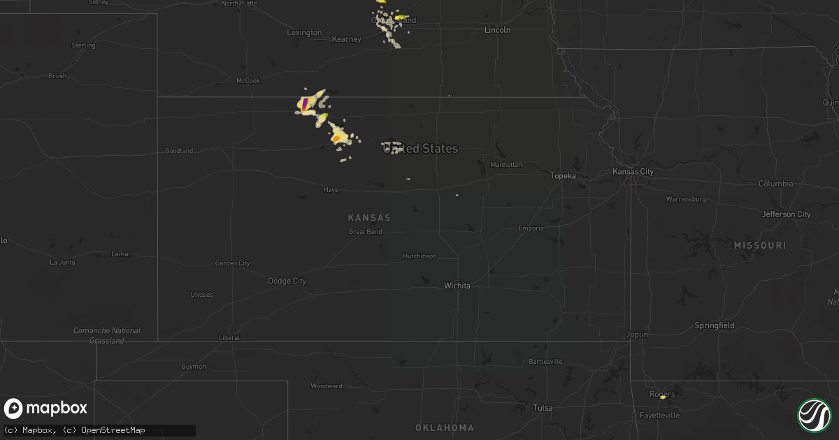
Hail Map in Kansas on July 30, 2016
Get this storm
July 30 map
$229
one time, instant access
Download today. No call, no setup
Keep the $229
Bought the map and want the full workflow? Apply the entire $229 to a subscription within 7 days. None of it is wasted.
Every map, not just this one
This buys you this map. Subscription and you get every map we run, in the markets you choose from a few cities to whole states to nationwide. Plus real-time alerts the moment a storm fires.
Contact data
Name, contact info, occupancy, even credit band for addresses in the footprint. You go from where it hit to who to call.
Become the source they trust
Unlimited branding weather history reports on demand. You already have the documented answer ready for the property owner, and you are the one who showed up with it.
Property data and RoofTrace estimates
Pull up any address you have got, its value and the exact code rules for that jurisdiction, straight from One Click Code. Then RoofTrace estimates the squares, pitch, and roof value, priced the way you price.
Storm reports in Kansas
Kansas
| Date | Description |
|---|---|
| 07/30/20161:35 AM CDT | Deputy reported quarter to ping pong ball size hail along highway 183. |
| 07/30/20161:00 AM CDT | Hail for past 15 minutes ending at time of event. Pea to half dollar size. Wind ranging from no wind up to estimated 60 mph. |
| 07/30/201612:29 AM CDT | A local report indicates 1.75 inch wind near 1 N ALMENA |
All States Impacted by Hail Map on July 30, 2016
Cities Impacted by Hail Map on July 30, 2016
- Norton, KS
- Almena, KS
- Long Island, KS
- Kyle, SD
- Osborne, KS
- Alton, KS
- Phillipsburg, KS
- Alma, NE
- Belle Fourche, SD
- Hill City, SD
- Pierre, SD
- Blunt, SD
- Onida, SD
- Wanblee, SD
- Lincoln, KS
- Rapid City, SD
- Circle, MT
- Caputa, SD
- Ringold, OK
- Draper, SD
- Batesland, SD
- Allen, SD
- Martin, SD
- Jordan, MT
- Fort Peck, MT
- Long Valley, SD
- Grand Island, NE
- Pueblo, CO
- Fort Pierre, SD
- Solomon, KS
- Vivian, SD
- Murdo, SD
- Woodston, KS
- Pine Ridge, SD
- Natoma, KS
- Wood River, NE
- Alda, NE
- Buffalo, SD
- Lowell, AR
- Rogers, AR
- Whitewater, MT
- Glen Elder, KS
- Selby, SD
- Glenham, SD
- Mobridge, SD
- Wakpala, SD
- Mound City, SD
- Eagle Butte, SD
- Martin, ND
- Gillette, WY
- Rozet, WY
- Primrose, NE
- Box Elder, SD
- Harvey, ND
- Orleans, NE
- Stamford, NE
- Okaton, SD
- Newcastle, WY
- Custer, SD
- Cairo, NE
- Doniphan, NE
- Beaver City, NE
- Stockton, KS
- Loup City, NE
- Phillips, NE
- Porcupine, SD
- Rufe, OK
- Gettysburg, SD
- Agar, SD
- Malta, MT
- Dannebrog, NE
- Saint Paul, NE
- Glade, KS
- Kirwin, KS
- Prairie View, KS
- Logan, KS
- Rhame, ND
- Ludlow, SD
- Osage, WY
- Beulah, WY
- Moorcroft, WY
- Scenic, SD
- Hermosa, SD
- New Underwood, SD
- Ellsworth Afb, SD
- Piedmont, SD
- Wolf Point, MT
- Hubbell, NE
- Sedona, AZ
- Beryl, UT
- Edgemont, SD
- Upton, WY
- Beloit, KS
- Queen City, TX
- Atlanta, TX
- Benson, AZ
- Magdalena, NM
- Vida, MT
- White River, SD
- Wanette, OK
- Giltner, NE
- Lenora, KS
- Merriman, NE
- Hastings, NE
- Belfield, ND
- Tipton, KS
- Scobey, MT
- Peerless, MT
- Plainville, KS
- Paris, TX
- Sumner, TX
- Stanley, ND
- Ross, ND
- Hot Springs, SD
- Fort Stockton, TX
- Marfa, TX
- Sundance, WY
- Loring, MT
- Hinsdale, MT
- Mena, AR
- Tecumseh, OK
- Cedar City, UT
- Medora, ND
- Juniata, NE
- Fouke, AR
- Downs, KS
- Belvidere, NE
- Clayton, OK
- Kensington, KS
- Nashua, MT
- Boydton, VA
- Bracey, VA
- Warrenton, NC
- Norlina, NC
- Silver City, NM
- Ashton, NE
- New Town, ND
- Esmond, ND
- Rugby, ND
- Penrose, CO
- Plymouth, NE
- Fairbury, NE
- Farwell, NE
- Flagstaff, AZ
- Cheyenne, WY
- Meriden, WY
- Sturgis, SD
- Gurdon, AR
- Marquette, NE
- Trumbull, NE
- Chapman, NE
- Wounded Knee, SD
- Fairburn, SD
- Mayer, AZ


