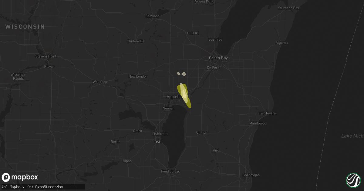
Hail Map in Kimberly, WI on July 29, 2014
Get this storm
July 29 map
$229
one time, instant access
Download today. No call, no setup
Keep the $229
Bought the map and want the full workflow? Apply the entire $229 to a subscription within 7 days. None of it is wasted.
Every map, not just this one
This buys you this map. Subscription and you get every map we run, in the markets you choose from a few cities to whole states to nationwide. Plus real-time alerts the moment a storm fires.
Contact data
Name, contact info, occupancy, even credit band for addresses in the footprint. You go from where it hit to who to call.
Become the source they trust
Unlimited branding weather history reports on demand. You already have the documented answer ready for the property owner, and you are the one who showed up with it.
Property data and RoofTrace estimates
Pull up any address you have got, its value and the exact code rules for that jurisdiction, straight from One Click Code. Then RoofTrace estimates the squares, pitch, and roof value, priced the way you price.
Storm reports in Kimberly, WI
Kimberly, WI
| Date | Description |
|---|---|
| 07/29/20145:32 PM CDT | Hail at kimberly avenue in kimberly. Penny size hail started around 529 pm and continued as it increased to an inch in diameter. Traffic brought to a halt due to torren |
All States Impacted by Hail Map on July 29, 2014
All Cities Impacted by Hail Map on July 29, 2014
- Hanksville, UT
- Corona, NM
- Grenville, NM
- Eads, CO
- High Bridge, WI
- Mellen, WI
- Okeechobee, FL
- Lisco, NE
- Winters, TX
- Wellington, CO
- Windsor, CO
- Appleton, WI
- Combined Locks, WI
- Kaukauna, WI
- Little Chute, WI
- Kimberly, WI
- Chemult, OR
- Egnar, CO
- Huntington, UT
- Blanding, UT
- Mountain Home, ID
- Norton, TX
- Wingate, TX
- Hereford, TX
- Estancia, NM
- Seymour, WI
- Houston, TX
- Monticello, UT
- Chiloquin, OR
- Las Cruces, NM
- Oshkosh, NE
- Hugo, CO
- Arriba, CO
- Walsenburg, CO
- Livermore, CO
- Vernal, UT
- Ashland, WI
- Kenmare, ND
- Park Falls, WI
- Butternut, WI
- Fort Collins, CO
- Loveland, CO
- Hebron, ND
- Kenton, OK
- Encino, NM
- Pompano Beach, FL
- Moriarty, NM
- Angleton, TX
- Lake Jackson, TX
- Brazoria, TX
- Pritchett, CO
- Platteville, CO
- Belen, NM
- Paisley, FL
- Cedar Valley, UT
- Abilene, TX
- Kissimmee, FL
- Sherwood, WI
- Menasha, WI
- Isabella, MN
- Two Harbors, MN


