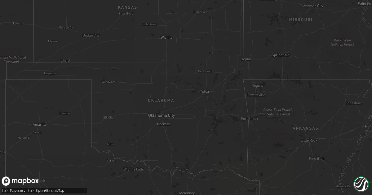
Hail Map on July 28, 2013
Get this storm
July 28 map
$229
one time, instant access
Download today. No call, no setup
Keep the $229
Bought the map and want the full workflow? Apply the entire $229 to a subscription within 7 days. None of it is wasted.
Every map, not just this one
This buys you this map. Subscription and you get every map we run, in the markets you choose from a few cities to whole states to nationwide. Plus real-time alerts the moment a storm fires.
Contact data
Name, contact info, occupancy, even credit band for addresses in the footprint. You go from where it hit to who to call.
Become the source they trust
Unlimited branding weather history reports on demand. You already have the documented answer ready for the property owner, and you are the one who showed up with it.
Property data and RoofTrace estimates
Pull up any address you have got, its value and the exact code rules for that jurisdiction, straight from One Click Code. Then RoofTrace estimates the squares, pitch, and roof value, priced the way you price.
States Impacted by Hail Map on July 28, 2013
Storm reports
North Carolina
| Date | Description |
|---|---|
| 07/28/20134:30 PM CDT | Numerous trees down with power outage. Trees and tree limbs litter about a 1 mile stretch of hamptonville road. Dime size hail covered the ground and damaged crops. Lea |
| 07/28/20133:25 PM CDT | Public report of at least 2 trees down on rollins road. Rained so hard the person was not sure if hail was in the storm. |
| 07/27/201310:05 PM CDT | Trees and powerlines down at the intersection of pagetown road and altamahaw union ridge road. Time estimated by radar. |
| 07/27/20139:50 PM CDT | Tree down near the intersection of hinshaw town rd and nc42 |
| 07/27/20139:45 PM CDT | Tree down near the intersection of iron mountain rd and nc42. |
| 07/27/20139:37 PM CDT | One tree down across tot hill farm road. |
| 07/27/20139:30 PM CDT | Tree blown down onto a house...trapping resident inside. No injuries. |
| 07/27/20139:10 PM CDT | Tree down on checkmark road near charles mountain road. |
Virginia
| Date | Description |
|---|---|
| 07/28/201312:36 AM CDT | Numerous tree limbs damaged. Also a trellis damaged on the property in the 12600 block of orange plank road. |
| 07/27/20139:35 PM CDT | Tree fell blocking roadway of route 29 in southern nelson county |
Pennsylvania
| Date | Description |
|---|---|
| 07/28/201310:23 AM CDT | Trees down across sr-706 |
| 07/28/20139:27 AM CDT | Trees down in vicinity of laporte. |
| 07/28/20139:27 AM CDT | Trees down in forks twp. |
| 07/28/20139:08 AM CDT | Trees down in hillsgrove twp. |
| 07/28/20138:32 AM CDT | Tree down on an abandoned structure in loyalsock twp. |
| 07/27/201310:20 PM CDT | Trees reported down on three properties near delta. |
Delaware
| Date | Description |
|---|---|
| 07/28/20131:15 PM CDT | Trees and wires down |
Nevada
| Date | Description |
|---|---|
| 07/28/20136:37 PM CDT | Spotter in pahrump nv reports wind gust of 59 mph. However no damage from gust has been reported. |
| 07/28/20132:25 AM CDT | Trained spotter reported damage to his vehicle when he opened the door and the winds forced the door from his hand which bent the hinge. Winds were estimated to be arou |
| 07/27/201310:18 PM CDT | Boulder city police dispatch reports two trees knocked down from strong winds. Outflow winds from thunderstorms north of las vegas. |
| 07/27/20139:43 PM CDT | A local report indicates 63 MPH wind near 1 ESE LAS VEGAS NELLIS |
| 07/27/20139:30 PM CDT | Trained spotter reported a 20 foot tall palm tree has blown down across centennial hills drive in northwest las vegas. |
| 07/27/20137:51 PM CDT | Spotter in panaca estimates a mix of pea to quarter size hail fell. |
New Jersey
| Date | Description |
|---|---|
| 07/28/20133:16 PM CDT | 8 to 9 trees blown down. |
Maryland
| Date | Description |
|---|---|
| 07/28/20137:28 AM CDT | Numerous trees down. Some uprooted and some topped. |
| 07/28/201312:50 AM CDT | Tree down on flintville rd...one-quarter mile north of broad creek bridge. |
| 07/27/201311:20 PM CDT | Trees down in northern part of county |
| 07/27/201310:54 PM CDT | Tree down on flintville road blocking the road |
| 07/27/201310:50 PM CDT | Tree down on flintville rd...one-quarter mile north of broad creek bridge. |
| 07/27/201310:38 PM CDT | Trees down on ridge road |
| 07/27/201310:34 PM CDT | 1 tree down and wires down on route 543 within 1 mile of 165 |
| 07/27/201310:34 PM CDT | Tree down across road 1400 block of boggs road |
| 07/27/201310:34 PM CDT | Multiple trees down 1500 block of ridge road |
| 07/27/201310:06 PM CDT | Pole broken with wires down in 2900 block of bradenbaugh road |
| 07/27/201310:00 PM CDT | Tree down across road 2900 block of duncan road |
| 07/27/20139:20 PM CDT | A local report indicates 63 MPH wind near 2 N WESTMINSTER |
| 07/27/20139:13 PM CDT | Several trees down along rt 97 between stone rd and bachmans valley rd |
| 07/27/20139:10 PM CDT | Several trees down along rt 97 between stone rd and bachmans valley rd |
| 07/27/20139:05 PM CDT | 3 pear trees snapped off |
Texas
| Date | Description |
|---|---|
| 07/28/20136:30 PM CDT | A local report indicates 68 MPH wind near PINE SPRINGS |
Montana
| Date | Description |
|---|---|
| 07/27/201311:09 PM CDT | A local report indicates 62 MPH wind near GALATA |
| 07/27/201310:43 PM CDT | A local report indicates 59 MPH wind near 1 SSW RUDYARD |
| 07/27/20139:00 PM CDT | Quarter size hail transitioned to pea size hail and accumulated to a foot deep near buildings...60 mph wind gust measured 80 ft agl |
| 07/27/20138:14 PM CDT | A local report indicates 59 MPH wind near 13 N CHESTER |
Idaho
| Date | Description |
|---|---|
| 07/28/201312:54 PM CDT | 58 mph wind gusts in moberg cannon |
Cities Impacted by Hail Map on July 28, 2013
- Duchesne, UT
- Chinook, MT
- Newcastle, WY
- Dolan Springs, AZ
- Shelby, MT
- Malta, ID
- Terreton, ID
- Hamer, ID
- Lodge Grass, MT
- Billings, MT
- Lewistown, MT
- Denton, MT
- Colora, MD
- Rising Sun, MD
- Oxford, PA
- North East, MD
- Elkton, MD
- Nottingham, PA
- Amargosa Valley, NV
- Boulder, MT
- Jefferson City, MT
- Orlando, FL
- Casper, WY
- Death Valley, CA
- Lance Creek, WY
- Las Vegas, NV
- Amherst, VA
- Arrington, VA
- Panaca, NV
- Arimo, ID
- Mccammon, ID
- Hays, MT
- Okeechobee, FL
- Box Elder, MT
- North Wilkesboro, NC
- Union Grove, NC
- Kremlin, MT
- Malta, MT
- Winter Park, FL
- Jordan, MT
- Williams, AZ
- Supai, AZ
- Wilmington, DE
- Newark, DE
- Alamo, NV
- Kingman, AZ
- Grouse Creek, UT
- Elmer, NJ
- Wilsall, MT
- Weston, WY
- Ledger, MT
- Bridgeton, NJ
- Summit Hill, PA
- Nesquehoning, PA
- Socorro, NM
- Trenton, FL
- Joplin, MT
- Loring, MT
- Newton, NJ
- Columbia, NJ
- Havre, MT
- Howe, ID
- Moore Haven, FL
- Bellevue, ID
- Sedley, VA
- Courtland, VA
- Ivor, VA
- Wakefield, VA
- Yucca, AZ
- Belt, MT
- Geyser, MT
- Nipton, CA
- New Castle, DE
- Maitland, FL
- Dodson, MT
- Lloyd, MT
- Blackstone, VA
- Hamptonville, NC
- Clifton, ID
- Rawlings, VA
- Alberta, VA
- Hertford, NC
- Palm Coast, FL
- Vernon, UT
- Davenport, FL
- Landenberg, PA
- Hockessin, DE
- Beryl, UT
- Raynesford, MT
- Hurricane, UT
- Pahrump, NV
- Winter Springs, FL
- Oviedo, FL
- Egg Harbor City, NJ
- Peach Springs, AZ
- Chester, MT
- Mims, FL
- Gildford, MT
- Port Orange, FL
- Chatsworth, NJ
- Leesburg, FL
- Okahumpka, FL
- Century, FL
- Belgrade, MT
- Kaycee, WY
- Brooksville, FL
- Three Forks, MT
- Fruitland Park, FL
- New Smyrna Beach, FL
- Hilger, MT
- Ocala, FL
- Dunnellon, FL
- Groveland, FL
- Farnham, VA
- Geneva, FL
- Preston, ID
- Newport, NJ