Hail Map in North Carolina on July 16, 2013
Get this storm
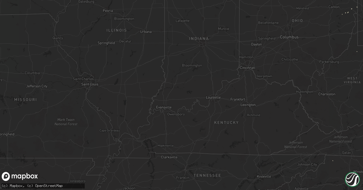
July 16 map
$229
one time, instant access
Download today. No call, no setup
Keep the $229
Bought the map and want the full workflow? Apply the entire $229 to a subscription within 7 days. None of it is wasted.
Every map, not just this one
This buys you this map. Subscription and you get every map we run, in the markets you choose from a few cities to whole states to nationwide. Plus real-time alerts the moment a storm fires.
Contact data
Name, contact info, occupancy, even credit band for addresses in the footprint. You go from where it hit to who to call.
Become the source they trust
Unlimited branding weather history reports on demand. You already have the documented answer ready for the property owner, and you are the one who showed up with it.
Property data and RoofTrace estimates
Pull up any address you have got, its value and the exact code rules for that jurisdiction, straight from One Click Code. Then RoofTrace estimates the squares, pitch, and roof value, priced the way you price.
Storm reports in North Carolina
North Carolina
| Date | Description |
|---|---|
| 07/16/20135:54 PM CDT | Swimming pool blown several hundred feet into a cornfield. |
| 07/16/20134:24 AM CDT | Spotter reports numerous trees blown down in the mooresboro area...with some on structures and power lines. |
| 07/15/201311:30 PM CDT | Trees down on first street and erwin street. Lightning knocked out power to the entire town |
| 07/15/201311:04 PM CDT | Tree down across hwy 43 between faith-baptist church rd and davistown-mercer rd. Radar estimated time. |
| 07/15/20137:05 PM CDT | A large quantity of hail felll...some to the size of quarters. Large tree limb down in the yard. |
All States Impacted by Hail Map on July 16, 2013
Cities Impacted by Hail Map on July 16, 2013
- Oklahoma City, OK
- Verona, PA
- Pittsburgh, PA
- Farmville, VA
- Broadway, VA
- New Hill, NC
- Camden, NC
- Aurora, MO
- Seymour, MO
- Ava, MO
- Alma, AR
- Heber City, UT
- Boykins, VA
- Branchville, VA
- Apex, NC
- Glenshaw, PA
- Allison Park, PA
- Transfer, PA
- Ponce De Leon, FL
- Margarettsville, NC
- Pendleton, NC
- Rougemont, NC
- Eighty Four, PA
- Independence, WV
- Morgantown, WV
- Drewryville, VA
- Dixie, GA
- Tionesta, PA
- Lickingville, PA
- Fryburg, PA
- Seney, MI
- Grand Marais, MI
- Manistique, MI
- Yale, VA
- Petersburg, VA
- Prince George, VA
- Disputanta, VA
- Fort Lee, VA
- Lisbon, OH
- Live Oak, FL
- Waverly, VA
- Holly Springs, NC
- Newsoms, VA
- Greensboro, PA
- Dilliner, PA
- Point Marion, PA
- Cloverdale, VA
- Daleville, VA
- Troutville, VA
- Salem, VA
- Roanoke, VA
- Colonial Heights, VA
- Harman, WV
- Weldon, NC
- Halifax, NC
- Roanoke Rapids, NC
- Carson, VA
- Tarboro, NC
- Newberry, MI
- Eagle Rock, VA
- Cameron, OK
- Surrency, GA
- Dyer, AR
- Mulberry, AR
- Almira, WA
- Hartline, WA
- Belvidere, NC
- Ochlocknee, GA
- Meigs, GA
- Adel, GA
- Statesboro, GA
- Wilson Creek, WA
- Munising, MI
- Woodland, NC
- Capron, VA
- Conway, NC
- Homestead, PA
- West Mifflin, PA
- Jamesville, NC
- Register, GA
- Buchanan, VA
- Fincastle, VA
- Moultrie, GA
- Ironside, OR
- Smithfield, WV
- Reeds Spring, MO
- Glen Allen, VA
- Lumberton, NC
- Powhatan, VA
- Colfax, WA
- Rocky Mount, NC
- Negley, OH
- Gibsonia, PA
- Wexford, PA
- Warrendale, PA
- Mars, PA
- Bradfordwoods, PA
- Cranberry Township, PA
- Baden, PA
- Brooklet, GA
- Salineville, OH
- Mechanicstown, OH
- Yukon, OK
- Bethany, OK
- Norman Park, GA
- Howe, OK
- Midlothian, VA
- Chesterfield, VA
- Pearson, GA
- Pinetops, NC
- Hardy, VA
- Whitakers, NC
- Battleboro, NC
- Rich Square, NC
- Rowlesburg, WV
- Branson, MO
- Kirbyville, MO
- Henrico, VA
- Leeper, PA
- Lucinda, PA
- Covington, VA
- Carrollton, OH
- Elm City, NC
- Macclesfield, NC
- Elizabeth City, NC
- Pembroke, NC
- Wirtz, VA
- Rocky Mount, VA
- Hot Springs, VA
- Como, NC
- Murfreesboro, NC
- Perry, FL
- Lamont, FL
- Dawson, PA
- Craigsville, VA
- Reedsville, WV
- Butner, NC
- Bahama, NC
- Fremont, WI
- Hortonville, WI
- Prairie Grove, AR
- Gaston, NC
- Hertford, NC
- Fairmont, WV
- Grafton, WV
- Peru, KS
- Jefferson, NC
- Rochester, PA
- New Brighton, PA
- Quitman, GA
- Windsor, NC
- Selma, VA


