Hail Map in Mississippi on July 14, 2013
Get this storm
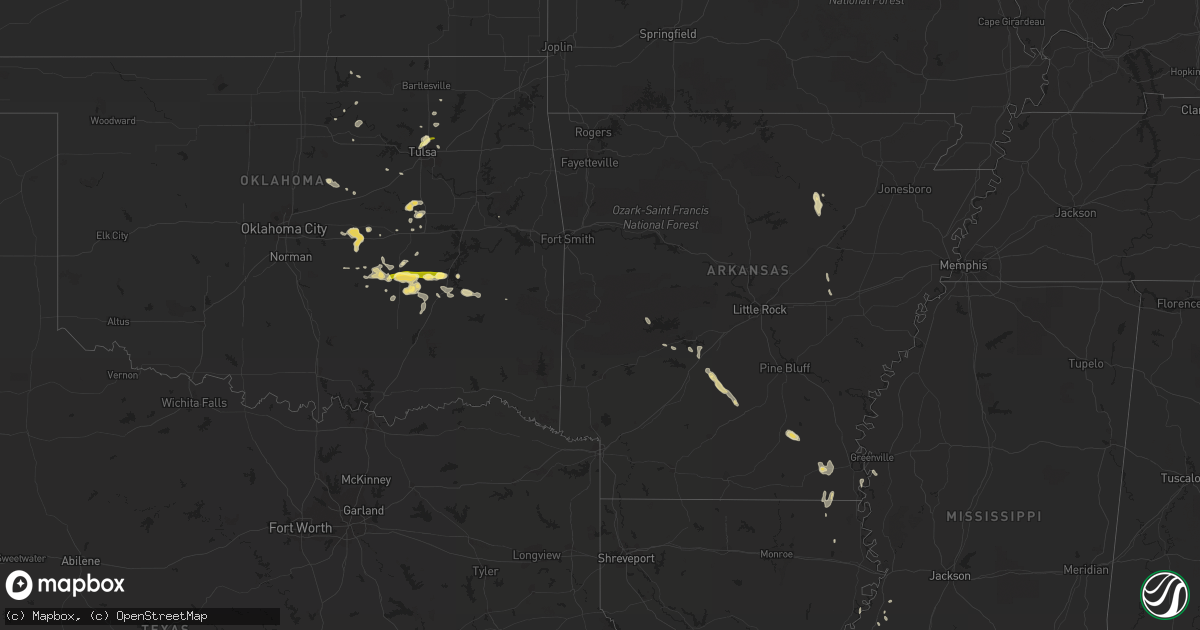
July 14 map
$229
one time, instant access
Download today. No call, no setup
Keep the $229
Bought the map and want the full workflow? Apply the entire $229 to a subscription within 7 days. None of it is wasted.
Every map, not just this one
This buys you this map. Subscription and you get every map we run, in the markets you choose from a few cities to whole states to nationwide. Plus real-time alerts the moment a storm fires.
Contact data
Name, contact info, occupancy, even credit band for addresses in the footprint. You go from where it hit to who to call.
Become the source they trust
Unlimited branding weather history reports on demand. You already have the documented answer ready for the property owner, and you are the one who showed up with it.
Property data and RoofTrace estimates
Pull up any address you have got, its value and the exact code rules for that jurisdiction, straight from One Click Code. Then RoofTrace estimates the squares, pitch, and roof value, priced the way you price.
Storm reports in Mississippi
Mississippi
| Date | Description |
|---|---|
| 07/14/20135:22 PM CDT | Tree down |
| 07/14/20135:22 PM CDT | 3 trees downed. Reported at the hinds county penal farm |
| 07/14/20135:15 PM CDT | Trees down between edwards and learned. |
| 07/14/20134:55 PM CDT | Tree down across a learned road |
| 07/14/20134:06 PM CDT | Tree down along hwy 28 |
| 07/14/20133:35 PM CDT | Trees were downed along pine grove road |
All States Impacted by Hail Map on July 14, 2013
Cities Impacted by Hail Map on July 14, 2013
- Okemah, OK
- Wilmar, AR
- Maud, OK
- Allen, OK
- Calvin, OK
- Tulsa, OK
- Sperry, OK
- Batesville, AR
- Wister, OK
- Earlsboro, OK
- Seminole, OK
- Shawnee, OK
- Prague, OK
- Amite, LA
- Kentwood, LA
- Des Arc, AR
- Griffithville, AR
- Sasakwa, OK
- Okmulgee, OK
- Mcalester, OK
- Lamar, OK
- Stuart, OK
- Wardville, OK
- Holdenville, OK
- Atwood, OK
- Desha, AR
- Floral, AR
- Pleasant Plains, AR
- Monticello, AR
- Warren, AR
- Beggs, OK
- Owasso, OK
- Indianola, OK
- Gibson, LA
- Berwick, LA
- Jonesville, LA
- Leola, AR
- Parkdale, AR
- Wilmot, AR
- Jeanerette, LA
- Saint Martinville, LA
- Plaquemine, LA
- Meeker, OK
- Hartshorne, OK
- Wilburton, OK
- Dustin, OK
- Paden, OK
- Fairfax, OK
- Kellyville, OK
- Sapulpa, OK
- Port Gibson, MS
- Lorman, MS
- Wallace, NE
- Krebs, OK
- Savanna, OK
- Bristow, OK
- Mannford, OK
- Tryon, OK
- Fordyce, AR
- Weleetka, OK
- Henryetta, OK
- Covington, LA
- Collinsville, OK
- Estancia, NM
- Elsie, NE
- Wauneta, NE
- Krotz Springs, LA
- Nowata, OK
- Eudora, AR
- Greenville, MS
- Wetumka, OK
- Carthage, AR
- Catoosa, OK
- Kanorado, KS
- Shiner, TX
- Carney, OK
- Perkins, OK
- Agra, OK
- Montrose, AR
- Breaux Bridge, LA
- Wewoka, OK
- Meeteetse, WY
- Bonnerdale, AR
- Woodville, MS
- Kaw City, OK
- Pawnee, OK
- Clermont, FL
- Portland, AR
- Ramona, OK
- Talala, OK
- Morgan City, LA
- Hot Springs National Park, AR
- Herndon, KS
- Jones, LA
- Selden, KS
- Yuma, CO
- Hollandale, MS
- McCall Creek, MS
- Malvern, AR
- Donaldson, AR
- Eagle Lake, TX
- Brookshire, TX
- Trenton, NE
- Stroud, OK
- Stratton, NE
- Oak Grove, LA
- Hermanville, MS
- Madrid, NE
- Newellton, LA
- Saint Joseph, LA
- Sims, AR
- Story, AR
- Pattison, MS
- Bogue Chitto, MS
- Smithdale, MS
- Magnolia, MS
- Skiatook, OK
- Culbertson, NE
- Picayune, MS
- Gore, OK
- Shidler, OK
- Palisade, NE
- Pearcy, AR
- Chiefland, FL
- Pioneer, LA


