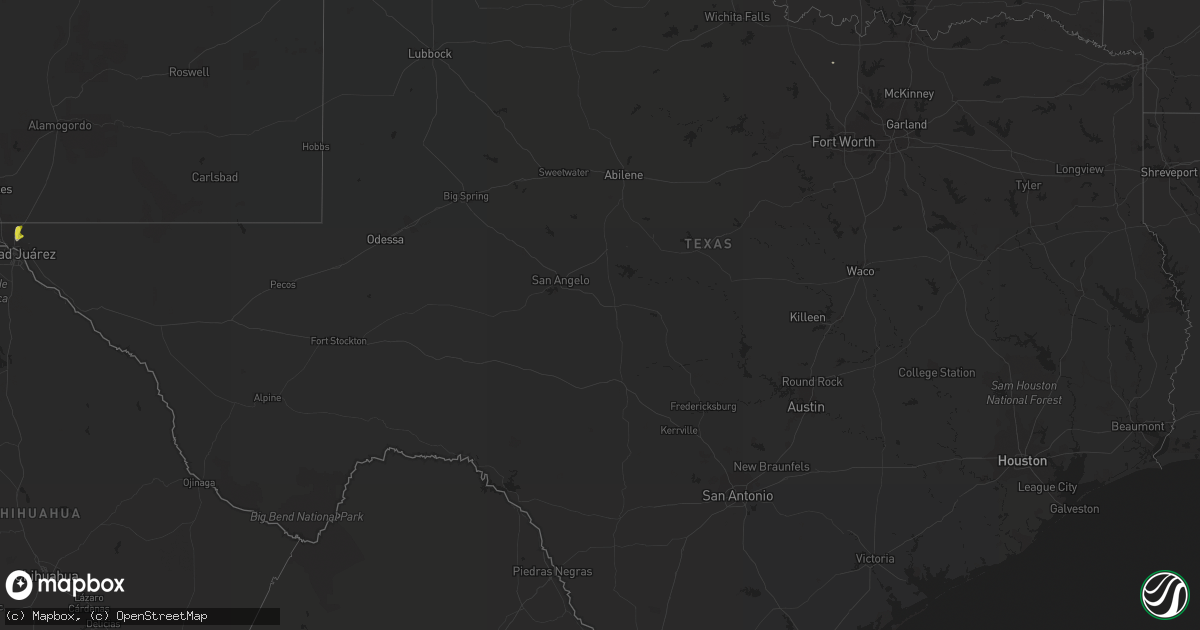
Hail Map in Texas on June 27, 2021
Get this storm
June 27 map
$229
one time, instant access
Download today. No call, no setup
Keep the $229
Bought the map and want the full workflow? Apply the entire $229 to a subscription within 7 days. None of it is wasted.
Every map, not just this one
This buys you this map. Subscription and you get every map we run, in the markets you choose from a few cities to whole states to nationwide. Plus real-time alerts the moment a storm fires.
Contact data
Name, contact info, occupancy, even credit band for addresses in the footprint. You go from where it hit to who to call.
Become the source they trust
Unlimited branding weather history reports on demand. You already have the documented answer ready for the property owner, and you are the one who showed up with it.
Property data and RoofTrace estimates
Pull up any address you have got, its value and the exact code rules for that jurisdiction, straight from One Click Code. Then RoofTrace estimates the squares, pitch, and roof value, priced the way you price.
Storm reports in Texas
Texas
| Date | Description |
|---|---|
| 06/27/20213:25 PM CDT | Spotter measures wind gust to 62 mph. 1/2 inch hail with thunderstorm. 1.03 inches of rainfall at the time of observation. |
| 06/27/202111:20 AM CDT | Two 12 kva poles snapped |
| 06/27/202111:20 AM CDT | Reports of power flashes |
| 06/27/20217:08 AM CDT | At 1207 AM CDT, severe thunderstorms were located along a line extending from 14 miles east of Chalk to 5 miles west of Truscott, moving northeast at 40 mph. HAZARD...60 mph wind gusts and quarter size hail. SOURCE...Radar indicated. IMPACT...Hail damage to vehicles is expected. Expect wind damage to roofs, siding, and trees. Locations impacted include... Crowell, Chillicothe, Margaret, Medicine Mound, Thalia, Truscott, Copper Breaks State Park and Rayland. |
| 06/26/20219:46 PM CDT | At 245 PM MDT, a severe thunderstorm was located near Fort Bliss, moving south at 10 mph. HAZARD...60 mph wind gusts and quarter size hail. SOURCE...Radar indicated. IMPACT...Hail damage to vehicles is expected. Expect wind damage to roofs, siding, and trees. Locations impacted include... Central El Paso, East El Paso, Northeast El Paso, Far East El Paso, Mission Valley, Horizon City, Fort Bliss, Socorro, Sparks, Biggs Field and Fort Bliss Northeast.This includes Interstate 10 in Texas between mile markers 20 and 36. Heavy rains will result in street flooding within the warning area, as well as blowing dust due to strong winds. |
| 06/26/20218:59 PM CDT | At 159 PM MDT, a severe thunderstorm was located near Northeast El Paso, moving east at 15 mph. HAZARD...Ping pong ball size hail and 60 mph wind gusts. SOURCE...Radar indicated. IMPACT...People and animals outdoors will be injured. Expect hail damage to roofs, siding, windows, and vehicles. Expect wind damage to roofs, siding, and trees. Locations impacted include... Northeast El Paso, East El Paso, Far East El Paso, Homestead Meadows, Montana Vista, Biggs Field and Fort Bliss Northeast. |


