Hail Map in Texas on June 8, 2013
Get this storm
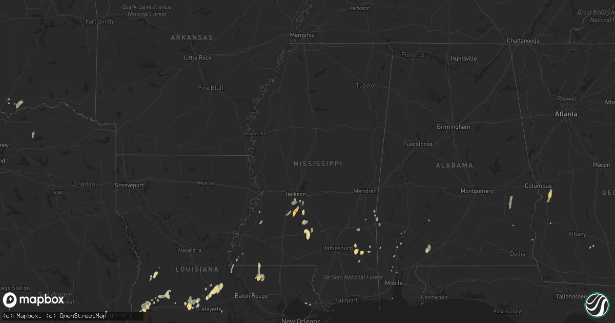
June 8 map
$229
one time, instant access
Download today. No call, no setup
Keep the $229
Bought the map and want the full workflow? Apply the entire $229 to a subscription within 7 days. None of it is wasted.
Every map, not just this one
This buys you this map. Subscription and you get every map we run, in the markets you choose from a few cities to whole states to nationwide. Plus real-time alerts the moment a storm fires.
Contact data
Name, contact info, occupancy, even credit band for addresses in the footprint. You go from where it hit to who to call.
Become the source they trust
Unlimited branding weather history reports on demand. You already have the documented answer ready for the property owner, and you are the one who showed up with it.
Property data and RoofTrace estimates
Pull up any address you have got, its value and the exact code rules for that jurisdiction, straight from One Click Code. Then RoofTrace estimates the squares, pitch, and roof value, priced the way you price.
Storm reports in Texas
Texas
| Date | Description |
|---|---|
| 06/08/20136:00 PM CDT | Spotter reported golf ball sized hail lasted about 5 minutes. |
| 06/08/20136:00 PM CDT | Hail report relayed through nssl shave project. Hail lasted for 15 minutes. |
| 06/08/20135:55 PM CDT | Hail report relayed through nssl shave project. |
| 06/08/20135:54 PM CDT | Orange grove nolf asos recorded a gust to 57 knots. |
| 06/08/20132:40 AM CDT | Power lines down on hwy 277 in hawley. |
| 06/08/20132:17 AM CDT | Power lines down in lueders. |
| 06/08/20131:41 AM CDT | A local report indicates 60 MPH wind near 11 E WEINERT |
| 06/08/20131:41 AM CDT | Large grain bin door blown off. |
| 06/08/201312:45 AM CDT | Ping pong ball to golf ball size hail |
| 06/07/201311:55 PM CDT | A local report indicates 63 MPH wind near 3 W GOODLETT |
| 06/07/201311:45 PM CDT | A local report indicates 1.00 inch wind near 2 E PAMPA |
| 06/07/201311:40 PM CDT | A local report indicates 1.00 inch wind near 2 ESE PAMPA |
| 06/07/201310:50 PM CDT | Cotton module truck rolled over |
| 06/07/201310:10 PM CDT | Several large tree limbs...up to 12 inches in diameter...down at the school on 5th street. |
| 06/07/201310:05 PM CDT | Time is estimated. |
| 06/07/20139:40 PM CDT | A local report indicates 60 MPH wind near 10 E BRISCOE |
| 06/07/20139:38 PM CDT | A local report indicates 1.00 inch wind near 19 N AMARILLO |
| 06/07/20139:19 PM CDT | A local report indicates 1.00 inch wind near FRITCH |
| 06/07/20138:55 PM CDT | A local report indicates 59 MPH wind near 2 SW CANADIAN |
| 06/07/20138:49 PM CDT | A local report indicates 70 MPH wind near 5 WSW GLAZIER |
| 06/07/20138:24 PM CDT | A local report indicates 1.50 inch wind near 6 S SUNRAY |
| 06/07/20138:18 PM CDT | A local report indicates 1.75 inch wind near SUNRAY |
| 06/07/20138:15 PM CDT | Barn roof blown off and sprinkler system blown over...time estimated from radar |
| 06/07/20138:00 PM CDT | A local report indicates 1.00 inch wind near 1 W BOOKER |
All States Impacted by Hail Map on June 8, 2013
Cities Impacted by Hail Map on June 8, 2013
- Montezuma, KS
- Winter Garden, FL
- Ocoee, FL
- Ellis, KS
- Hays, KS
- Pampa, TX
- Tivoli, TX
- Follett, TX
- Darrouzett, TX
- Booker, TX
- Bazine, KS
- Burdett, KS
- Alexander, KS
- Ness City, KS
- Dumas, TX
- Sunray, TX
- Asherton, TX
- Louisville, AL
- Morse, LA
- Estherwood, LA
- Iota, LA
- Crowley, LA
- Egan, LA
- Silver Creek, MS
- Oak Vale, MS
- Prentiss, MS
- Alice, TX
- Port Barre, LA
- Arnaudville, LA
- Opelousas, LA
- Washington, LA
- Plainville, KS
- Natoma, KS
- Canadian, TX
- Sunset, LA
- Melville, LA
- Krotz Springs, LA
- Buffalo, OK
- La Crosse, KS
- Cotulla, TX
- McCracken, KS
- Brownell, KS
- Gruver, TX
- Spearman, TX
- Clovis, NM
- Fowler, KS
- Minneola, KS
- Haviland, KS
- Lewis, KS
- Ford, KS
- Forgan, OK
- Beaver, OK
- Crystal Springs, MS
- Premont, TX
- Orange Grove, TX
- Sandia, TX
- Spearville, KS
- Offerle, KS
- Chunchula, AL
- Larned, KS
- Deridder, LA
- Liberal, KS
- Kismet, KS
- Turpin, OK
- Sweeny, TX
- Panhandle, TX
- Sulphur, LA
- Braxton, MS
- Richton, MS
- Beaumont, MS
- Dodge City, KS
- Balko, OK
- Matador, TX
- Georgetown, MS
- Harrisville, MS
- Florence, MS
- Dalhart, TX
- Miami, TX
- Higgins, TX
- Lipscomb, TX
- Perryton, TX
- Laverne, OK
- Plains, KS
- Hardesty, OK
- Kress, TX
- Lockney, TX
- Mullinville, KS
- Wheeler, TX
- Rosston, OK
- Amarillo, TX
- Beaumont, TX
- Van Vleck, TX
- Slaughter, LA
- Clinton, LA
- Cusseta, GA
- Angleton, TX
- Robert Lee, TX
- Blackwell, TX
- Maryneal, TX
- Orlando, FL
- Hanston, KS
- Jetmore, KS
- Briscoe, TX
- Morse, TX
- Satanta, KS
- Osborne, KS
- Newhebron, MS
- Mendenhall, MS
- Pinola, MS
- Branch, LA
- Masterson, TX
- Grady, NM
- Borger, TX
- Laredo, TX
- Doerun, GA
- Leakesville, MS
- Neely, MS
- Chappell Hill, TX
- Littlefield, TX
- Mobeetie, TX
- Rushville, NE
- Russell, KS
- Encino, TX
- El Campo, TX
- Lake Charles, LA
- Tipton, KS
- Fruitdale, AL
- Pitkin, LA
- Cooper, TX
- Klondike, TX
- Pecan Gap, TX
- Rayne, LA
- Happy, TX
- Tulia, TX
- Bucklin, KS
- Meade, KS
- Roxton, TX
- Creswell, NC
- Norwood, LA
- Freer, TX
- Tilden, TX
- Wellington, TX
- Mcalister, NM
- San Jon, NM
- Saraland, AL
- Encinal, TX
- Welsh, LA
- Amherst, TX
- Olton, TX
- Springlake, TX
- Anton, TX
- Fieldton, TX
- Bokchito, OK
- Goodwell, OK
- Woodville, MS
- Shorterville, AL
- Abbeville, AL
- Slidell, LA
- Bison, KS
- McLain, MS
- Fritch, TX
- Stinnett, TX
- Stratford, TX
- Louise, TX
- Atmore, AL
- Brewton, AL
- George West, TX
- Wagarville, AL
- Jackson, MS
- Byram, MS
- Terry, MS
- Gorham, KS
- Ashland, KS
- Lake Helen, FL
- Deltona, FL
- Cimarron, KS
- Kinsley, KS
- Wright, KS
- Englewood, KS
- Palmetto, LA
- Arnett, OK
- San Perlita, TX
- Raymondville, TX
- Shamrock, TX
- Reeves, LA
- Kinder, LA
- Whitsett, TX
- Three Rivers, TX
- Gate, OK
- Ragley, LA
- Quitman, MS
- Hartley, TX
- Pearl, MS
- Pawnee Rock, KS
- Rosharon, TX
- Apopka, FL
- Centreville, MS
- Waldo, KS
- Westlake, LA
- Cuthbert, GA
- Walker, KS
- Victoria, KS
- Durant, OK
- Melrose, FL
- Keystone Heights, FL
- Creola, AL
- Bennington, OK
- Vinton, LA
- Claude, TX
- Windermere, FL
- Brookshire, TX
- Fulshear, TX
- Waynesboro, MS
- Brenham, TX
- Logan, NM
- Mosquero, NM
- Port Gibson, MS
- Midway, AL
- Union Springs, AL
- Pfeifer, KS
- Eagle Lake, TX
- Great Bend, KS
- Shattuck, OK
- Frisco City, AL
- Repton, AL
- Saint Francisville, LA
- Batchelor, LA
- Riviera, TX
- Lacombe, LA
- Richland, GA
- Galena Park, TX
- Hunter, KS
- Denison, TX
- Pottsboro, TX
- Rosenberg, TX
- Ellsworth, KS
- Lincoln, KS
- Wilson, KS
- Church Point, LA
- Greenwell Springs, LA
- Hugoton, KS
- Woodward, OK
- Vredenburgh, AL
- Coden, AL
- Roscoe, TX
- Melrose, NM
- Saint Martinville, LA
- Greensburg, KS
- Winter Park, FL
- Hazlehurst, MS
- State Line, MS
- Jackson, AL
- Madill, OK
- Kingston, OK
- Grove Hill, AL
- Shubuta, MS
- Barnard, KS
- Armstrong, TX
- Lorman, MS
- McIntosh, AL
- Hawthorne, FL
- Robstown, TX
- Richmond, TX
- Hoisington, KS
- Deland, FL
- Evangeline, LA
- Clermont, FL
- Eunice, LA
- Williamston, NC
- Jamesville, NC
- Washington, NC
- Garwood, TX
- Gilbertown, AL
- Silas, AL
- Millry, AL
- Groveland, FL


