Hail Map on May 31, 2025
Get this storm
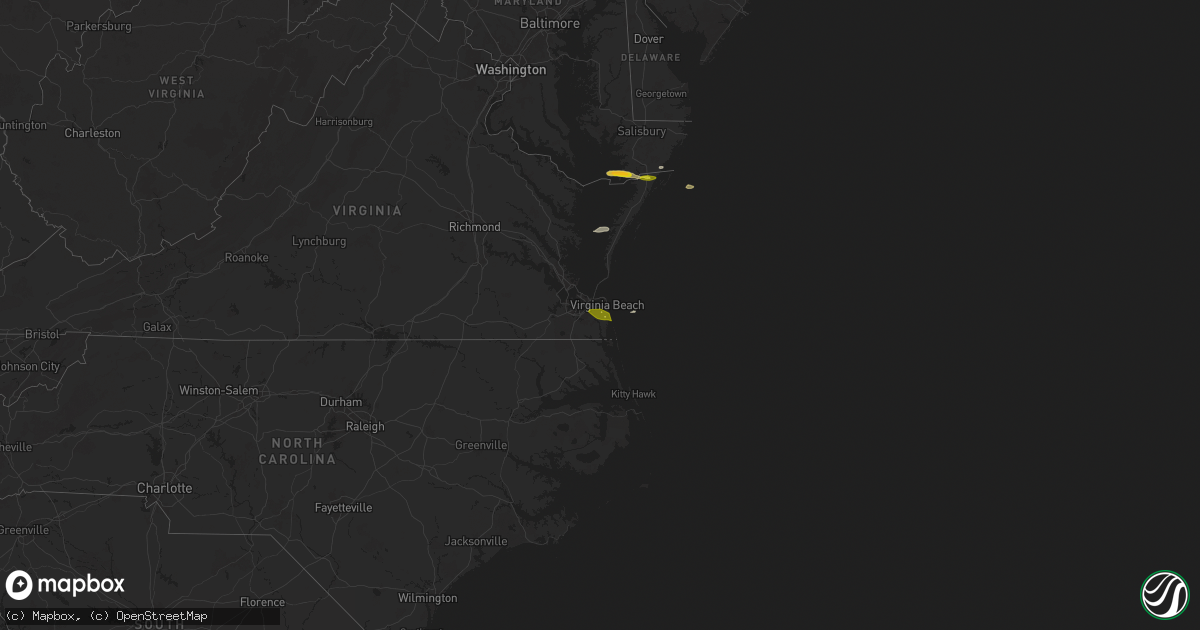
May 31 map
$229
one time, instant access
Download today. No call, no setup
Keep the $229
Bought the map and want the full workflow? Apply the entire $229 to a subscription within 7 days. None of it is wasted.
Every map, not just this one
This buys you this map. Subscription and you get every map we run, in the markets you choose from a few cities to whole states to nationwide. Plus real-time alerts the moment a storm fires.
Contact data
Name, contact info, occupancy, even credit band for addresses in the footprint. You go from where it hit to who to call.
Become the source they trust
Unlimited branding weather history reports on demand. You already have the documented answer ready for the property owner, and you are the one who showed up with it.
Property data and RoofTrace estimates
Pull up any address you have got, its value and the exact code rules for that jurisdiction, straight from One Click Code. Then RoofTrace estimates the squares, pitch, and roof value, priced the way you price.
States Impacted by Hail Map on May 31, 2025
Storm reports
Maryland
| Date | Description |
|---|---|
| 05/31/20253:00 PM CDT | Time is radar estimated. |
| 05/31/20252:48 PM CDT | Estimated quarter size hail just east of crisfield. |
| 05/31/20252:27 PM CDT | Trees blew down on md-2 solomons island road at forest drive. |
| 05/31/20252:20 PM CDT | A local report indicates 1.00 inch wind near 1 NNE Berlin |
| 05/31/20252:18 PM CDT | Trees and wires blew down near the intersection of md-450 defense highway near md-3 crain highway. |
| 05/31/20252:17 PM CDT | Trees blew down on southbound md-197 collington road at tulip grove drive. |
| 05/31/20251:41 PM CDT | Trees blew down onto southbound i-270 past exit 1/md-187 old georgetown road... Including one onto a car. |
| 05/31/20251:41 PM CDT | Trees blew down onto southbound i-270 past exit 1/md-187 old georgetown road. |
| 05/31/20251:37 PM CDT | Trees blew down on westbound md-190 river road blocking all lanes between wilson lane and nevis road/beech tree road. |
| 05/31/20251:37 PM CDT | Trees blew down on westb |
| 05/31/202512:57 PM CDT | Trees down reported in federalsburg. Time estimated from radar. |
| 05/31/202512:52 PM CDT | Trees down around denton. Time estimated from radar. |
| 05/31/202512:31 PM CDT | Trees blew down on jewel road near cavalier drive. |
| 05/31/202512:29 PM CDT | Trees blew down onto power lines causing a fire and power outages near the intersection of md-260 west chesapeake beach road and perrywood lane. |
| 05/31/202512:25 PM CDT | Trees blew down on md-382 croom road at croom station road. |
| 05/31/202512:24 PM CDT | Trees down reported in saint michaels. Time estimated from radar. |
Delaware
| Date | Description |
|---|---|
| 05/31/20251:29 PM CDT | Reports of wires down on pine ln. Time estimated from radar. |
| 05/31/20251:26 PM CDT | Trees and wires down around laurel. Time estimated from radar. |
| 05/31/20251:26 PM CDT | Reported tree onto wires. Time estimated from radar. |
| 05/31/20251:14 PM CDT | Multiple reports of trees and wires down around felton. Time estimated from radar. |
Massachusetts
| Date | Description |
|---|---|
| 05/31/202512:34 PM CDT | Tree down on power lines on bay road relayed by amateur radio. |
Colorado
| Date | Description |
|---|---|
| 05/30/20259:47 PM CDT | Awos station ktad trinidad airport. |
California
| Date | Description |
|---|---|
| 05/30/20258:27 PM CDT | Peak outflow gust at mesonet station xmlc1 mill canyon. |
North Carolina
| Date | Description |
|---|---|
| 05/31/20256:25 PM CDT | Craven co 911 center relays report of tree down near mile marker 403 on nc70. Time estimated by radar. |
| 05/31/20256:14 PM CDT | Craven 911 center relays report of large tree down near the eastern intersection of nc55 and biddle rd. |
| 05/31/20255:03 PM CDT | Several trees reported down. |
| 05/31/20254:54 PM CDT | Trees down on power lines near nc 96 and branch chapel church rd... Resulting in power outages. |
| 05/31/20254:51 PM CDT | One tree reported down. |
| 05/31/20254:50 PM CDT | Tree down near the intersection of pagan farm rd and holland church rd. Another tree was reported down along optimist farm road. |
| 05/31/20254:37 PM CDT | One tree reported down. |
| 05/31/20254:35 PM CDT | Trees down resulting in power outages on jones sausage rd near i-40. |
Nebraska
| Date | Description |
|---|---|
| 05/31/20255:45 PM CDT | Report via social media of quarter-size hail without phot |
| 05/31/20255:45 PM CDT | Report via social media of quarter-size hail without photo. |
Oklahoma
| Date | Description |
|---|---|
| 05/31/20252:32 AM CDT | A local report indicates 1.00 inch wind near Guthrie |
| 05/30/202511:14 PM CDT | Multiple reports of powerlines down on the south side of wakita. |
| 05/30/202511:14 PM CDT | Multiple repor |
District of Columbia
| Date | Description |
|---|---|
| 05/31/20251:45 PM CDT | Several trees blew down near columbia heights. |
| 05/31/20251:45 PM CDT | At least a half dozen trees blew down in northwest dc. |
Virginia
| Date | Description |
|---|---|
| 05/31/20253:40 PM CDT | Quarter-sized hail at gas station on us-13 at chincoteague road. Time radar-estimated. |
| 05/31/20253:20 PM CDT | Hail damage reported in northern accomack. Time estimated. |
| 05/31/20251:37 PM CDT | Trees blew down blocking northbound i-495 capital beltway inner loop just before the american legion bridge... Blocking the right lane. |
| 05/31/20251:36 PM CDT | Tree down on the inner loop of the capital beltway... Just before the american legion bridge. |
| 05/31/20251:32 PM CDT | Several large trees blew down onto cars in great falls park. |
Cities Impacted by Hail Map on May 31, 2025
- Marion Station, MD
- Crisfield, MD
- Pocomoke City, MD
- Stockton, MD
- Oak Hall, VA
- New Church, VA
- Withams, VA
- Wallops Island, VA
- Horntown, VA
- Chincoteague Island, VA
- Colon, NE
- Malmo, NE
- Wahoo, NE
- Weston, NE
- Ceresco, NE
- Yutan, NE
- Mead, NE
- Ithaca, NE
- Virginia Beach, VA
- Lake George, CO
- Waverly, NE
- Alvo, NE
- Divide, CO
- Fremont, NE
- Lincoln, NE
- Martell, NE
- Walton, NE
- Florissant, CO
- Syracuse, NE
- Firth, NE
- Adams, NE
- Colorado Springs, CO
- Peyton, CO
- Victor, CO
- Maricopa, CA
- Westcliffe, CO
- Cortland, NE
- Beatrice, NE
- Talmage, NE
- Wetmore, CO
- De Witt, NE
- Humboldt, NE
- Auburn, NE
- Johnson, NE
- Jansen, NE
- Pueblo, CO
- Malta Bend, MO
- Marshall, MO
- Atchison, KS
- Rushville, MO
- Avoca, NE
- Ponca City, OK
- Enid, OK
- Kremlin, OK
- Garber, OK
- Covington, OK
- Stillwater, OK
- Douglas, OK
- Fairmont, OK
- Waukomis, OK
- Chalmers, IN
- Wolcott, IN
- Lucien, OK
- Perkins, OK
- Brookston, IN
- Marshall, OK
- Hennessey, OK
- Crescent, OK
- Orlando, OK
- Guthrie, OK
- Mulhall, OK
- Aline, OK
- Waynoka, OK
- Chester, OK
- Woodward, OK
- Fairview, OK
- Chelsea, OK
- Perry, OK
- Arcadia, FL
- Ona, FL
- Coyle, OK
- Luther, OK
- Arcadia, OK
- Harrah, OK
- Choctaw, OK
- Jones, OK
- Newalla, OK
- Edmond, OK
- Meridian, OK
- Okeene, OK
- Moore Haven, FL
- Pauls Valley, OK
- Wynnewood, OK
- Elmore City, OK
- Sulphur, OK
- Davis, OK
- Springer, OK
- Ardmore, OK
- Dougherty, OK
- Berlin, MD