Hail Map on May 29, 2014
Get this storm
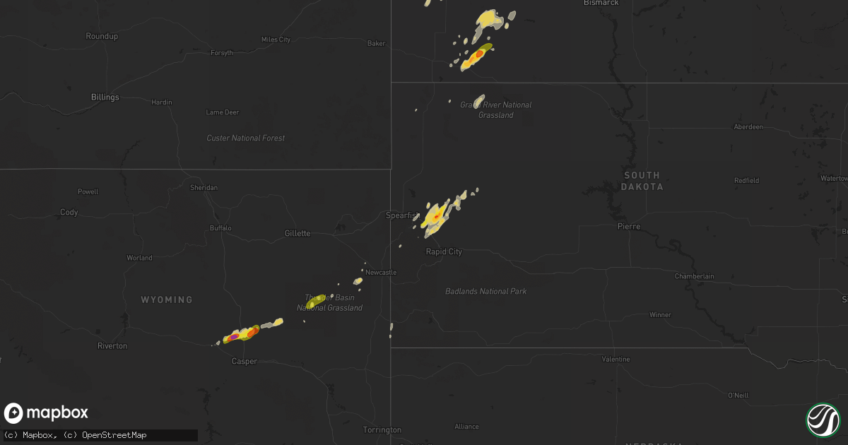
May 29 map
$229
one time, instant access
Download today. No call, no setup
Keep the $229
Bought the map and want the full workflow? Apply the entire $229 to a subscription within 7 days. None of it is wasted.
Every map, not just this one
This buys you this map. Subscription and you get every map we run, in the markets you choose from a few cities to whole states to nationwide. Plus real-time alerts the moment a storm fires.
Contact data
Name, contact info, occupancy, even credit band for addresses in the footprint. You go from where it hit to who to call.
Become the source they trust
Unlimited branding weather history reports on demand. You already have the documented answer ready for the property owner, and you are the one who showed up with it.
Property data and RoofTrace estimates
Pull up any address you have got, its value and the exact code rules for that jurisdiction, straight from One Click Code. Then RoofTrace estimates the squares, pitch, and roof value, priced the way you price.
States Impacted by Hail Map on May 29, 2014
Storm reports
Florida
| Date | Description |
|---|---|
| 05/29/20145:25 PM CDT | Sumter county emergency management reported multiple downed trees and power lines. 1 downed tree fell on a house in the tracys point area of lake panasoffkee. Time esti |
| 05/29/20145:13 PM CDT | Pasco county emergency management relayed a report of a mobile home that had its roof removed by strong winds in the land o lakes area. |
| 05/29/20144:55 PM CDT | Public reported nickel to quarter sized hail in the carrollwood area via social media. |
| 05/29/20144:25 PM CDT | Off duty nws employee reported downed healthy tree limbs with an outflow boundary ahead of storm in the valrico area. |
| 05/29/20144:22 PM CDT | A large pine tree around 55 feet tall is down. |
| 05/29/20144:19 PM CDT | One inch hail reported on state road 26 between trenton and newberry. |
| 05/29/20143:50 PM CDT | State emergency management reported quarter sized hail in fort meade at 450 pm edt. |
| 05/29/20142:31 PM CDT | A local report indicates 1.00 inch wind near 1 ENE STARKE |
| 05/29/20142:20 PM CDT | Powerlines down near conner nelson road |
| 05/29/20142:15 PM CDT | Dime to quarter size hail report at 581 north temple ave |
| 05/29/20142:08 PM CDT | Golf ball size hail reported at the best barn at the intersection of pratt and orange streets. Vehicle windows were busted. |
| 05/29/20142:08 PM CDT | Powerlines were down in three different locations. An awning was blown off a school near pratt and todd. Also a large tree was down on broadway and pratt. |
Georgia
| Date | Description |
|---|---|
| 05/29/20144:44 PM CDT | Several trees down across county- a few on houses. Time and distance from valdosta estimated based on kvax radar. |
| 05/29/20142:15 PM CDT | Approximately 17-18 trees were downed at a location off of tignall road... And another blocked both lanes of traffic of hwy 17 north. Event time estimated by radar. |
Virginia
| Date | Description |
|---|---|
| 05/29/20144:15 PM CDT | 4-inch diameter branches brought down in natural well area. Time estimated from radar. |
South Carolina
| Date | Description |
|---|---|
| 05/29/20145:45 PM CDT | A tree was reported down near the intersection of bartells road and baptist road. Report was relayed to williamsburg county 911 center. The time was estimated based on |
| 05/29/20145:25 PM CDT | A tree was reported down at the intersection of old creek road and stickland farm road. The time was estimated based on radar data. |
| 05/29/20144:45 PM CDT | Quarter to golfball size hail was reported. |
| 05/29/20144:33 PM CDT | A tree was reported down along highway 319. The time was estimated based on radar data. |
| 05/29/20144:30 PM CDT | Tree down across hwy 701 north of highway patrol office |
| 05/29/20143:15 PM CDT | Quarter inch hail reported vicinity hiway 9. Tweeted via social media . |
| 05/29/20142:55 PM CDT | A local report indicates 1.00 inch wind near 2 SSE DILLON |
| 05/29/20142:00 PM CDT | Tree down on roadway academy and fire tower rd. |
| 05/28/20147:47 PM CDT | Clarendon county dispatch reported trees crossing the road on alex harvin hwy just outside of manning. Time estimated by radar. |
| 05/28/20147:25 PM CDT | Sc highway patrol reported trees down at the st. Phillips church on church road |
| 05/28/20147:15 PM CDT | Clarendon county dispatch reported trees down on powerlines on mood st. In summerton |
North Dakota
| Date | Description |
|---|---|
| 05/29/20145:40 PM CDT | A few large golfball size hailstones. |
| 05/28/201410:32 PM CDT | A local report indicates 1.25 inch wind near MAX |
| 05/28/201410:28 PM CDT | A local report indicates 1.75 inch wind near 3 S MAX |
South Dakota
| Date | Description |
|---|---|
| 05/29/20146:55 PM CDT | Relayed by nws omaha. |
| 05/29/20146:05 PM CDT | A local report indicates 1.00 inch wind near 5 E BEAR BUTTE STATE PA |
| 05/28/20148:45 PM CDT | A local report indicates 1.00 inch wind near 4 ESE BEAR BUTTE STATE |
| 05/28/20148:15 PM CDT | A local report indicates 1.75 inch wind near 6 E BEAR BUTTE STATE PA |
| 05/28/20147:55 PM CDT | A local report indicates 1.00 inch wind near 7 ENE BEAR BUTTE STATE |
| 05/28/20147:48 PM CDT | A local report indicates 1.00 inch wind near 9 NE DOWNTOWN STURGIS |
| 05/28/20147:05 PM CDT | A local report indicates 1.00 inch wind near 6 NE DOWNTOWN STURGIS |
Wyoming
| Date | Description |
|---|---|
| 05/29/20145:50 PM CDT | A local report indicates 1.00 inch wind near 19 SE WRIGHT |
Alabama
| Date | Description |
|---|---|
| 05/29/20144:00 PM CDT | Tree down on car near dickert community along state highway 22 near county road 65. Winds estimated near 40 mph. |
North Carolina
| Date | Description |
|---|---|
| 05/29/20145:25 PM CDT | 1 tree down hayenridge ct |
| 05/29/20145:20 PM CDT | 1 tree down at intersection of hambright rd and montecarlo dr |
| 05/29/20145:00 PM CDT | A tree down on nc 51 near monroe road. |
| 05/29/20144:40 PM CDT | A local report indicates 1.00 inch wind near 4 ESE MINT HILL |
| 05/29/20144:15 PM CDT | Rooftop ripped off a barn on hartland rd in the chesterfield community north of morganton. Time estimated from radar. |
| 05/29/20144:10 PM CDT | A tree down on house intersection of nc hwy 18 and antioch rd. |
| 05/29/20144:10 PM CDT | Trees and power lines down on nc hwy 18 near johns river. |
| 05/29/20143:45 PM CDT | Numerous 2-3 inch diameter branches down in riverbend park |
| 05/29/20143:30 PM CDT | Nickel to quarter size hail fell. Did not cover the ground. |
| 05/29/20143:30 PM CDT | Trees down on brickyard road in norwood. Time estimated by radar. |
| 05/29/20143:15 PM CDT | Power pole down on east washington street. |
| 05/29/20143:07 PM CDT | Hail to the size of quarters was reported. |
| 05/29/20143:00 PM CDT | A tree was reported down and blocking locklear road. The fire department was called to remove the tree. |
| 05/29/20142:15 PM CDT | Hail up to the size of ping pong balls at walhalla farm |
Tennessee
| Date | Description |
|---|---|
| 05/29/20142:40 PM CDT | Trees and power lines down on merchants drive. |
Cities Impacted by Hail Map on May 29, 2014
- Dickinson, ND
- Belfield, ND
- Reeder, ND
- Valdosta, GA
- Regent, ND
- Lake Butler, FL
- Immokalee, FL
- Dillon, SC
- Fork, SC
- Latta, SC
- Trenton, FL
- Newberry, FL
- Starke, FL
- Gresham, SC
- Conway, SC
- Allendale, SC
- Homosassa, FL
- Hazen, ND
- Casper, WY
- Galivants Ferry, SC
- Aynor, SC
- Amidon, ND
- Johnsonville, SC
- Hemingway, SC
- Mooresville, NC
- Fort Meade, SD
- Sturgis, SD
- Whitewood, SD
- Vale, SD
- Beulah, ND
- Richardton, ND
- Zap, ND
- Hilliard, FL
- Bladenboro, NC
- Statesville, NC
- Gladstone, ND
- Mott, ND
- Lefor, ND
- New England, ND
- Hettinger, ND
- Lake Park, GA
- Rocky Point, NC
- Lake Panasoffkee, FL
- Halliday, ND
- Burgaw, NC
- Church Hill, TN
- Rogersville, TN
- Newcastle, WY
- Charlotte, NC
- Matthews, NC
- Indian Trail, NC
- Huntersville, NC
- Cornelius, NC
- Brooker, FL
- Hebron, ND
- Taylor, ND
- New Holland, IL
- Mason City, IL
- Gainesville, FL
- Tampa, FL
- Piedmont, SD
- Nemo, SD
- Newell, SD
- Wauchula, FL
- Zolfo Springs, FL
- Lavonia, GA
- Rowland, NC
- Pembroke, NC
- Maxton, NC
- Avon Park, FL
- Sebring, FL
- Loris, SC
- Nichols, SC
- Manning, SC
- Mount Gilead, NC
- Bowman, SC
- Land O'Lakes, FL
- High Springs, FL
- Green Sea, SC
- Tabor City, NC
- Lodgepole, SD
- Alcolu, SC
- Easton, IL
- Clarendon, NC
- Whiteville, NC
- Chadbourn, NC
- Alachua, FL
- Cerro Gordo, NC
- Punta Gorda, FL
- Garrison, ND
- Archer, FL
- Kannapolis, NC
- Douglas, WY
- Sumterville, FL
- Wildwood, FL
- Covington, VA
- Marshville, NC
- Peachland, NC
- Kelly, NC
- Atkinson, NC
- Concord, NC
- Summerton, SC
- Folkston, GA
- Buffalo, SD
- Prairie City, SD
- Stony Point, NC
- Norwood, NC
- Taylorsville, NC
- Nisland, SD
- Davidson, NC
- Wallace, SC
- Brooksville, FL
- Lake City, FL
- Surgoinsville, TN
- Dodge, ND
- Saint George, GA
- Lumberton, NC
- Golden Valley, ND
- Bushnell, FL
- Fort Myers, FL
- Lake Placid, FL
- Elloree, SC
- Cameron, SC
- Summerville, SC
- Inverness, FL
- Floral City, FL
- Hampton, FL
- Odessa, FL
- Moultrie, GA
- Murphy, NC
- Monroe, NC
- Ocean Isle Beach, NC
- Ash, NC
- Fairmont, NC
- Sparta, NC
- Nesmith, SC
- Santee, SC
- Harrisburg, NC
- South Heart, ND
- Union Center, SD
- Gillette, WY
- Jesup, GA
- Thonotosassa, FL
- Plant City, FL
- Wesley Chapel, FL
- San Antonio, FL
- Albemarle, NC
- Glenrock, WY
- Kingstree, SC
- Fair Bluff, NC
- Rowesville, SC
- Coolidge, GA
- Okeechobee, FL
- Frostproof, FL
- Longwood, NC
- Medora, ND
- Fort Meade, FL
- Aberdeen, NC
- Wagram, NC
- Raeford, NC