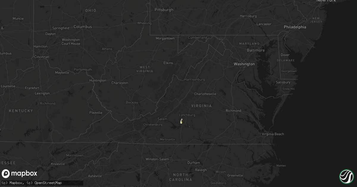
Hail Map in Virginia on May 21, 2026
Get this storm
May 21 map
$229
one time, instant access
Download today. No call, no setup
Keep the $229
Bought the map and want the full workflow? Apply the entire $229 to a subscription within 7 days. None of it is wasted.
Every map, not just this one
This buys you this map. Subscription and you get every map we run, in the markets you choose from a few cities to whole states to nationwide. Plus real-time alerts the moment a storm fires.
Contact data
Name, contact info, occupancy, even credit band for addresses in the footprint. You go from where it hit to who to call.
Become the source they trust
Unlimited branding weather history reports on demand. You already have the documented answer ready for the property owner, and you are the one who showed up with it.
Property data and RoofTrace estimates
Pull up any address you have got, its value and the exact code rules for that jurisdiction, straight from One Click Code. Then RoofTrace estimates the squares, pitch, and roof value, priced the way you price.
Storm reports in Virginia
Virginia
| Date | Description |
|---|---|
| 05/21/20263:30 PM CDT | Multiple downed trees reported throughout the county after storms came through. One was reported in northern halifax county. |
| 05/21/20263:15 PM CDT | One tree down on the 16000 block of wyatts way. |
| 05/21/20263:00 PM CDT | Tree down along cottontown road. |
| 05/21/20263:00 PM CDT | Tree down near the 2800 block of camp hydaway road. |
| 05/21/20263:00 PM CDT | Tree down near goode. Radar est. Toc 1600. Called into eoc 1700. |
| 05/21/20262:55 PM CDT | One tree down near the 2600 block of thomas jefferson road. |
| 05/21/20262:55 PM CDT | Corrects previous tstm wnd dmg report from huddleston. One tree down on the 16000 block of wyatts way. |
| 05/21/20262:43 PM CDT | Several trees down along angel place rd. Radar est. Toc 1543. Called into eoc 1707. |
| 05/21/20262:27 PM CDT | Thunderstorm winds blew down one tree near the intersection of leesville road and bishop creek road. |
All States Impacted by Hail Map on May 21, 2026
Cities Impacted by Hail Map on May 21, 2026
- Stanton, TX
- Morriston, FL
- Crane, TX
- Ozona, TX
- Garden City, TX
- McCamey, TX
- Springer, NM
- Evington, VA
- Lynch Station, VA
- Huddleston, VA
- Big Spring, TX
- Junction, TX
- Menard, TX
- Bell, FL
- Forest, VA
- London, TX
- Maxwell, NM
- Iraan, TX
- Fort Stockton, TX
- Branson, CO
- Gladys, VA
- Lampasas, TX
- Naples, FL
- Las Animas, CO
- Mason, TX
- Pine Ridge, SD
- Philip, SD
- Chadron, NE
- Milnesand, NM
- Oelrichs, SD
- Bonita Springs, FL
- Mitchell, NE
- Harrison, NE
- Byers, CO
- Doss, TX
- Pep, NM
- Scottsbluff, NE
- Deer Trail, CO
- Fredericksburg, TX
- Grenville, NM
- Llano, TX
- Whitney, NE
- Sterling, CO
- Rapid City, SD
- New England, ND
- Harrisburg, NE
- Marble Falls, TX
- Kenton, OK
- Pritchett, CO
- Tatum, NM
- Sonora, TX
- South Heart, ND
- Willow City, TX
- Dickinson, ND
- New Underwood, SD
- Johnson City, TX
- Burnet, TX
- Round Mountain, TX
- Dupree, SD
- Comstock, TX
- Bushnell, NE
- Enning, SD
- Iliff, CO
- Union Center, SD
- Padroni, CO
- Minatare, NE
- Lamar, CO
- Woodrow, CO
- Morton, TX
- Kimball, NE
- Dix, NE
- Campo, CO
- Buffalo, SD
- Eldorado, TX
- Boise City, OK
- Granada, CO
- Del Rio, TX
- Lindon, CO
- Genoa, CO
- Walsh, CO
- Clovis, NM
- Georgetown, TX
- Seibert, CO
- Merino, CO
- Stoneham, CO
- Bovina, TX
- New Raymer, CO
- Cope, CO
- Anton, CO
- Arriba, CO
- Rocksprings, TX
- Flagler, CO
- Manter, KS
- Vona, CO
- Wimberley, TX
- Fischer, TX
- Elida, NM
- Joes, CO
- Fort Morgan, CO
- San Marcos, TX
- Keyes, OK
- Buda, TX
- Driftwood, TX
- Dalhart, TX
- Nara Visa, NM
- Strasburg, CO
- Hazen, ND
- Snyder, CO
- Bennett, CO
- Mott, ND
- Leakey, TX
- Peetz, CO
- Hettinger, ND
- New Leipzig, ND
- Beulah, ND
- Crossroads, NM
- Rolla, KS
- Agate, CO
- Glen Ullin, ND
- Otis, CO
- Stratton, CO
- Hugoton, KS
- Stratford, TX
- Tarpley, TX
- Limon, CO
- Medina, TX
- Gruver, TX
- Hondo, TX
- D Hanis, TX
- Guymon, OK
- Channing, TX
- Hardesty, OK
- Liberal, KS
- Bethune, CO
- Hartley, TX
- Turpin, OK
- Bandera, TX
- Sunray, TX
- San Antonio, TX
- Burlington, CO
- Marathon, TX
- Dryden, TX
- Kirk, CO
- Hooker, OK
- Raymond, MS


