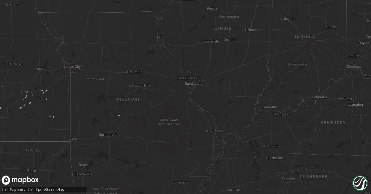
Hail Map in Virginia on May 18, 2011
Get this storm
May 18 map
$229
one time, instant access
Download today. No call, no setup
Keep the $229
Bought the map and want the full workflow? Apply the entire $229 to a subscription within 7 days. None of it is wasted.
Every map, not just this one
This buys you this map. Subscription and you get every map we run, in the markets you choose from a few cities to whole states to nationwide. Plus real-time alerts the moment a storm fires.
Contact data
Name, contact info, occupancy, even credit band for addresses in the footprint. You go from where it hit to who to call.
Become the source they trust
Unlimited branding weather history reports on demand. You already have the documented answer ready for the property owner, and you are the one who showed up with it.
Property data and RoofTrace estimates
Pull up any address you have got, its value and the exact code rules for that jurisdiction, straight from One Click Code. Then RoofTrace estimates the squares, pitch, and roof value, priced the way you price.
Storm reports in Virginia
Virginia
| Date | Description |
|---|---|
| 05/18/20116:11 PM CDT | Spotter |
| 05/18/20115:58 PM CDT | A local report indicates 1.00 inch wind near 2 S FREDERICKSBURG |
| 05/18/20115:15 PM CDT | Tree down on fredricksburg tpk. |
| 05/18/20115:10 PM CDT | Tree down on sparta rd. |
| 05/18/20114:50 PM CDT | Small hail with a few pieces as large as a quarter |
| 05/18/20114:45 PM CDT | A local report indicates 1.00 inch wind near 1 SW ENFIELD |
| 05/18/20114:45 PM CDT | A local report indicates 1.00 inch wind near 2 SSE ORLEAN |
| 05/18/20114:31 PM CDT | Some oblong hailstones 1.5 inches long |
| 05/18/20114:30 PM CDT | A local report indicates 1.00 inch wind near 3 NNE WESTWOOD |
| 05/18/20114:28 PM CDT | A local report indicates 1.00 inch wind near 1 NNE SEALSTON |
| 05/18/20114:15 PM CDT | A local report indicates 1.00 inch wind near 3 NNE WESTWOOD |
| 05/18/20113:45 PM CDT | Several trees down blocking roads. |
| 05/18/20113:35 PM CDT | Large tree down on highway 615 |
| 05/18/20113:15 PM CDT | Azalea garden road and military highway |
| 05/18/20113:15 PM CDT | Military highway and i-264 |
| 05/18/20113:11 PM CDT | A local report indicates 1.00 inch wind near KNOB HILL |
| 05/18/20113:11 PM CDT | A local report indicates 1.25 inch wind near TANGLEWOOD |
| 05/18/20113:10 PM CDT | A local report indicates 1.00 inch wind near COLLEGE PARK |
| 05/18/20113:08 PM CDT | A local report indicates 1.00 inch wind near BAYBERRY PLACE |
| 05/18/20113:06 PM CDT | A local report indicates 1.00 inch wind near CHESAPEAKE |
| 05/18/20113:05 PM CDT | A local report indicates 1.00 inch wind near COLLEGE PARK |
All States Impacted by Hail Map on May 18, 2011
Cities Impacted by Hail Map on May 18, 2011
- Commerce City, CO
- Denver, CO
- Thornton, CO
- Henderson, CO
- Dupont, CO
- Beloit, KS
- Tipton, KS
- New Kent, VA
- Quinton, VA
- Providence Forge, VA
- Aylett, VA
- Manquin, VA
- Mechanicsville, VA
- Norfolk, VA
- Charles City, VA
- Downs, KS
- Portis, KS
- Bowling Green, VA
- Milford, VA
- Fairview, WV
- Mount Morris, PA
- Rivesville, WV
- Maidsville, WV
- Spraggs, PA
- Waynesburg, PA
- Blacksville, WV
- Kinsley, KS
- Hanston, KS
- Olney Springs, CO
- Wichita, KS
- Newport News, VA
- Fowler, CO
- Concordia, KS
- Brighton, CO
- Goodland, KS
- Gove, KS
- Grinnell, KS
- Ordway, CO
- Crowley, CO
- Oakley, KS
- Lost Springs, KS
- Ramona, KS
- Burlington, CO
- Gloucester Point, VA
- Hayes, VA
- Kit Carson, CO
- Sugar City, CO
- West Alexander, PA
- Virginia Beach, VA
- Fredericksburg, VA
- Windsor, VA
- Smithfield, VA
- Yorktown, VA
- Stark, KS
- Erie, KS
- Portsmouth, VA
- Chesapeake, VA
- Fairmont, WV
- Montana Mines, WV
- Baxter, WV
- Arlington, CO
- Waverly, KS
- Melvern, KS
- Plainville, KS
- Burdett, KS
- Larned, KS
- Scott City, KS
- Stafford, VA
- King George, VA
- Prosperity, PA
- Marion, KS
- Kanorado, KS
- Rappahannock Academy, VA
- Port Royal, VA
- Woodford, VA
- Hanover, VA
- King William, VA
- Kechi, KS
- Fort Monroe, VA
- Osborne, KS
- King And Queen Court House, VA
- Jetmore, KS
- Williamsburg, KS
- Valley Center, KS
- Simpson, KS
- Jamestown, KS
- Glasco, KS
- Aurora, KS
- Claysville, PA
- Little Plymouth, VA
- Windyville, MO
- Lebanon, MO
- Leoti, KS
- Hays, KS
- Benton, KS
- Madison, KS
- Suffolk, VA
- Cheyenne Wells, CO
- Claremore, OK
- Haswell, CO
- Eads, CO
- Hamilton, KS
- Natoma, KS
- Westphalia, KS
- Olpe, KS
- Emporia, KS
- Hartford, KS
- Manzanola, CO
- Center Cross, VA
- Winona, KS
- Monument, KS
- Newton, KS
- Whitewater, KS
- Liebenthal, KS
- Eureka, KS
- Ivor, VA
- Rexford, KS
- Weskan, KS
- Arapahoe, CO
- Boone, CO
- Colby, KS
- Broomfield, CO
- Sycamore, PA
- Graysville, PA
- Zuni, VA
- Victoria, KS
- Nanjemoy, MD


