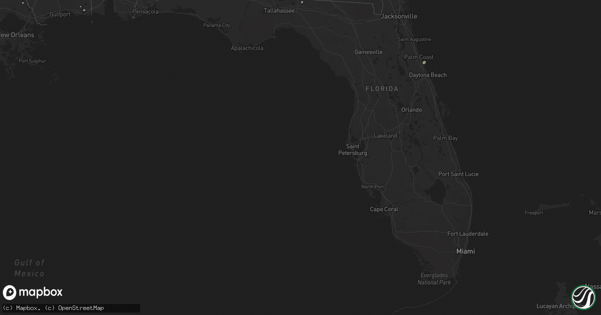
Hail Map in Florida on May 17, 2023
Get this storm
May 17 map
$229
one time, instant access
Download today. No call, no setup
Keep the $229
Bought the map and want the full workflow? Apply the entire $229 to a subscription within 7 days. None of it is wasted.
Every map, not just this one
This buys you this map. Subscription and you get every map we run, in the markets you choose from a few cities to whole states to nationwide. Plus real-time alerts the moment a storm fires.
Contact data
Name, contact info, occupancy, even credit band for addresses in the footprint. You go from where it hit to who to call.
Become the source they trust
Unlimited branding weather history reports on demand. You already have the documented answer ready for the property owner, and you are the one who showed up with it.
Property data and RoofTrace estimates
Pull up any address you have got, its value and the exact code rules for that jurisdiction, straight from One Click Code. Then RoofTrace estimates the squares, pitch, and roof value, priced the way you price.
Storm reports in Florida
Florida
| Date | Description |
|---|---|
| 05/17/20233:35 PM CDT | A tree was blown down at dyal road and us highway 1 nw of callahan. The time of damage was based on radar. |
| 05/17/20232:15 PM CDT | Wind gusts from a thunderstorm estimated around 36 kts/41 mph damaged outdoor furniture and caused some tree damage in the area. |
| 05/17/20231:50 PM CDT | Two trees were blown down across i-75 at mile marker 467. The time of damage was based on radar imagery. |
| 05/17/20231:50 PM CDT | Corrects previous tstm wnd dmg report from 1 wsw jennings. A trees was blown down across 2 lanes of i-75 at mile marker 467. The time of damage was based on radar image |
| 05/17/20231:20 PM CDT | Severe storm winds caused damage to utility equipment on little talbot island. The time of damage was based on radar imagery. |
| 05/17/20231:20 PM CDT | Corrects previous tstm wnd dmg report from 2 wnw mayport. Restaurant along the st. Johns river reports electronic sign blown over and smashed. Time estimated from radar |
| 05/17/20231:15 PM CDT | Restaurant along the st. Johns river reports electronic sign blown over and smashed. Time estimated from radar. |
| 05/17/202312:49 PM CDT | Fhp reports trees down on interstate 10 at mile marker 246... Blocking eastbound travel lanes. Time estimated by radar. |
| 05/17/202311:37 AM CDT | Tree down on martin luther king blvd. Time estimated by radar. |
| 05/17/202311:35 AM CDT | Tree down on fulton harvey road. Time estimated by radar. |
| 05/17/202311:34 AM CDT | Public report of tree down on harvey mill road at mill hollow drive. Time estimated by radar. |
| 05/17/202311:32 AM CDT | Powerlines down in quincy. Time estimated by radar. |
All States Impacted by Hail Map on May 17, 2023
Cities Impacted by Hail Map on May 17, 2023
- Rapid City, SD
- Black Hawk, SD
- Piedmont, SD
- Casper, WY
- Hay Springs, NE
- Prescott, AZ
- Dewey, AZ
- Belvidere, SD
- White River, SD
- Long Valley, SD
- Kadoka, SD
- Norris, SD
- Midland, SD
- Douglas, WY
- Shawnee, WY
- Pritchett, CO
- Springfield, CO
- Roscoe, TX
- Maryneal, TX
- Las Animas, CO
- Kim, CO
- Venango, NE
- Imperial, NE
- Champion, NE
- Miami, TX
- Pampa, TX
- Payson, AZ
- Parks, NE
- Benkelman, NE
- Haigler, NE
- Vernon, CO
- Wray, CO
- Saint Francis, KS
- Idalia, CO
- Harrisburg, NE
- Hooker, OK
- Tyrone, OK
- Liberal, KS
- Hugoton, KS
- Oelrichs, SD
- Charleston, SC
- Groom, TX
- Elberta, AL
- Lucedale, MS
- Leakesville, MS
- Skipperville, AL
- Ozark, AL
- Bushnell, NE
- Mission, TX
- Aguilar, CO
- Walsenburg, CO
- Reynolds, GA
- Troy, AL
- Kanorado, KS
- Goodland, KS
- Jack, AL
- Alliance, NE
- Citronelle, AL
- Eastman, GA
- Whitman, NE
- Crook, CO
- Petal, MS
- Vancleave, MS
- Waynesboro, MS
- Wheatland, WY
- Hermleigh, TX
- Moss Point, MS
- Lake Park, GA
- McLain, MS
- Nemo, SD
- Holabird, SD
- Highmore, SD
- Onida, SD
- Weatherford, OK
- Julesburg, CO
- Brule, NE
- Big Springs, NE
- Coahoma, TX
- Bush, LA
- Flagler Beach, FL
- Hemingford, NE
- Pine Ridge, SD
- Covington, LA
- Abita Springs, LA
- Merriman, NE
- Monticello, FL
- Dublin, GA
- Keystone, NE
- Blackwell, TX
- Shubuta, MS
- Quitman, MS
- Vossburg, MS
- Milesville, SD
- Philip, SD
- Beaver, OK
- Butler, GA
- Seminole, AL
- Valentine, NE
- Gulfport, MS
- Pine Bluffs, WY
- Millry, AL
- Laurel Hill, FL
- Rutledge, AL
- Carpenter, WY
- Wiggins, MS
- Grouse Creek, UT
- Thomasville, AL
- Lower Peach Tree, AL
- Pine Hill, AL
- Angie, LA
- Hollywood, FL
- Heidelberg, MS
- Laurel, MS
- Lewellen, NE
- Lemoyne, NE
- Chadron, NE
- Lillian, AL
- Grand Bay, AL
- Turpin, OK
- Torrington, WY
- Eufaula, AL
- San Perlita, TX
- Hyannis, NE
- Cape Canaveral, FL
- Patrick Afb, FL
- San Benito, TX
- Brownsville, TX
- Cochran, GA
- Wing, AL
- McIntosh, AL
- Bayard, NE
- Snyder, TX
- Jupiter, FL
- Palm Beach Gardens, FL
- Merritt Island, FL
- Cresbard, SD
- Morrill, NE
- Enterprise, AL
- Wagarville, AL
- Rushville, NE
- Mcallen, TX
- Gainestown, AL
- Burns, WY
- Coffeeville, AL
- Jackson, AL
- Tibbie, AL
- Panhandle, TX
- Grover, CO
- Loraine, TX
- Sunshine, LA
- Saint Gabriel, LA
- Baton Rouge, LA
- Irvington, AL
- Yulee, FL
- Havana, FL
- Melbourne, FL
- Sturgis, SD
- Georgiana, AL
- Pine Apple, AL
- Oshkosh, NE
- Arthur, NE
- Mullen, NE
- Linden, AL
- New Iberia, LA
- Pima, AZ
- Mount Vernon, AL
- Thatcher, AZ
- Martin, SD
- New Brockton, AL
- Ariton, AL
- Flagstaff, AZ
- Theodore, AL
- Goshen, AL
- Ira, TX
- Hollywood, SC
- Ravenel, SC
- Fort Lauderdale, FL
- Saint Francis, SD
- Ovett, MS
- Richton, MS
- Edinburg, TX
- Mobile, AL
- Saraland, AL
- Birmingham, AL
- Thomasville, GA
- Arabi, LA
- Fernandina Beach, FL
- Cheyenne, WY
- Cairo, GA
- Ipswich, SD
- Adams Run, SC
- Wood, SD
- Deer Park, AL
- Trussville, AL
- Mount Pleasant, SC
- Frisco City, AL
- Chattahoochee, FL
- Ashby, NE
- Fargo, GA
- Los Fresnos, TX
- Montezuma, GA
- Perry, GA
- Marshallville, GA
- Mayo, FL
- Grant, NE
- Robertsdale, AL
- Coden, AL
- Rio Hondo, TX
- Deadwood, SD
- Waverly Hall, GA
- Shiloh, GA
- Franklinton, LA
- Bogalusa, LA
- Chalmette, LA
- Buckatunna, MS
- Hahira, GA
- Palm Bay, FL
- Seneca, NE
- Vinegar Bend, AL
- Dexter, GA
- Dudley, GA
- Campbell, AL
- Sheridan Lake, CO
- Fort Rucker, AL
- Mitchell, NE
- Livingston, LA
- Walker, LA
- Waynesboro, GA
- Leroy, AL
- Stevenson, WA
- Stringer, MS
- Bay Springs, MS
- Pharr, TX
- Hidalgo, TX


