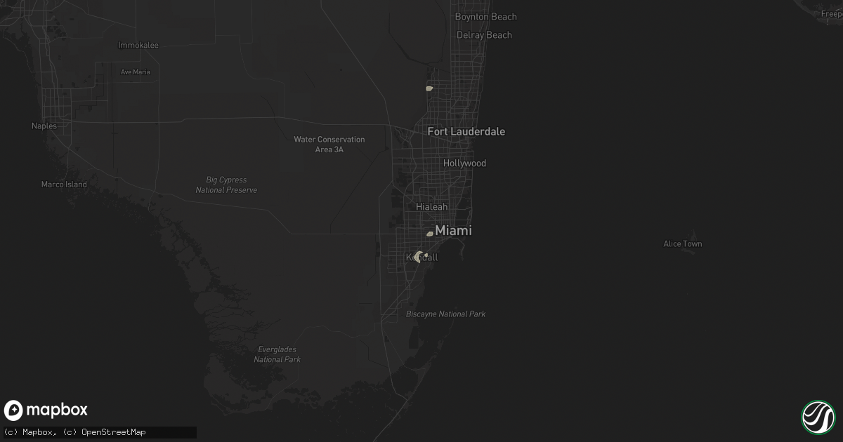
Hail Map in Miami, FL on May 17, 2020
Get this storm
May 17 map
$229
one time, instant access
Download today. No call, no setup
Keep the $229
Bought the map and want the full workflow? Apply the entire $229 to a subscription within 7 days. None of it is wasted.
Every map, not just this one
This buys you this map. Subscription and you get every map we run, in the markets you choose from a few cities to whole states to nationwide. Plus real-time alerts the moment a storm fires.
Contact data
Name, contact info, occupancy, even credit band for addresses in the footprint. You go from where it hit to who to call.
Become the source they trust
Unlimited branding weather history reports on demand. You already have the documented answer ready for the property owner, and you are the one who showed up with it.
Property data and RoofTrace estimates
Pull up any address you have got, its value and the exact code rules for that jurisdiction, straight from One Click Code. Then RoofTrace estimates the squares, pitch, and roof value, priced the way you price.
Storm reports in Miami, FL
Miami, FL
| Date | Description |
|---|---|
| 05/17/20203:30 PM CDT | An off-duty nws employee reported multiple medium sized tree branches down near hammock oaks and old cutler road. Time estimated via radar. |
| 05/17/20203:25 PM CDT | An off-duty nws employee reported multiple medium and large tree branches down near percival and oaks avenues. Time estimated via radar. |
| 05/17/20203:15 PM CDT | Public reported a few downed softwood trees in their backyard in the glenvar heights/south miami area via social media. Radar estimated time of 415 pm. |
| 05/17/20203:15 PM CDT | An off-duty nws employee reported large tree branches down near the intersection of 104th street and 115th avenue. Time estimated via radar. |
| 05/17/20203:00 PM CDT | Public reported a large tree downed onto their roof and fence around 400 pm. |
All States Impacted by Hail Map on May 17, 2020
All Cities Impacted by Hail Map on May 17, 2020
- Demopolis, AL
- Middleton, TN
- Miami, FL
- Ripley, MS
- New Albany, MS
- Rye, CO
- Colorado City, CO
- Pueblo, CO
- Sawyerville, AL
- Greensboro, AL
- Trinidad, CO
- Switz City, IN
- Coral Springs, FL
- Eupora, MS
- Huron, TN
- Luray, TN
- Morris, AL
- Hazel, KY
- Murray, KY
- Lisman, AL
- Philadelphia, MS
- Noxapater, MS
- Iuka, MS
- Counce, TN
- Blue Springs, MS
- Bethel Springs, TN
- Weir, MS
- Blue Mountain, MS
- Orrville, AL
- Booneville, MS
- Tiplersville, MS
- Falkner, MS
- Louin, MS
- Jackson, TN
- York, AL
- Livingston, AL
- Henderson, TN
- Louisville, MS
- Pheba, MS
- Dyer, TN
- Trenton, TN
- Pontotoc, MS
- Lena, MS
- Forest, MS
- Lexington, TN
- Walnut, MS
- Etta, MS
- Vardaman, MS
- Thomasville, AL
- Savannah, TN
- Pennington, AL
- Ward, AL
- Aliceville, AL
- Calhoun City, MS
- Raton, NM
- Linton, IN
- Dugger, IN
- Carlisle, IN
- Potlatch, ID
- Macon, MS
- Lawrenceville, IL
- Oaktown, IN
- Merom, IN
- Palestine, IL
- Robinson, IL


