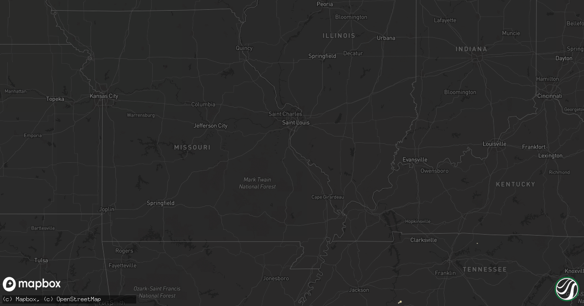
Hail Map in South Carolina on May 17, 2012
Get this storm
May 17 map
$229
one time, instant access
Download today. No call, no setup
Keep the $229
Bought the map and want the full workflow? Apply the entire $229 to a subscription within 7 days. None of it is wasted.
Every map, not just this one
This buys you this map. Subscription and you get every map we run, in the markets you choose from a few cities to whole states to nationwide. Plus real-time alerts the moment a storm fires.
Contact data
Name, contact info, occupancy, even credit band for addresses in the footprint. You go from where it hit to who to call.
Become the source they trust
Unlimited branding weather history reports on demand. You already have the documented answer ready for the property owner, and you are the one who showed up with it.
Property data and RoofTrace estimates
Pull up any address you have got, its value and the exact code rules for that jurisdiction, straight from One Click Code. Then RoofTrace estimates the squares, pitch, and roof value, priced the way you price.
Storm reports in South Carolina
South Carolina
| Date | Description |
|---|---|
| 05/17/20123:50 PM CDT | Pelion cooperative observer reported a few shingles were blown off by the strong winds. |
| 05/17/20122:23 PM CDT | Sheriff dispatch reported trees down along cherryvale drive. |
| 05/17/20121:35 PM CDT | Trees and powerlines down at the intersection of high street and west cambridge avenue just west of downtown greenwood. |
| 05/17/20121:05 PM CDT | Ping pong ball sized hail. |
| 05/17/201212:33 PM CDT | Sheriff dispatch reported trees down near smith road and radio road |
| 05/17/201212:31 PM CDT | Sheriff dispatch reported trees down near beth eden road and seymore road. |
| 05/17/201212:23 PM CDT | Sheriff dispatch reported a tree down on a house along mount bethel garmany road. |
| 05/17/201212:23 PM CDT | Sheriff dispatch reported quarter size hail along mount bethel garmany road. |
All States Impacted by Hail Map on May 17, 2012
Cities Impacted by Hail Map on May 17, 2012
- Cumming, GA
- Cocoa Beach, FL
- Cocoa, FL
- Cape Canaveral, FL
- Merritt Island, FL
- Waycross, GA
- Surrency, GA
- Baxley, GA
- Odum, GA
- Hampton, SC
- Estill, SC
- Varnville, SC
- Lincolnton, GA
- Tignall, GA
- Blackshear, GA
- Alma, GA
- Mershon, GA
- Du Pont, GA
- Christmas, FL
- Titusville, FL
- Marietta, GA
- Smyrna, GA
- Atlanta, GA
- Guyton, GA
- Springfield, GA
- Interlachen, FL
- Brunswick, GA
- Louisville, GA
- Hardeeville, SC
- Bluff City, TN
- Bristol, TN
- Wedgefield, SC
- Timmonsville, SC
- Bunnell, FL
- Crescent City, FL
- Pomona Park, FL
- Callahan, FL
- Clinton, SC
- Darien, GA
- Waterloo, SC
- Laurens, SC
- Citra, FL
- Elko, GA
- Unadilla, GA
- Byromville, GA
- Broxton, GA
- Ambrose, GA
- Wray, GA
- Roswell, GA
- Sardis, GA
- Ruffin, SC
- Jacksonville, FL
- Deltona, FL
- Osteen, FL
- Lexington, SC
- Fernandina Beach, FL
- Astor, FL
- Pierson, FL
- Lake Butler, FL
- Mountville, SC
- Statesboro, GA
- Brooklet, GA
- Fairburn, GA
- Douglasville, GA
- Wytheville, VA
- Fort Stewart, GA
- Buena Vista, GA
- Mableton, GA
- Palmetto, GA
- Elberton, GA
- Howes, SD
- Screven, GA
- Nicholls, GA
- Millwood, GA
- Manor, GA
- Hamer, SC
- Dillon, SC
- Mitchell, GA
- Florahome, FL
- Saint Marys, GA
- Yulee, FL
- Townsend, GA
- Hortense, GA
- Seville, FL
- Mims, FL
- Oak Hill, FL
- Orlando, FL
- Hahira, GA
- Minter City, MS
- Fargo, GA
- Dawsonville, GA
- Raeford, NC
- Preston, GA
- Gainesville, GA
- Conway, SC
- New Smyrna Beach, FL
- Clifton, TN
- Deland, FL
- Edgewater, FL
- De Leon Springs, FL
- Lake Helen, FL
- Debary, FL
- Orange City, FL
- Geneva, FL
- Fort McCoy, FL
- Haddock, GA
- Gray, GA
- Rushville, NE
- Green Cove Springs, FL
- Middleburg, FL
- Garnett, SC
- Winner, SD
- Drake, ND
- Butte, ND
- Ridgeville, SC
- Pembroke, GA
- West Jefferson, NC
- Jefferson, NC
- Newberry, SC
- Asheville, NC
- Leicester, NC
- Millen, GA
- Waynesboro, GA
- Aynor, SC
- Galivants Ferry, SC
- Naylor, GA
- Florence, SC
- Jesup, GA
- Saint Augustine, FL
- New Salem, ND
- Colby, KS
- Weaverville, NC
- Valdosta, GA
- Tribune, KS
- Walterboro, SC
- Kadoka, SD
- Merriman, NE
- Rockledge, FL
- Patterson, GA
- Islandton, SC
- Currie, NC
- Melrose, FL
- Palatka, FL
- Green Pond, SC
- Satsuma, FL
- Patrick Afb, FL
- Bristol, GA
- Jasper, GA
- Winston, GA
- Marion, SC
- Carlisle, SC
- Chester, SC
- Hartsville, TN
- Bryceville, FL
- Clyo, GA
- Keystone Heights, FL
- Hawthorne, FL
- Winter Springs, FL
- Oviedo, FL
- Milledgeville, GA
- Schlater, MS
- Pineland, SC
- Cheraw, SC
- Canton, GA
- Savannah, GA
- Ulysses, KS
- Rincon, GA
- Ludowici, GA
- Reddick, FL
- Uvalda, GA
- Carlton, GA
- Ball Ground, GA
- Stephens, GA
- Lamar, CO
- Waynesboro, TN
- Hartsfield, GA
- Gray Court, SC
- Mullins, SC
- Alpharetta, GA
- Blair, SC
- Kings Bay, GA
- Kingsland, GA
- Whitmire, SC
- Pomaria, SC
- Summerville, SC
- Pelham, GA
- Latta, SC
- Pembroke, NC
- Waverly, GA
- Effingham, SC
- Flowery Branch, GA
- Cross Hill, SC
- Ellijay, GA


