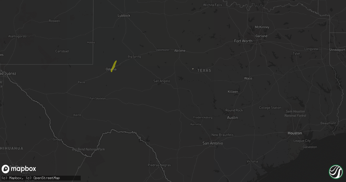
Hail Map in Texas on May 10, 2019
Get this storm
May 10 map
$229
one time, instant access
Download today. No call, no setup
Keep the $229
Bought the map and want the full workflow? Apply the entire $229 to a subscription within 7 days. None of it is wasted.
Every map, not just this one
This buys you this map. Subscription and you get every map we run, in the markets you choose from a few cities to whole states to nationwide. Plus real-time alerts the moment a storm fires.
Contact data
Name, contact info, occupancy, even credit band for addresses in the footprint. You go from where it hit to who to call.
Become the source they trust
Unlimited branding weather history reports on demand. You already have the documented answer ready for the property owner, and you are the one who showed up with it.
Property data and RoofTrace estimates
Pull up any address you have got, its value and the exact code rules for that jurisdiction, straight from One Click Code. Then RoofTrace estimates the squares, pitch, and roof value, priced the way you price.
Storm reports in Texas
Texas
| Date | Description |
|---|---|
| 05/10/201910:47 AM CDT | Hail coating ground |
| 05/10/20197:45 AM CDT | At 1244 AM CDT, severe thunderstorms were located along a line extending from 6 miles south of Jamaica Beach to 16 miles south of Matagorda, moving east at 60 mph. Dime size hail was reported in Lake Jackson. HAZARD...60 mph wind gusts and quarter size hail. SOURCE...Radar indicated. IMPACT...Hail damage to vehicles is expected. Expect wind damage to roofs, siding, and trees. Locations impacted include... Lake Jackson, southern Angleton, Freeport, Clute, Surfside Beach, Richwood, Brazoria, Jones Creek, Oyster Creek, San Luis Pass, Sargent and Wadsworth. |
| 05/10/20195:49 AM CDT | At 1048 AM CDT, a severe thunderstorm was located near Midland International Air and Space Port, or near Odessa, moving northeast at 50 mph. HAZARD...60 mph wind gusts and quarter size hail. SOURCE...Radar indicated. IMPACT...Hail damage to vehicles is expected. Expect wind damage to roofs, siding, and trees. Locations impacted include... Midland, Odessa, Midland International Air and Space Port, Warfield and Midland Airpark.This includes Interstate 20 between mile markers 122 and 138, andbetween mile markers 142 and 147. |
| 05/09/201910:12 PM CDT | At 311 AM CDT, a severe thunderstorm was located over Lamar, or near Rockport, moving northeast at 25 mph. HAZARD...Quarter size hail. SOURCE...Radar indicated. IMPACT...Damage to vehicles is expected. Locations impacted include... Rockport, Lamar, Palm Harbor, Key Allegro, Holiday Beach, Copano Village and Fulton. |
Cities Impacted by Hail Map on May 10, 2019
- Eaton, NY
- West Edmeston, NY
- Waterville, NY
- Hamilton, NY
- Hubbardsville, NY
- Earlville, NY
- Franklin, GA
- Lafitte, LA
- Dawsonville, GA
- Marble Hill, GA
- Poplarville, MS
- Braithwaite, LA
- Saint Bernard, LA
- Perkinston, MS
- Cut Off, LA
- Belle Chasse, LA
- Port Sulphur, LA
- Barataria, LA
- Jasper, GA
- Lumberton, MS
- Dahlonega, GA
- Wiggins, MS
- State Line, MS
- Franklinton, LA
- Bogalusa, LA
- Brooklyn, MS
- Chatom, AL
- Kiln, MS
- Gibson, LA
- Morgan City, LA
- Santa Anna, TX
- McHenry, MS
- Angie, LA
- Carriere, MS
- Ellijay, GA
- Odessa, TX
- Midland, TX
- Stanton, TX
- Hartwick, NY
- Erieville, NY
- Brookfield, NY
- North Brookfield, NY
- Edmeston, NY
- Leonardsville, NY
- West Winfield, NY
- Fly Creek, NY
- New Woodstock, NY
- Burlington Flats, NY
- Madison, NY
- Cooperstown, NY
- Georgetown, NY


