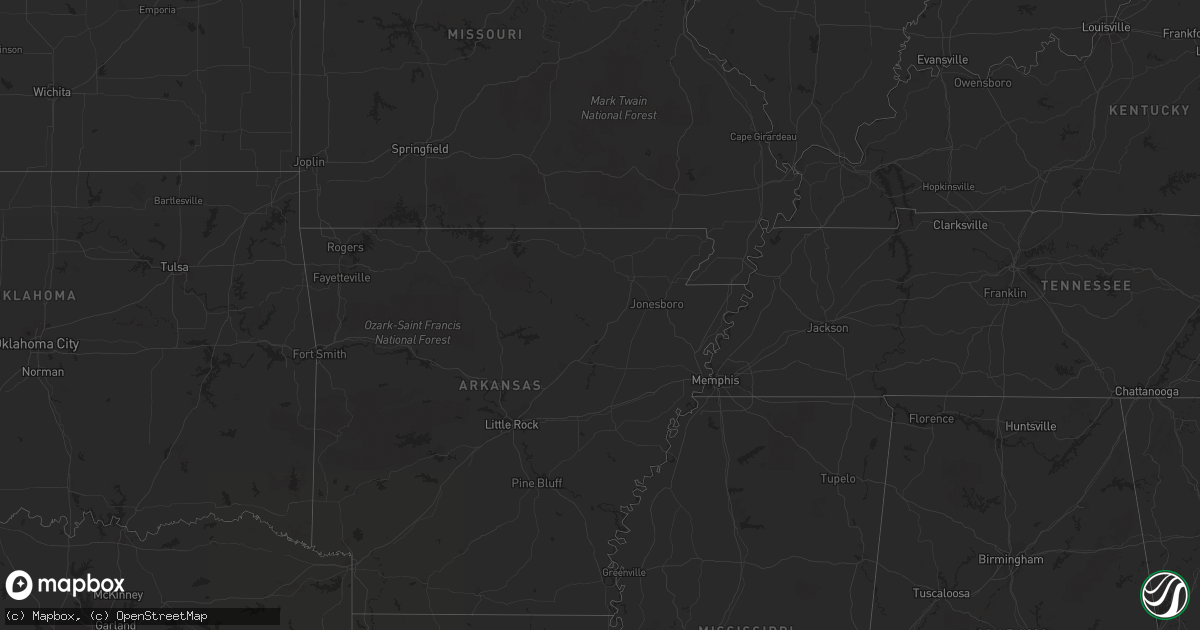
Hail Map on May 10, 2012
Get this storm
May 10 map
$229
one time, instant access
Download today. No call, no setup
Keep the $229
Bought the map and want the full workflow? Apply the entire $229 to a subscription within 7 days. None of it is wasted.
Every map, not just this one
This buys you this map. Subscription and you get every map we run, in the markets you choose from a few cities to whole states to nationwide. Plus real-time alerts the moment a storm fires.
Contact data
Name, contact info, occupancy, even credit band for addresses in the footprint. You go from where it hit to who to call.
Become the source they trust
Unlimited branding weather history reports on demand. You already have the documented answer ready for the property owner, and you are the one who showed up with it.
Property data and RoofTrace estimates
Pull up any address you have got, its value and the exact code rules for that jurisdiction, straight from One Click Code. Then RoofTrace estimates the squares, pitch, and roof value, priced the way you price.
States Impacted by Hail Map on May 10, 2012
Storm reports
Texas
| Date | Description |
|---|---|
| 05/10/20126:58 PM CDT | A local report indicates 65 MPH wind near 2 ESE CLEGG |
| 05/10/20126:58 PM CDT | A local report indicates 1.00 inch wind near 2 ESE CLEGG |
| 05/10/20126:50 PM CDT | Spotter recorded tornado on the ground ssw of fm 624. Tornado dissipated shortly before 7pm. |
| 05/10/20126:10 PM CDT | At the central fire station in beeville |
| 05/10/20125:48 PM CDT | Mostly nickel size with some larger chunks around golf ball size. |
| 05/10/20125:40 PM CDT | Initially size of hail was penny size then increased to golfball size hail |
| 05/10/20125:24 PM CDT | Brief tornado touchdown at and near weimar high school. Scoreboard damaged and train derailed. No injuries reported per dps. Time is estimated via radar. |
| 05/10/20125:05 PM CDT | At garzas grocery in george west |
| 05/10/20125:00 PM CDT | Public reports of a train derailed in weimar were called into the newsroom. Possible tornado. |
| 05/10/20124:50 PM CDT | Isolated baseball...mostly golf ball to hen egg size. |
| 05/10/20123:24 PM CDT | Larger hail now at mustang island state park. |
| 05/10/20123:15 PM CDT | Dps trooper witnessed small tornado west of hwy 183 |
| 05/10/20123:12 PM CDT | At mustang island state park |
| 05/10/20122:57 PM CDT | Hail at the corpus christi naval air station |
| 05/10/20122:53 PM CDT | A local report indicates 60 MPH wind near CC NAS |
| 05/10/20122:32 PM CDT | Breifly on ground |
| 05/10/20122:23 PM CDT | Golf ball hail near highway 16. |
| 05/10/20122:16 PM CDT | A local report indicates 1.75 inch wind near 2 N CHAPMAN RANCH |
| 05/10/20122:06 PM CDT | A local report indicates 1.00 inch wind near CHAPMAN RANCH |
| 05/10/20121:55 PM CDT | Shed blown down and large tree limbs down as well. |
| 05/10/20121:52 PM CDT | Fire chief reported roofs damaged...trees damaged...and powerlines and power poles blown down just south of stockdale |
| 05/10/20121:52 PM CDT | A local report indicates 60 MPH wind near 5 W CHAPMAN RANCH |
| 05/10/20121:51 PM CDT | Small rope tornado was down for about a minute...has lifted |
| 05/10/20121:48 PM CDT | Report of tornado...unconfirmed...magnitude unknown. |
| 05/10/20121:25 PM CDT | A local report indicates 1.00 inch wind near 3 W KOSCIUSKO |
| 05/10/20121:22 PM CDT | Fire chief reported roofs damaged...trees damaged...and powerlines and power poles blown down just south of stockdale |
| 05/10/201212:54 PM CDT | One home lost roof... Another home had roof damage... A line of trees broken as base... Power poles and power lines down. Reported by east concho fd. |
| 05/10/201212:50 PM CDT | 30ft pine tree snapped approx 10ft up the tree. Dime size hail was also observed. |
| 05/10/201212:45 PM CDT | West side of kingsville |
| 05/10/201212:42 PM CDT | 6th and king street |
| 05/10/201212:40 PM CDT | Report of tornado near ricardo. Magnitude unknown at this time. |
| 05/10/201212:34 PM CDT | Three tractor trailers were overturned due to high winds. In addition... Various farm equipment was also overturned. |
| 05/10/201212:25 PM CDT | Extensive crop damage in wilson county |
| 05/10/201211:00 AM CDT | Reported by brisco unit prison officials |
| 05/10/201210:34 AM CDT | Mobile home flipped near woodward on ranch rd 469. Possible people trapped inside. |
| 05/10/20126:35 AM CDT | International boundary and water commission employee reported tornado dropped halfway to the ground twice in the immediate vicinity of laureles. |
| 05/10/20123:40 AM CDT | Public reported multiple touchdowns of a lightning-illuminated small tornado in a field on fm 508 near rio hondo. Crop debris was seen. |
| 05/10/20123:16 AM CDT | Brief touchdown at single family home in southeast san benito. Roof tiles blown off...cyclone fences down...boat and trailer flipped over...carport heavily damaged...se |
| 05/10/20122:30 AM CDT | Powerlines reported blown down between west end of galveston island into downtown galveston island per police dept. |
| 05/10/20122:13 AM CDT | Wind estimates in excess of 70 mph at highway 35 and highway 288. |
| 05/10/201212:50 AM CDT | Trees blown over in a residential area in matagorda. |
| 05/10/201212:11 AM CDT | Damage to campers and rvs along lane rd between seadrift and port oconnor. Also damage to a bait shop. |
| 05/10/201212:00 AM CDT | Jim hogg county sheriff department reports tornado briefly touched down at the intersection of highway 16 and fm 649 in the vicinity of randado. |
| 05/09/201211:46 PM CDT | Survey determined straight line winds of approx 60 mph struck a small community in rural eastern victoria county approx 13 miles south of inez on fm 444. One barn was d |
| 05/09/201211:46 PM CDT | Survey estimated straight line winds of approx 90 mph struck a mobile home parke on lane road approx 5 miles east of seadrift. One mobile home was flipped and destroyed |
| 05/09/201211:34 PM CDT | Tornado reported to have destroyed a whole barn. |
| 05/09/201211:28 PM CDT | Sheriffs office reported quarter sized hail. |
| 05/09/201211:25 PM CDT | Many trees down with damage to several mobile homes |
| 05/09/201211:22 PM CDT | Trained spotter estimated wind gusts of 65 to 70 mph in downtown zapata at the intersection of 5th ave and lincoln st. |
| 05/09/201211:20 PM CDT | Quarter size hail. Specific location within city unknown. |
| 05/09/201211:09 PM CDT | Estimated 60 to 70 mph winds in fulton from ms state university chase team. Transformers also flashed. |
| 05/09/201211:00 PM CDT | Estimated 70 to 80 mph straight line winds struck a narrow corridor in fulton between fm 3036 an w mesquite st causing widespread large tree damage. A mobile home lost |
| 05/09/201210:52 PM CDT | Tornado touched down in an open farm field east of levien rd. Traveled east crossing gin rd snapping 5 utility poles and blowing the roof off a shed. Tornado dissipated |
| 05/09/201210:46 PM CDT | Numerous trees down with debris in the streets |
| 05/09/201210:40 PM CDT | Reported from residence near yorktown and saratoga streets. |
| 05/09/201210:40 PM CDT | A local report indicates 60 MPH wind near PORTLAND |
| 05/09/201210:32 PM CDT | Grain elevator and houses damaged along 181 between sinton and taft. |
| 05/09/201210:30 PM CDT | Nueces delta measured wind gust |
| 05/09/201210:27 PM CDT | Quarter size hail falling at nws office. |
| 05/09/201210:20 PM CDT | Tornado touched down in open field 2 miles se of corpus christi international airport. Traveled southeast snapping utility poles in front of clear channel radio station |
| 05/09/201210:18 PM CDT | Heavy damage to the roof of a storage place |
| 05/09/201210:15 PM CDT | Easily 70 mph and splitting trees in the calallen area |
| 05/09/201210:10 PM CDT | Car wash was destroyed near calallen high school...farm road 624 and wood river drive. |
| 05/09/201210:09 PM CDT | A local report indicates 60 MPH wind near ROBSTOWN |
| 05/09/20129:21 PM CDT | A local report indicates 1.00 inch wind near MATHIS |
| 05/09/20129:01 PM CDT | Winds gusts to 50 mph. |
| 05/09/20128:53 PM CDT | Possible tornado...several residents claim there was a brief touchdown. |
| 05/09/20128:36 PM CDT | A local report indicates 1.00 inch wind near 6 SW FREER |
| 05/09/20128:35 PM CDT | Powerlines down due to fallen trees. |
| 05/09/20128:21 PM CDT | A local report indicates 60 MPH wind near 30 SW FREER |
| 05/09/20128:00 PM CDT | A local report indicates 1.25 inch wind near CLEGG |
| 05/09/20127:27 PM CDT | 80 pound hay rings were moved - 10 miles east of 28 mile marker on highway 35 |
| 05/09/20127:20 PM CDT | Or about 6 miles sw of clegg |
| 05/09/20127:07 PM CDT | Callihan ranch near 28 mile marker on highway 35 - broken car windows occurred with the large hail |
Cities Impacted by Hail Map on May 10, 2012
- Kingsville, TX
- Belle Glade, FL
- Laredo, TX
- Dilley, TX
- George West, TX
- Cotulla, TX
- Tilden, TX
- Victoria, TX
- Goliad, TX
- San Ygnacio, TX
- Zapata, TX
- Beeville, TX
- Boerne, TX
- Quemado, TX
- Yoakum, TX
- Shiner, TX
- Del Rio, TX
- Rocksprings, TX
- Poth, TX
- Pleasanton, TX
- Falls City, TX
- Smiley, TX
- Floresville, TX
- Gillett, TX
- Stockdale, TX
- Whitsett, TX
- Jourdanton, TX
- Calliham, TX
- Three Rivers, TX
- Jupiter, FL
- West Palm Beach, FL
- Hobe Sound, FL
- Loxahatchee, FL
- Encinal, TX
- Dryden, TX
- Fort Stockton, TX
- Blanco, TX
- Johnson City, TX
- Kendalia, TX
- Comfort, TX
- San Diego, TX
- Freer, TX
- Orange Grove, TX
- Concepcion, TX
- Runge, TX
- Nordheim, TX
- Yorktown, TX
- Cuero, TX
- San Angelo, TX
- Los Fresnos, TX
- San Benito, TX
- Rio Hondo, TX
- Crystal City, TX
- Big Wells, TX
- Carrizo Springs, TX
- Catarina, TX
- Asherton, TX
- Batesville, TX
- La Pryor, TX
- Pearsall, TX
- Mathis, TX
- Sandia, TX
- Taft, TX
- San Antonio, TX
- Von Ormy, TX
- Guerra, TX
- Hebbronville, TX
- Pflugerville, TX
- Cedar Park, TX
- Round Rock, TX
- Leander, TX
- Austin, TX
- Eagle Pass, TX
- Fayetteville, TX
- Weimar, TX
- Ellinger, TX
- Port Aransas, TX
- Robstown, TX
- Bishop, TX
- Corpus Christi, TX
- Riviera, TX
- Sinton, TX
- Comstock, TX
- Alice, TX
- Junction, TX
- Roosevelt, TX
- Sonora, TX
- Christine, TX
- Karnes City, TX
- Woodsboro, TX
- Brownsville, TX
- Rio Grande City, TX
- Santa Elena, TX
- Marathon, TX
- Hidalgo, TX
- Mcallen, TX
- Pharr, TX
- San Juan, TX
- Alamo, TX
- Portland, TX
- Skidmore, TX
- Realitos, TX
- Odem, TX
- Kenedy, TX
- Gregory, TX
- Mirando City, TX
- Campbellton, TX
- Hobson, TX
- Bruni, TX
- Oilton, TX
- Uvalde, TX
- Roma, TX
- Gettysburg, SD
- Charlotte, TX
- Ozona, TX
- Stonewall, TX
- Nixon, TX
- Aransas Pass, TX
- Ingleside, TX
- Wrightsboro, TX
- Fowlerton, TX
- Gonzales, TX
- Bayside, TX
- Ecleto, TX
- Somerset, TX
- Mission, TX
- Donna, TX
- Odessa, TX
- Edinburg, TX
- Port Isabel, TX
- Harlingen, TX
- San Perlita, TX
- Crane, TX
- Midkiff, TX
- Fredericksburg, TX
- Round Mountain, TX
- Spicewood, TX
- Hunt, TX
- Medina, TX
- Dripping Springs, TX
- Hye, TX
- Schulenburg, TX
- Leakey, TX
- Rio Frio, TX
- Delmita, TX
- Goldsmith, TX
- Tynan, TX
- Poteet, TX
- Eldorado, TX