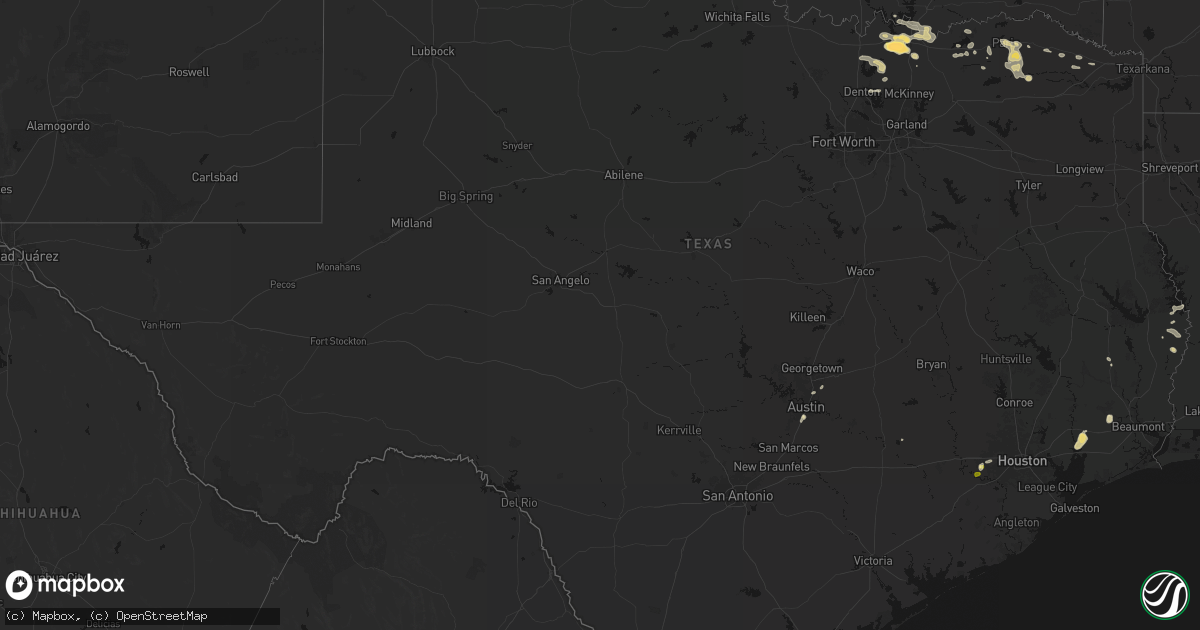
Hail Map in Texas on May 9, 2026
Get this storm
May 9 map
$229
one time, instant access
Download today. No call, no setup
Keep the $229
Bought the map and want the full workflow? Apply the entire $229 to a subscription within 7 days. None of it is wasted.
Every map, not just this one
This buys you this map. Subscription and you get every map we run, in the markets you choose from a few cities to whole states to nationwide. Plus real-time alerts the moment a storm fires.
Contact data
Name, contact info, occupancy, even credit band for addresses in the footprint. You go from where it hit to who to call.
Become the source they trust
Unlimited branding weather history reports on demand. You already have the documented answer ready for the property owner, and you are the one who showed up with it.
Property data and RoofTrace estimates
Pull up any address you have got, its value and the exact code rules for that jurisdiction, straight from One Click Code. Then RoofTrace estimates the squares, pitch, and roof value, priced the way you price.
Storm reports in Texas
Texas
| Date | Description |
|---|---|
| 05/09/20266:48 PM CDT | Tennis ball size hail reported 1 mile east of the intersection of highways 152 and 592 along highway 152. |
| 05/09/20266:41 PM CDT | Report near intersection of county road 22 and highway 152. |
| 05/09/20266:41 PM CDT | Report of golf ball size hail eat of wheeler along tx highway 152. |
| 05/09/20266:30 PM CDT | Golf ball size hail reported near intersection of county road 18 and county road j. |
| 05/09/20263:58 PM CDT | Large uprooted tree in mountain city on social media. Time estimated on radar. |
| 05/09/20263:45 PM CDT | Uprooted tree in the whispering hollow subdivision. Time estimated via radar. |
| 05/09/20263:38 PM CDT | Emergency manager reports tree down blocking the road at 11500 block of old san antonio rd. Time estimated from radar. |
| 05/09/20263:38 PM CDT | Large snapped oak tree limbs of at least 6 to 12 inches in diameter at memorial miniature golf and wwii museum in buda. Time estimated via radar. |
| 05/09/20262:20 PM CDT | Mping report... In addition... Received photo from broadcast media with stones ranging from penny to quarter size near pflugerville. |
| 05/09/202611:05 AM CDT | Mesonet station xspp spiw park. |
| 05/09/202611:00 AM CDT | Mesonet station dw1996 laguna vista. |
| 05/09/202610:30 AM CDT | Corrects previous tstm wnd dmg report from 2.5 nnw los fresnos. Public shared video of roof being blown off of home in laureles... Tx at 10:30 am. |
| 05/09/202610:30 AM CDT | Public shared video of roof being blown off of home in laureles... Tx at 10:30 am. |
| 05/09/202610:30 AM CDT | Mesonet station twb79 russell farms. |
| 05/09/202610:25 AM CDT | *** 2 inj *** corrects previous tstm wnd dmg report from 4 ese san benito. Corrects previous tstm wnd dmg report from 4 ese san benito. Emergency management reported a |
| 05/09/202610:25 AM CDT | *** 2 inj *** corrects previous tstm wnd dmg report from 4 ese san benito. Emergency management reported a destroyed mobile home with 2 injuries... No fatalities... 4 m |
| 05/09/202610:19 AM CDT | Public reported a large tree snapped in half near mariposa ln and treasure hills blvd southeast of harlingen... Tx. |
| 05/09/202610:19 AM CDT | Corrects previous tstm wnd dmg report from 2.5 ese harlingen. Public reported a large tree snapped in half near mariposa ln and treasure hills blvd southeast of harling |
| 05/09/202610:07 AM CDT | Corrects previous tstm wnd dmg report from 3.5 s harlingen. Public reported downed telephone poles on s. Ed carey dr. Radar estimated time. |
| 05/09/202610:07 AM CDT | Corrects previous tstm wnd dmg report from 2.5 sse harlingen. Public reported tall signs... Vehicles... And canopied buildings damaged outside of a credit union and hom |
| 05/09/202610:07 AM CDT | Public reported downed telephone poles on s. Ed carey dr. Radar estimated time. |
| 05/09/202610:07 AM CDT | Public reported tall signs... Vehicles... And canopied buildings damaged outside of a credit union and home improvement store around 2.5 miles sse of harlingen. |
| 05/09/20269:20 AM CDT | Corrects previous tstm wnd dmg report from .75 s san juan. Public reported large tree limb down near lincoln and nebraska roads in san juan... Tx. |
| 05/09/20269:20 AM CDT | Public reported large tree limb down near lincoln and nebraska roads in san juan... Tx. |
| 05/09/20269:14 AM CDT | Asos station kmfe mcallen. |
| 05/09/20266:43 AM CDT | A local report indicates 1.00 inch wind near Follett |
| 05/09/20266:28 AM CDT | A photo was taken around 0710cdt of hail that was still on the ground from the storm that passed through. Photo was then submitted to an emergency manager. Time of lsr |
| 05/09/20263:10 AM CDT | Spotter reports 2 inch hail near sherman. |
| 05/08/20267:13 PM CDT | Multiple rounds of hail were reported near cinco ranch... Including quarter size hail scattered among penny and nickel size hail. |
All States Impacted by Hail Map on May 9, 2026
Cities Impacted by Hail Map on May 9, 2026
- Roma, TX
- Carriere, MS
- Picayune, MS
- Rio Grande City, TX
- Kiln, MS
- Perkinston, MS
- Mcallen, TX
- Pharr, TX
- Alamo, TX
- Donna, TX
- San Juan, TX
- San Benito, TX
- Los Fresnos, TX
- Port Isabel, TX
- South Padre Island, TX
- Clarkston, MI
- Austin, TX
- Pflugerville, TX
- Manor, TX
- Bunnell, FL
- Rawlins, WY
- Burkeville, TX
- Wiergate, TX
- Hanna, WY
- Newton, TX
- Edgewater, FL
- Oak Hill, FL
- New Smyrna Beach, FL
- Fayetteville, TX
- Sweetwater, OK
- Hemphill, TX
- Sayre, OK
- Cheyenne, OK
- Elk City, OK
- Miami, TX
- Canadian, TX
- Mobeetie, TX
- Colmesneil, TX
- Canute, OK
- Wheeler, TX
- Briscoe, TX
- Pine Bluffs, WY
- Bushnell, NE
- Saint Francis, KS
- Wray, CO
- Bosler, WY
- Foss, OK
- Kimball, NE
- New Raymer, CO
- Cordell, OK
- Dill City, OK
- Lewisville, AR
- Woodville, TX
- East Aurora, NY
- Stoneham, CO
- Bessie, OK
- Corn, OK
- Sour Lake, TX
- Katy, TX
- Richmond, TX
- Goodland, KS
- Cheyenne, WY
- Edson, KS
- Grover, CO
- Carpenter, WY
- Balko, OK
- Houston, TX
- Warren, TX
- Hillister, TX
- Hereford, CO
- Briggsdale, CO
- Liberty, TX
- Laverne, OK
- Sterling, CO
- Bradley, AR
- Sentinel, OK
- Follett, TX
- Shattuck, OK
- Colby, KS
- Merino, CO
- Atwood, CO
- Buffalo, OK
- Fargo, OK
- Erick, OK
- Freedom, OK
- Rocky, OK
- May, OK
- Gotebo, OK
- Otis, CO
- Akron, CO
- Hobart, OK
- Woodward, OK
- Gage, OK
- Fort Supply, OK
- Alva, OK
- Mountain View, OK
- Carnegie, OK
- Arnett, OK
- Carter, OK
- Sharon, OK
- Wallisville, TX
- Dayton, TX
- Fort Cobb, OK
- Yuma, CO
- Vici, OK
- Gracemont, OK
- Anadarko, OK
- Apache, OK
- Waynoka, OK
- Aline, OK
- Dacoma, OK
- Carmen, OK
- Cope, CO
- Joes, CO
- Eckley, CO
- Fletcher, OK
- Buffalo, NY
- Clarence, NY
- Bowmansville, NY
- Lancaster, NY
- Depew, NY
- Alden, NY
- Akron, NY
- Corfu, NY
- Batavia, NY
- East Pembroke, NY
- Alexander, NY
- Elgin, OK
- Delco, NC
- Riegelwood, NC
- Cement, OK
- Kirk, CO
- Vona, CO
- Vernon, CO
- Stratton, CO
- Idalia, CO
- Rosenberg, TX
- Ninnekah, OK
- Deer Trail, CO
- Lawton, OK
- Burlington, CO
- Bethune, CO
- Kiowa, CO
- Marlow, OK
- Leedey, OK
- Duncan, OK
- Cheyenne Wells, CO
- Cyril, OK
- Geronimo, OK
- Custer City, OK
- Butler, OK
- Taloga, OK
- Comanche, OK
- Walters, OK
- Waurika, OK
- Kanorado, KS
- Weskan, KS
- Arapahoe, CO
- Ringling, OK
- Loco, OK
- Hammon, OK
- Chickasha, OK
- Wilson, OK
- Rush Springs, OK
- Bokoshe, OK
- Keota, OK
- Whitesboro, TX
- Sadler, TX
- Hendrix, OK
- Colbert, OK
- Lookeba, OK
- Denison, TX
- Sherman, TX
- Pottsboro, TX
- Minco, OK
- Binger, OK
- Spiro, OK
- Pocasset, OK
- Bells, TX
- Savoy, TX
- Muldrow, OK
- Gans, OK
- Telephone, TX
- Amber, OK
- Hinton, OK
- Ravenna, TX
- Dodd City, TX
- Windom, TX
- Honey Grove, TX
- Calumet, OK
- Bonham, TX
- Paris, TX
- Union City, OK
- El Reno, OK
- Blossom, TX
- Petty, TX
- Brookston, TX
- Sallisaw, OK
- Roxton, TX
- Pattonville, TX
- Howe, TX
- Deport, TX
- Detroit, TX
- Cooper, TX
- Pecan Gap, TX
- Gainesville, TX
- Lake Creek, TX
- Clarksville, TX
- Sulphur Bluff, TX
- Talco, TX
- Valley View, TX
- Avery, TX
- Collinsville, TX
- Tioga, TX
- Annona, TX
- Pilot Point, TX
- De Kalb, TX
- Tuttle, OK
- Blanchard, OK
- Aubrey, TX
- Celina, TX
- Little Elm, TX
- Purcell, OK
- Washington, OK
- Cartwright, OK
- Gruver, TX
- Yukon, OK
- Guymon, OK
- Booker, TX
- Hardesty, OK
- Kingston, OK
- Tom Bean, TX
- Whitewright, TX
- Spearman, TX
- Van Alstyne, TX


