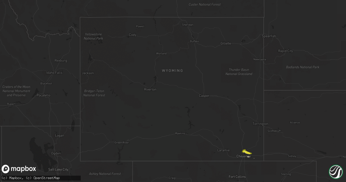
Hail Map in Wyoming on May 6, 2019
Get this storm
May 6 map
$229
one time, instant access
Download today. No call, no setup
Keep the $229
Bought the map and want the full workflow? Apply the entire $229 to a subscription within 7 days. None of it is wasted.
Every map, not just this one
This buys you this map. Subscription and you get every map we run, in the markets you choose from a few cities to whole states to nationwide. Plus real-time alerts the moment a storm fires.
Contact data
Name, contact info, occupancy, even credit band for addresses in the footprint. You go from where it hit to who to call.
Become the source they trust
Unlimited branding weather history reports on demand. You already have the documented answer ready for the property owner, and you are the one who showed up with it.
Property data and RoofTrace estimates
Pull up any address you have got, its value and the exact code rules for that jurisdiction, straight from One Click Code. Then RoofTrace estimates the squares, pitch, and roof value, priced the way you price.
Storm reports in Wyoming
Wyoming
| Date | Description |
|---|---|
| 05/06/20195:30 PM CDT | Various size hail up to half dollar fell for 18 minutes. |
| 05/06/20195:00 PM CDT | Brief touchdown reported but quickly lifted shortly after. |
| 05/06/20194:50 PM CDT | A local report indicates 1.00 inch wind near 6 NNW NORTH CHEYENNE |
| 05/06/20193:30 PM CDT | A local report indicates 1.00 inch wind near 6 NNW NORTH CHEYENNE |
| 05/06/201912:35 AM CDT | At 534 PM MDT, a severe thunderstorm was located near Carpenter, or 18 miles east of Cheyenne, moving east at 15 mph. HAZARD...Quarter size hail. SOURCE...Radar indicated. IMPACT...Damage to vehicles is expected. Locations impacted include... Carpenter.This includes Interstate 80 in Wyoming between mile markers 378 and386. |
| 05/05/201911:55 PM CDT | At 454 PM MDT, severe thunderstorms were located along a line extending from 6 miles west of Hanna to 6 miles northwest of Bow River Campground, moving east at 25 mph. HAZARD...60 mph wind gusts and quarter size hail. SOURCE...Radar indicated. IMPACT...Hail damage to vehicles is expected. Expect wind damage to roofs, siding, and trees. Locations impacted include... Hanna, Medicine Bow, Elk Mountain, Battle Mountain and Arlington. This includes Interstate 80 in Wyoming between mile markers 240 and278. |
| 05/05/201911:37 PM CDT | At 437 PM MDT, a severe thunderstorm was located near Hillsdale, or 13 miles east of Cheyenne, moving southeast at 15 mph. HAZARD...Quarter size hail. SOURCE...Radar indicated. IMPACT...Damage to vehicles is expected. Locations impacted include... Burns, Hillsdale and Carpenter. This includes Interstate 80 in Wyoming between mile markers 372 and392. |
| 05/05/201910:38 PM CDT | At 338 PM MDT, a severe thunderstorm was located near North Cheyenne, or 11 miles north of Cheyenne, moving east at 30 mph. HAZARD...Quarter size hail. SOURCE...Radar indicated. IMPACT...Damage to vehicles is expected. Locations impacted include... Ranchettes.This includes Interstate 25 in Wyoming between mile markers 18 and26. This warning replaces the previous severe thunderstorm warning for this area. |
| 05/05/201910:19 PM CDT | At 319 PM MDT, a severe thunderstorm was located near North Cheyenne, or 10 miles north of Cheyenne, moving east at 25 mph. HAZARD...Quarter size hail. SOURCE...Radar indicated. IMPACT...Damage to vehicles is expected. Locations impacted include... Ranchettes.This includes Interstate 25 in Wyoming between mile markers 17 and27. |
| 05/05/20199:29 PM CDT | At 228 PM MDT, a severe thunderstorm was located near North Cheyenne, or 10 miles north of Cheyenne, moving northeast at 25 mph. HAZARD...Quarter size hail. SOURCE...Trained weather spotters. At 228 PM, a weather spotter reported quarter size hail 10 miles north of Cheyenne. IMPACT...Damage to vehicles is expected. Locations impacted include... Cheyenne, North Cheyenne and Ranchettes. This includes Interstate 25 in Wyoming between mile markers 14 and26. |
All States Impacted by Hail Map on May 6, 2019
Cities Impacted by Hail Map on May 6, 2019
- Harveyville, KS
- Maple Hill, KS
- Lebanon, KS
- Rozel, KS
- Muleshoe, TX
- Dwight, KS
- Alta Vista, KS
- Council Grove, KS
- Ulysses, KS
- Satanta, KS
- Larned, KS
- Kinsley, KS
- Lewis, KS
- Garfield, KS
- Billings, MO
- Marionville, MO
- Woodbine, KS
- Junction City, KS
- White City, KS
- Abilene, KS
- Bennington, KS
- Enterprise, KS
- Minneapolis, KS
- Solomon, KS
- Talmage, KS
- Chapman, KS
- Allen, KS
- Mcpherson, KS
- Galva, KS
- Canton, KS
- Roxbury, KS
- Gypsum, KS
- Reading, KS
- Osage City, KS
- Kim, CO
- Hugoton, KS
- Rolla, KS
- Canyon, TX
- Strong City, KS
- Neosho, MO
- Diamond, MO
- Seneca, MO
- Joplin, MO
- Hudson, KS
- St John, KS
- Durham, KS
- Armstrong, TX
- Osawatomie, KS
- Milford, KS
- Scranton, KS
- Manhattan, KS
- Pomona, KS
- Williamsburg, KS
- Paola, KS
- Vassar, KS
- Fontana, KS
- Quenemo, KS
- Eskridge, KS
- Alma, KS
- Lyndon, KS
- Princeton, KS
- Ottawa, KS
- Fort Riley, KS
- Lane, KS
- Burlingame, KS
- Riley, KS
- Wakefield, KS
- Rantoul, KS
- Hereford, TX
- Friona, TX
- Summerfield, TX
- Bovina, TX
- Scammon, KS
- Weir, KS
- Burlington, OK
- Great Bend, KS
- Ellinwood, KS
- Amarillo, TX
- Belleville, KS
- Riverton, KS
- Galena, KS
- Columbus, KS
- Superior, NE
- Red Cloud, NE
- Guide Rock, NE
- Fredonia, KS
- Kit Carson, CO
- Buffalo, KS
- Bloomington, NE
- Upland, NE
- Hildreth, NE
- Wildorado, TX
- Osborne, KS
- Kiowa, KS
- Hardy, NE
- Ruskin, NE
- Mankato, KS
- Inavale, NE
- Nelson, NE
- Lindsborg, KS
- Riverton, NE
- Franklin, NE
- Smith Center, KS
- Andover, KS
- Augusta, KS
- Scandia, KS
- Courtland, KS
- Walker, MO
- Harwood, MO
- Nevada, MO
- Quapaw, OK
- Baxter Springs, KS
- Simla, CO
- Agate, CO
- Ramah, CO
- Inman, KS
- Hartford, KS
- Burlington, KS
- Keyes, OK
- Richfield, KS
- Goodwell, OK
- Walsh, CO
- Elkhart, KS
- Lincolnville, KS
- Neodesha, KS
- Humboldt, KS
- Neosho Rapids, KS
- Altoona, KS
- Burns, KS
- Olpe, KS
- Eureka, KS
- Goessel, KS
- Neal, KS
- Cedar Point, KS
- Thayer, KS
- Marquette, KS
- Americus, KS
- Piedmont, KS
- Galesburg, KS
- Yates Center, KS
- Chanute, KS
- Matfield Green, KS
- Cottonwood Falls, KS
- Hamilton, KS
- Elbing, KS
- El Dorado, KS
- Walton, KS
- Fall River, KS
- Elmdale, KS
- Neosho Falls, KS
- Lebo, KS
- Peabody, KS
- Madison, KS
- Virgil, KS
- Erie, KS
- Marion, KS
- Emporia, KS
- Hillsboro, KS
- Cassoday, KS
- Newton, KS
- Toronto, KS
- Florence, KS
- Severy, KS
- Tampa, KS
- Piqua, KS
- Lehigh, KS
- Gridley, KS
- Moundridge, KS
- Waverly, KS
- Benedict, KS
- Le Roy, KS
- Hope, KS
- Jamestown, KS
- Cheyenne, WY
- Kensington, KS
- Phillipsburg, KS
- Agra, KS
- Beloit, KS
- Guymon, OK
- Latham, KS
- Leon, KS
- Norway, KS
- Formoso, KS
- Highlandville, MO
- Ozark, MO
- Fort Stockton, TX
- Concordia, KS
- Ellis, KS
- Blue Rapids, KS
- Randolph, KS
- Waterville, KS
- Leonardville, KS
- Parsons, KS
- Granada, CO
- Mount Vernon, MO
- Assaria, KS
- Brookville, KS
- Salina, KS
- Mound Valley, KS
- Cherryvale, KS
- Saint Paul, KS
- Dennis, KS
- Johnson, KS
- Grenola, KS
- Sudan, TX
- Texhoma, OK
- Gruver, TX
- Auburn, KS
- Topeka, KS
- Mahaska, KS
- Sedalia, CO
- Lakin, KS
- Deerfield, KS
- Holcomb, KS
- Burdett, KS
- Miami, OK
- Falcon, MO
- Lebanon, MO
- Butler, MO
- Wakarusa, KS
- McFarland, KS
- Wamego, KS
- Carbondale, KS
- Paxico, KS
- Herington, KS
- Clyde, KS
- Clifton, KS
- Dodge City, KS
- Hebron, NE
- Reynolds, NE
- Hubbell, NE
- Fort Davis, TX
- Limon, CO
- Bladen, NE
- Campbell, NE
- Blue Hill, NE
- Catharine, KS
- Plainville, KS
- Wilsey, KS
- Tescott, KS
- Kanopolis, KS
- Ellsworth, KS
- New Cambria, KS
- Richmond, KS
- Hermitage, MO
- Pittsburg, MO
- Hugo, CO
- Manter, KS
- Grovespring, MO
- Lynchburg, MO
- Uniontown, KS
- Walnut, KS
- Hepler, KS
- Fort Scott, KS
- Girard, KS
- Farlington, KS
- Arcadia, KS
- Jetmore, KS
- Sublette, KS
- Glasco, KS
- Atlanta, KS
- Cambridge, KS
- Narka, KS
- Munden, KS
- Homestead, FL
- Miami, FL
- Hanston, KS
- Hillsdale, WY
- Sylvia, KS
- Admire, KS
- Garden City, KS
- Broomfield, CO
- Alice, TX
- Belvue, KS
- Saint George, KS
- Overbrook, KS
- Towanda, KS
- Derby, KS
- Rose Hill, KS
- Douglass, KS
- Wichita, KS
- Fairland, OK
- Sylvan Grove, KS
- Hunter, KS
- Republic, KS
- Brighton, CO
- Thornton, CO
- Denver, CO
- Cuba, KS
- Colony, KS
- Parker, CO
- Carl Junction, MO
- Mullinville, KS
- Clay Center, KS
- Cimarron, KS
- Ingalls, KS
- Lyons, KS
- Mulberry, KS
- Chetopa, KS
- Haviland, KS
- Garnett, KS
- Greeley, KS
- Parker, KS
- Longford, KS
- Hutchinson, KS
- Sterling, KS
- Beaumont, KS
- Rockville, MO
- Appleton City, MO
- Tipton, KS
- Welch, OK
- Burr Oak, KS
- Foster, MO
- Plains, KS
- Kingsville, TX
- Elizabeth, CO
- Kiowa, CO
- Barnard, KS
- Burrton, KS
- Jewell, KS
- Green, KS
- Morganville, KS
- Agenda, KS
- Minneola, KS
- Almena, KS
- Westphalia, KS
- McCune, KS
- Esbon, KS
- Chester, NE
- Liberal, KS
- Kismet, KS
- Moscow, KS
- Oswego, KS
- Kansas City, MO
- Burdick, KS
- Holyrood, KS
- Wilson, KS
- Athol, KS
- Byron, NE
- Lorraine, KS
- Ensign, KS
- Little River, KS
- Windom, KS
- Matheson, CO
- Raymond, KS
- Belpre, KS
- Pawnee Rock, KS
- Holly, CO
- Deshler, NE
- Webber, KS
- Simpson, KS
- Kanorado, KS
- Weaubleau, MO
- Wheatland, MO
- Pleasanton, KS
- Hume, MO
- Syracuse, KS
- Utica, KS
- Protection, KS
- Aurora, MO
- Dumas, TX
- Olsburg, KS
- Osceola, MO
- Collins, MO
- Nixa, MO
- Spokane, MO
- Picher, OK
- Elm Creek, NE
- Claflin, KS
- Bushton, KS
- Natoma, KS
- Westmoreland, KS
- Clever, MO
- Pittsburg, KS
- Dimmitt, TX
- Rich Hill, MO
- El Dorado Springs, MO
- Richards, MO
- Rock, KS
- Springfield, CO
- Carpenter, WY
- Liberty, MO
- Smithville, MO
- Campo, CO
- Vona, CO
- Ogallah, KS
- Palmer, KS
- Aurora, KS
- Naponee, NE
- Paradise, KS
- Happy, TX
- Boca Raton, FL
- Bucklin, KS
- Crane, MO
- Alma, NE
- Barnes, KS
- Sparta, MO
- Chadwick, MO
- Spearville, KS
- Burlington, CO
- Iola, KS
- Dearborn, MO
- Seibert, CO
- Littleton, CO
- Centerville, KS
- Fowler, KS
- Partridge, KS
- Garland, KS
- Arma, KS
- Redfield, KS
- Lamar, CO
- Fairbury, NE
- Pine, CO
- Buffalo Creek, CO
- Zapata, TX
- La Cygne, KS
- Miltonvale, KS
- Delphos, KS
- Caldwell, KS
- Deer Trail, CO
- Melvern, KS
- Masterson, TX
- Farwell, TX
- Lavaca, AR
- Charleston, AR
- Fort Smith, AR
- Overton, NE
- West Mineral, KS


