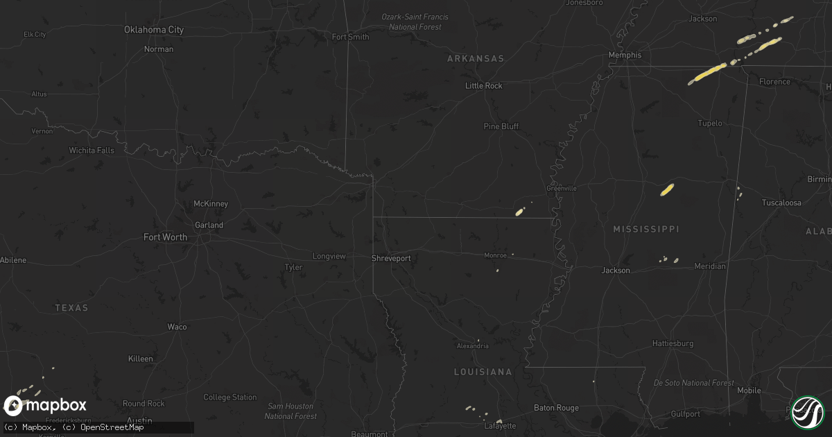
Hail Map in Tennessee on May 2, 2011
Get this storm
May 2 map
$229
one time, instant access
Download today. No call, no setup
Keep the $229
Bought the map and want the full workflow? Apply the entire $229 to a subscription within 7 days. None of it is wasted.
Every map, not just this one
This buys you this map. Subscription and you get every map we run, in the markets you choose from a few cities to whole states to nationwide. Plus real-time alerts the moment a storm fires.
Contact data
Name, contact info, occupancy, even credit band for addresses in the footprint. You go from where it hit to who to call.
Become the source they trust
Unlimited branding weather history reports on demand. You already have the documented answer ready for the property owner, and you are the one who showed up with it.
Property data and RoofTrace estimates
Pull up any address you have got, its value and the exact code rules for that jurisdiction, straight from One Click Code. Then RoofTrace estimates the squares, pitch, and roof value, priced the way you price.
Storm reports in Tennessee
Tennessee
| Date | Description |
|---|---|
| 05/02/20115:24 PM CDT | Lawrence county 911 reported trees donwed on jacks branch road near the natchez trace parkway. |
| 05/02/20115:05 PM CDT | Trees were reported downed on old highway 64 by the wayne county sheriffs department. |
| 05/02/20115:00 PM CDT | Trees were reported downed at a golf course in waynesboro by the wayesboro police department. |
| 05/02/20114:56 PM CDT | Quarter sized hail reported near waynesboro fire department. Winds estimated at 60 mph. |
| 05/02/20113:35 PM CDT | A local report indicates 1.00 inch wind near MICHIE |
Cities Impacted by Hail Map on May 2, 2011
- Morris Chapel, TN
- Weir, MS
- French Camp, MS
- Ackerman, MS
- Junction, TX
- Hamburg, AR
- Savannah, TN
- Carrollton, AL
- Corinth, MS
- Nashville, TN
- Clifton, TN
- Waynesboro, TN
- Collinwood, TN
- Lawrenceburg, TN
- Hohenwald, TN
- Bath Springs, TN
- Guys, TN
- Ripley, MS
- Tiplersville, MS
- Falkner, MS
- Ramer, TN
- Walnut, MS
- Michie, TN
- Voca, TX
- Mason, TX
- London, TX
- Portland, AR
- Beaumont, TX
- Kingston Springs, TN
- Pegram, TN
- Roseland, LA
- Oak Ridge, LA
- Forest, MS
- Counce, TN
- Eupora, MS
- Ethelsville, AL
- Rayne, LA
- Ashland City, TN
- Pineville, LA
- Lafayette, LA
- Scott, LA
- Lutts, TN
- Eunice, LA
- Monroe, LA
- Church Point, LA
- Branch, LA
- Decatur, MS
- Lawrence, MS
- Conehatta, MS
- Burns, TN
- Fairview, TN
- Bon Aqua, TN
- Hamshire, TX
- Winnie, TX
- Basile, LA


