Hail Map in Tionesta, PA on May 1, 2017
The weather event in Tionesta, PA on May 1, 2017 includes Hail map. 3 states and 41 cities were impacted and suffered possible damage. The total estimated number of properties impacted is 0.
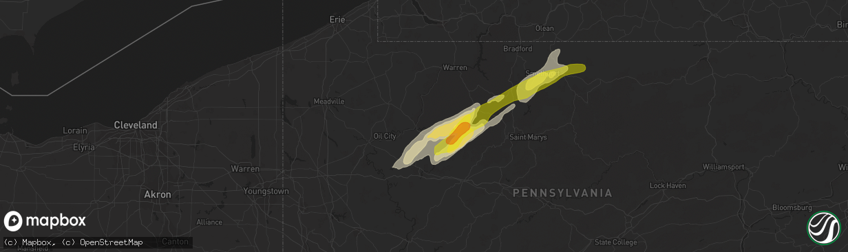
Hail
0
Estimated number of impacted properties by a 1.00" hail or larger0
Estimated number of impacted properties by a 1.75" hail or larger0
Estimated number of impacted properties by a 2.50" hail or largerStorm reports in Tionesta, PA
Tionesta, PA
| Date | Description |
|---|---|
| 05/01/20172:38 PM CDT | Trees down across route 666 |
| 05/01/20172:30 PM CDT | Multiple trees down in tionesta and endevour |
| 05/01/20172:27 PM CDT | A focused swath of convergent damage...comprised of snapped hardwood and softwood trees...was surveyed along red pine circle. A distinct track seemingly associated with |
All States Impacted by Hail Map on May 1, 2017
All Cities Impacted by Hail Map on May 1, 2017
- Allendale, SC
- Marienville, PA
- Tionesta, PA
- James City, PA
- Strattanville, PA
- Sigel, PA
- Sheffield, PA
- Marble, PA
- Vowinckel, PA
- Cranberry, PA
- Kane, PA
- Crown, PA
- Venus, PA
- Clarington, PA
- Shippenville, PA
- Clarion, PA
- Lickingville, PA
- Cooksburg, PA
- Fryburg, PA
- Kossuth, PA
- Knox, PA
- Leeper, PA
- Lucinda, PA
- Newington, GA
- Mount Jewett, PA
- Smethport, PA
- North Bend, PA
- Wilcox, PA
- Emlenton, PA
- Eldred, PA
- Turtlepoint, PA
- Port Allegany, PA
- Hazel Hurst, PA
- Denmark, SC
- Blackville, SC
- Cross Fork, PA
- Brookville, PA
- Ridgway, PA
- Crosby, PA
- Shinglehouse, PA
- Roulette, PA


