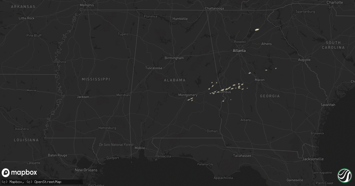
Hail Map in Alabama on April 27, 2017
Get this storm
April 27 map
$229
one time, instant access
Download today. No call, no setup
Keep the $229
Bought the map and want the full workflow? Apply the entire $229 to a subscription within 7 days. None of it is wasted.
Every map, not just this one
This buys you this map. Subscription and you get every map we run, in the markets you choose from a few cities to whole states to nationwide. Plus real-time alerts the moment a storm fires.
Contact data
Name, contact info, occupancy, even credit band for addresses in the footprint. You go from where it hit to who to call.
Become the source they trust
Unlimited branding weather history reports on demand. You already have the documented answer ready for the property owner, and you are the one who showed up with it.
Property data and RoofTrace estimates
Pull up any address you have got, its value and the exact code rules for that jurisdiction, straight from One Click Code. Then RoofTrace estimates the squares, pitch, and roof value, priced the way you price.
Storm reports in Alabama
Alabama
| Date | Description |
|---|---|
| 04/27/20176:00 PM CDT | *** 3 inj *** tree and structure damage in clayton. Trees fell on home. Three people slightly injured in home. |
| 04/27/20175:59 PM CDT | *** 3 inj *** tornado moved ne through downtown clayton. Damage consisted mainly of snapped/uprooted trees... With some structural damage primarily due to fallen trees. |
| 04/27/20174:18 PM CDT | Sporadic tree damage observed between walter spur and hwy 51. Tornado captured on video. Path length 1.2 miles and width 75 yards. Max winds 60-65 mph. |
| 04/27/20174:17 PM CDT | Tornado captured on video north of al 239 behind ventress correctional facility. |
| 04/27/201711:24 AM CDT | Numerous damage reports associated with persistent debris signature from kmxx. Corrected time. |
| 04/27/201710:24 AM CDT | Numerous damage reports associated with persistent debris signature from kmxx. 1124 cdt. |
| 04/27/20179:13 AM CDT | Damage photo indicating narrow area of convergent tree damage on stowers rd associated with debris signature from kmxx. |
| 04/27/20178:13 AM CDT | Damage photo indicating narrow area of convergent tree damage on stowers rd associated with debris signature from kmxx. 913 cdt. |
All States Impacted by Hail Map on April 27, 2017
Cities Impacted by Hail Map on April 27, 2017
- Junction City, GA
- Butler, GA
- Talbotton, GA
- Montgomery, AL
- Weskan, KS
- Sharon Springs, KS
- Bulger, PA
- Burgettstown, PA
- Cheyenne Wells, CO
- Coraopolis, PA
- Columbus, GA
- Midland, GA
- Upatoi, GA
- Waverly Hall, GA
- Box Springs, GA
- Sarver, PA
- Rayland, OH
- Smithfield, OH
- Cadiz, OH
- Weirton, WV
- Dillonvale, OH
- Follansbee, WV
- Imperial, PA
- Bloomingdale, OH
- Steubenville, OH
- Mingo Junction, OH
- Colliers, WV
- Saint Clairsville, OH
- Adena, OH
- Gibsonia, PA
- Calhan, CO
- Toronto, OH
- Richmond, OH
- Wexford, PA
- Freeport, PA
- Saxonburg, PA
- Pike Road, AL
- Bristol, TN
- Bristol, VA
- Syracuse, KS
- Sparta, GA
- Suffolk, VA
- Gainesville, GA
- Lula, GA
- Hugo, CO
- Union Springs, AL
- Forsyth, GA
- Flagler, CO
- Tribune, KS
- Milledgeville, GA
- Lafayette, AL
- Opelika, AL
- Auburn, AL
- Tarentum, PA
- Natrona Heights, PA
- Goodland, KS
- Alto, GA
- Russellton, PA
- Cheswick, PA
- Blountville, TN
- Richland, GA
- Kendall, KS
- Kanorado, KS
- Saint Francis, KS
- Phenix City, AL
- Salem, AL
- Bakerstown, PA
- Kittanning, PA
- Valencia, PA
- Allison Park, PA
- Cusseta, AL
- Valley, AL
- Smiths Station, AL
- Ramer, AL
- Bergholz, OH
- Scio, OH
- Amsterdam, OH
- Carrollton, OH
- Jewett, OH
- Omaha, GA
- Clinton, PA
- Langeloth, PA
- Salineville, OH
- Reynolds, GA
- Medina, OH
- Litchfield, OH
- North Royalton, OH
- Columbia Station, OH
- Brunswick, OH
- Strongsville, OH
- Spencer, OH
- Valley City, OH
- Lakin, KS


