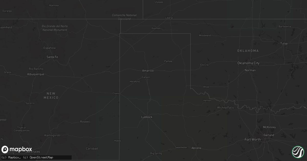
Hail Map in Mississippi on April 25, 2019
Get this storm
April 25 map
$229
one time, instant access
Download today. No call, no setup
Keep the $229
Bought the map and want the full workflow? Apply the entire $229 to a subscription within 7 days. None of it is wasted.
Every map, not just this one
This buys you this map. Subscription and you get every map we run, in the markets you choose from a few cities to whole states to nationwide. Plus real-time alerts the moment a storm fires.
Contact data
Name, contact info, occupancy, even credit band for addresses in the footprint. You go from where it hit to who to call.
Become the source they trust
Unlimited branding weather history reports on demand. You already have the documented answer ready for the property owner, and you are the one who showed up with it.
Property data and RoofTrace estimates
Pull up any address you have got, its value and the exact code rules for that jurisdiction, straight from One Click Code. Then RoofTrace estimates the squares, pitch, and roof value, priced the way you price.
Storm reports in Mississippi
Mississippi
| Date | Description |
|---|---|
| 04/25/20196:37 PM CDT | Corrects previous tstm wnd dmg report from madden. Part of a roof blown off a retirement home and several trees down. Ruled as a small downburst of thunderstorm winds. |
| 04/25/20196:36 PM CDT | This tornado began north of ms highway 488... Producing a tornadic debris signature on radar... And continued eastward across thaggard rd. At this location... The roof |
| 04/25/20195:25 PM CDT | Brief tornado in an open field a few miles east of limerick rd and south of highway 4. |
| 04/25/201912:45 PM CDT | Powerlines down along highway 63. |
| 04/25/201911:22 AM CDT | Numerous tree limbs broken with scattered trees snapped or uprooted.tornado began near the intersection of highway 603 and apache dr and traveled east-northeast lifting |
| 04/25/201911:22 AM CDT | Trees down along apache dr. Possible tornado. |
| 04/25/20197:44 AM CDT | At 1244 PM CDT, severe thunderstorms were located along a line extending from 7 miles southwest of Leakesville to 3 miles southeast of Lucedale to 7 miles north of Wade, moving east at 30 mph. HAZARD...60 mph wind gusts. SOURCE...Radar indicated. IMPACT...Expect damage to roofs, siding, and trees. Locations impacted include... Midtown Mobile, Citronelle, Lucedale, Chunchula, Gulfcrest, Semmes, Tanner Williams, I65 And I165, I65 And AL 158, I10 And I65, Mobile Regional Airport and Wilmer. |
| 04/25/20197:31 AM CDT | Corrects previous tstm wnd dmg report from 2 sw port gibson. A couple trees down on albena hill dr. |
| 04/25/20197:25 AM CDT | Corrects previous tstm wnd dmg report from 3 ene windsor ruins. A couple trees down along hwy 552. |
| 04/25/20197:12 AM CDT | Tree and powerlines down on north palestine road. |
| 04/25/20197:12 AM CDT | At 1212 PM CDT, a severe thunderstorm was located 14 miles east of Perkinston, or 15 miles east of Wiggins, moving northeast at 35 mph. HAZARD...60 mph wind gusts. SOURCE...Radar indicated. IMPACT...Expect damage to roofs, siding, and trees. Locations impacted include... Lucedale. |
| 04/25/20195:36 AM CDT | At 1036 AM CDT, a severe thunderstorm was located over New Era, or near Larto, moving northeast at 50 mph. HAZARD...Ping pong ball size hail and 60 mph wind gusts. SOURCE...Radar indicated. IMPACT...People and animals outdoors will be injured. Expect hail damage to roofs, siding, windows, and vehicles. Expect wind damage to roofs, siding, and trees. This severe thunderstorm will be near... Monterey around 1045 AM CDT. Frogmore around 1100 AM CDT. Ferriday and West Ferriday around 1105 AM CDT. Clayton, Spokane and Lee Bayou around 1115 AM CDT.Other locations impacted by this severe thunderstorm includeRidgecrest. |
| 04/25/20194:36 AM CDT | At 936 AM CDT, a severe thunderstorm was located over Pulaski, or near Morton, moving east at 50 mph. HAZARD...60 mph wind gusts and quarter size hail. SOURCE...Radar indicated. IMPACT...Hail damage to vehicles is expected. Expect wind damage to roofs, siding, and trees. This severe thunderstorm will be near... Homewood around 940 AM CDT. Forest around 945 AM CDT. Lawrence and Conehatta around 1000 AM CDT. Newton, Decatur and Stratton around 1010 AM CDT. Little Rock around 1020 AM CDT.Other locations impacted by this severe thunderstorm includePolkville, Lake and Sebastopol. |
| 04/25/20193:22 AM CDT | At 821 AM CDT, a severe thunderstorm was located near Simmesport, moving east at 35 mph. HAZARD...60 mph wind gusts. SOURCE...Radar indicated. IMPACT...Expect damage to roofs, siding, and trees. This severe thunderstorm will impact areas near the Old River Control Structure. |
| 04/25/20193:06 AM CDT | At 805 AM CDT, a severe thunderstorm was located over Plaucheville, or near Moreauville, moving east at 55 mph. HAZARD...60 mph wind gusts. SOURCE...Radar indicated. IMPACT...Expect damage to roofs, siding, and trees. Locations impacted include... Centreville, Woodville, Wakefield, Lettsworth, Spillman, Batchelor, Fort Adams, Dolorosa and Crosby. |
| 04/25/20192:46 AM CDT | At 746 AM CDT, severe thunderstorms were located along a line extending from near Reganton to near Hermanville to Pattison, moving east at 45 mph. HAZARD...60 mph wind gusts. SOURCE...Radar indicated. IMPACT...Expect damage to roofs, siding, and trees. Severe thunderstorms will be near... Carpenter and Newman around 755 AM CDT. Utica around 805 AM CDT. Dentville and Dry Grove around 815 AM CDT. Raymond and Bolton around 820 AM CDT. Clinton around 825 AM CDT. Jackson, Byram and Crystal Springs around 830 AM CDT. Terry around 840 AM CDT.Other locations impacted by these severe thunderstorms includeLearned. |
| 04/25/20191:48 AM CDT | At 648 AM CDT, severe thunderstorms were located along a line extending from 8 miles northwest of Lee Bayou to near West Ferriday to near Slocum, moving east at 45 mph. HAZARD...60 mph wind gusts. SOURCE...Radar indicated. IMPACT...Expect damage to roofs, siding, and trees. Severe thunderstorms will be near... Waterproof and Helena around 705 AM CDT. Sibley around 710 AM CDT. Church Hill around 715 AM CDT. St. Joseph, Lake Bruin and Kingston around 720 AM CDT. Cranfield around 730 AM CDT. |
| 04/25/20191:09 AM CDT | At 609 AM CDT, severe thunderstorms were located along a line extending from Midway to near Walters to near Marksville, moving east at 45 mph. HAZARD...60 mph wind gusts. SOURCE...Radar indicated. IMPACT...Expect damage to roofs, siding, and trees. Severe thunderstorms will be near... Walters around 615 AM CDT. Archie around 620 AM CDT. Aimwell and Manifest around 625 AM CDT. Jonesville and Sherwood around 630 AM CDT. Wildsville, Acme, Wallace Ridge and Enterprise around 635 AM CDT. Frogmore around 640 AM CDT. Ferriday, Slocum and West Ferriday around 650 AM CDT. Wisner, Clayton and Lee Bayou around 655 AM CDT.Other locations impacted by these severe thunderstorms includeHarrisonburg, Sicily Island and Ridgecrest. |
| 04/25/201912:14 AM CDT | At 513 AM CDT, severe thunderstorms were located along a line extending from near Greenwood to near Seven Pines to 6 miles north of Lexington, moving northeast at 45 mph. HAZARD...60 mph wind gusts. SOURCE...Radar indicated. IMPACT...Expect damage to roofs, siding, and trees. Severe thunderstorms will be near... Coila around 520 AM CDT. Malmaison around 525 AM CDT. North Carrollton around 530 AM CDT. Winona and Jefferson around 535 AM CDT. Vaiden around 540 AM CDT. Duck Hill and Elliott around 550 AM CDT. Sweatman and Poplar Creek around 555 AM CDT. Kilmichael, Misterton and Gore Springs around 600 AM CDT.Other locations impacted by these severe thunderstorms includeCarrollton. |
| 04/24/201911:46 PM CDT | At 446 AM CDT, severe thunderstorms were located along a line extending from near Thornton to near Yazoo City to 8 miles northwest of Phoenix, moving east at 30 mph. HAZARD...60 mph wind gusts and quarter size hail. SOURCE...Radar indicated. IMPACT...Hail damage to vehicles is expected. Expect wind damage to roofs, siding, and trees. Severe thunderstorms will be near... Yazoo City around 500 AM CDT. Benton and Tinsley around 515 AM CDT. Little Yazoo around 525 AM CDT. Myrleville around 540 AM CDT.Other locations impacted by these severe thunderstorms include Eden,Satartia and Bentonia. |
| 04/24/201911:33 PM CDT | At 433 AM CDT, a severe thunderstorm was located over Belzoni, moving northeast at 50 mph. HAZARD...60 mph wind gusts and penny size hail. SOURCE...Radar indicated. IMPACT...Expect damage to roofs, siding, and trees. This severe thunderstorm will be near... Swiftown around 440 AM CDT. Tchula around 450 AM CDT. Sidon around 500 AM CDT. Black Hawk and Seven Pines around 505 AM CDT. Coila around 510 AM CDT.Other locations impacted by this severe thunderstorm include SilverCity, West, Morgan City and Cruger. |


