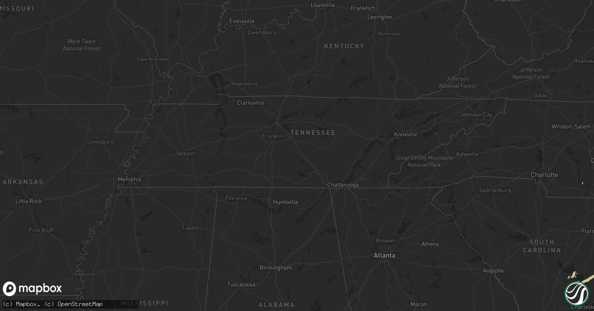
Hail Map in North Carolina on April 21, 2012
Get this storm
April 21 map
$229
one time, instant access
Download today. No call, no setup
Keep the $229
Bought the map and want the full workflow? Apply the entire $229 to a subscription within 7 days. None of it is wasted.
Every map, not just this one
This buys you this map. Subscription and you get every map we run, in the markets you choose from a few cities to whole states to nationwide. Plus real-time alerts the moment a storm fires.
Contact data
Name, contact info, occupancy, even credit band for addresses in the footprint. You go from where it hit to who to call.
Become the source they trust
Unlimited branding weather history reports on demand. You already have the documented answer ready for the property owner, and you are the one who showed up with it.
Property data and RoofTrace estimates
Pull up any address you have got, its value and the exact code rules for that jurisdiction, straight from One Click Code. Then RoofTrace estimates the squares, pitch, and roof value, priced the way you price.
Storm reports in North Carolina
North Carolina
| Date | Description |
|---|---|
| 04/21/20126:11 PM CDT | One tree was reported down to the northeast of of leggett nc... Along nc highway 97. |
| 04/21/20126:08 PM CDT | One tree blown down just west of leggett. Time estimated. |
| 04/21/20125:39 PM CDT | One tree was reported down near the 6300 block of bridgersville road near. |
| 04/21/20125:35 PM CDT | One tree was reported down near the 4900 block of redmon road. |
| 04/21/20125:20 PM CDT | One tree was reported down across yank road near community grocery road. |
| 04/21/20125:18 PM CDT | One tree was reported down near the 5400 block of central road near black creek. |
All States Impacted by Hail Map on April 21, 2012
Cities Impacted by Hail Map on April 21, 2012
- Elm City, NC
- Rocky Mount, NC
- Pinetops, NC
- Marion, SC
- Mayo, FL
- Live Oak, FL
- Fargo, GA
- Moore Haven, FL
- Labelle, FL
- Punta Gorda, FL
- Cross, SC
- Georgetown, SC
- Andrews, SC
- Statesboro, GA
- Patterson, GA
- Jacksonville, FL
- Du Pont, GA
- Bonneau, SC
- Moncks Corner, SC
- Saint Stephen, SC
- Pawleys Island, SC
- Inglis, FL
- Wallace, NC
- Willard, NC
- Teachey, NC
- Wellborn, FL
- Statenville, GA
- Johnsonville, SC
- Bristol, GA
- Blackshear, GA
- Chapel Hill, NC
- Mullins, SC
- Gresham, SC
- Spencer, IA
- Springfield, GA
- Orange Park, FL
- Rose Hill, NC
- Magnolia, NC
- Harrells, NC
- Warsaw, NC
- Mountain Lake, MN
- Ivanhoe, NC
- Black Creek, NC
- Lucama, NC
- Fremont, NC
- Wilson, NC
- Pinopolis, SC
- Princeton, NC
- Lilesville, NC
- Lake Park, GA
- Pineville, SC
- Eutawville, SC
- Madison, FL
- Greenville, FL
- Murrells Inlet, SC
- Woodland, NC
- Goldsboro, NC
- Pikeville, NC
- Day, FL
- Perry, FL
- Crystal River, FL
- McAlpin, FL
- Walnut Grove, MN
- O'Brien, FL
- Lamont, FL
- Rich Square, NC
- Brooklet, GA


