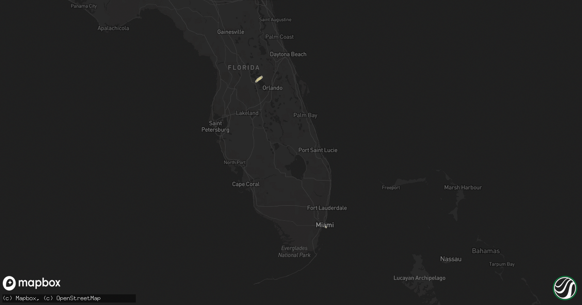
Hail Map in Florida on April 18, 2014
Get this storm
April 18 map
$229
one time, instant access
Download today. No call, no setup
Keep the $229
Bought the map and want the full workflow? Apply the entire $229 to a subscription within 7 days. None of it is wasted.
Every map, not just this one
This buys you this map. Subscription and you get every map we run, in the markets you choose from a few cities to whole states to nationwide. Plus real-time alerts the moment a storm fires.
Contact data
Name, contact info, occupancy, even credit band for addresses in the footprint. You go from where it hit to who to call.
Become the source they trust
Unlimited branding weather history reports on demand. You already have the documented answer ready for the property owner, and you are the one who showed up with it.
Property data and RoofTrace estimates
Pull up any address you have got, its value and the exact code rules for that jurisdiction, straight from One Click Code. Then RoofTrace estimates the squares, pitch, and roof value, priced the way you price.
Storm reports in Florida
Florida
| Date | Description |
|---|---|
| 04/18/20143:56 PM CDT | Possible tornado at 12619 sw 121st avenue. Power lines are down and two trees caught fire. |
| 04/18/20142:30 PM CDT | Downed power lines and damage to rear porch of mobile home. |
| 04/18/20142:23 PM CDT | Roof damage to mobile home |
| 04/18/20141:17 PM CDT | Sheriffs office reports power lines down near country club rd north and 11 ave north |
| 04/18/20145:17 AM CDT | Miami-dade fire college reported a 60 mph wind gust at 617am |


