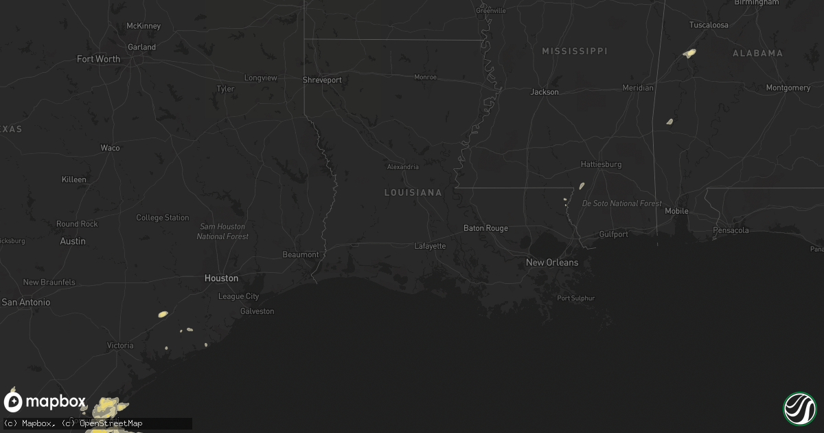
Hail Map in Texas on April 16, 2012
Get this storm
April 16 map
$229
one time, instant access
Download today. No call, no setup
Keep the $229
Bought the map and want the full workflow? Apply the entire $229 to a subscription within 7 days. None of it is wasted.
Every map, not just this one
This buys you this map. Subscription and you get every map we run, in the markets you choose from a few cities to whole states to nationwide. Plus real-time alerts the moment a storm fires.
Contact data
Name, contact info, occupancy, even credit band for addresses in the footprint. You go from where it hit to who to call.
Become the source they trust
Unlimited branding weather history reports on demand. You already have the documented answer ready for the property owner, and you are the one who showed up with it.
Property data and RoofTrace estimates
Pull up any address you have got, its value and the exact code rules for that jurisdiction, straight from One Click Code. Then RoofTrace estimates the squares, pitch, and roof value, priced the way you price.
Storm reports in Texas
Texas
| Date | Description |
|---|---|
| 04/16/20126:22 PM CDT | Portion of roof to restaurant on south padre island blown off. Two windows blown out of shuttle bus. One utility pole blown down at gas station. Lawn furniture blown ar |
| 04/16/20125:15 PM CDT | At 25th and arthur streets...a carport had damage to it. A fence with metal poles and wooden pickets was blown over. A telephone pole was leaning in the backyard of a r |
| 04/16/20125:15 PM CDT | At 26th and buchanan streets a metal roof was blown off a metal workshop and it came to rest on 26th street. 2 inch diameter tree limbs down. |
| 04/16/20123:53 PM CDT | Trained skywarn spotter reported quarter-size hail in pharr at the intersection of hall acres road and cage boulevard. |
| 04/16/201212:11 PM CDT | Hail broke flood lights at the island italian restaurant on north padre island |
| 04/16/201210:23 AM CDT | Also pea size hail. |
| 04/16/20128:55 AM CDT | County official reported tornado on the ground near fm 771 east of rivieria. Photo later sent to wfo confirmed tornado report. |
| 04/16/20128:37 AM CDT | Tornado reported at kenedy ranch in kenedy county... Approximately 3 miles south of rivera. Nws crp passed along the report from a member of the public in kleberg count |
| 04/16/20128:30 AM CDT | County official reported tornado on the ground near fm 771 east of rivieria. Photo later sent to wfo confirmed tornado report. |
| 04/16/20127:35 AM CDT | Tornado affected open land and small business along hwy 35 between aransas pass and gregory. Time is approx. |
All States Impacted by Hail Map on April 16, 2012
Cities Impacted by Hail Map on April 16, 2012
- Los Fresnos, TX
- Port Isabel, TX
- South Padre Island, TX
- Corpus Christi, TX
- Pharr, TX
- San Juan, TX
- Rockport, TX
- Grulla, TX
- Kingsville, TX
- Sarita, TX
- Eutaw, AL
- Aransas Pass, TX
- Port Aransas, TX
- Ingleside, TX
- Rio Hondo, TX
- San Benito, TX
- Harlingen, TX
- Lyford, TX
- Armstrong, TX
- Encino, TX
- Brownsville, TX
- Santa Elena, TX
- Rio Grande City, TX
- Portland, TX
- Toxey, AL
- El Campo, TX
- Edinburg, TX
- Taft, TX
- Akron, AL
- Sawyerville, AL
- Gilbertown, AL
- Mission, TX
- Edcouch, TX
- Bogalusa, LA
- Lumberton, MS
- Alamo, TX
- Tilden, TX
- Mcallen, TX
- Hidalgo, TX
- Sinton, TX
- Odem, TX
- Linn, TX
- Raymondville, TX
- Riviera, TX
- Bishop, TX
- Gregory, TX
- Fulton, TX
- Bay City, TX
- Decherd, TN
- Garciasville, TX
- San Perlita, TX
- Boligee, AL
- Van Vleck, TX
- Penitas, TX
- La Joya, TX
- Palacios, TX


