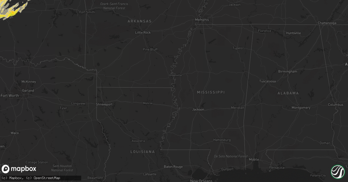
Hail Map in Oklahoma on April 13, 2012
Get this storm
April 13 map
$229
one time, instant access
Download today. No call, no setup
Keep the $229
Bought the map and want the full workflow? Apply the entire $229 to a subscription within 7 days. None of it is wasted.
Every map, not just this one
This buys you this map. Subscription and you get every map we run, in the markets you choose from a few cities to whole states to nationwide. Plus real-time alerts the moment a storm fires.
Contact data
Name, contact info, occupancy, even credit band for addresses in the footprint. You go from where it hit to who to call.
Become the source they trust
Unlimited branding weather history reports on demand. You already have the documented answer ready for the property owner, and you are the one who showed up with it.
Property data and RoofTrace estimates
Pull up any address you have got, its value and the exact code rules for that jurisdiction, straight from One Click Code. Then RoofTrace estimates the squares, pitch, and roof value, priced the way you price.
Storm reports in Oklahoma
Oklahoma
| Date | Description |
|---|---|
| 04/13/20126:16 PM CDT | A local report indicates a tornado near 3 SE BLAIR |
| 04/13/20126:10 PM CDT | The tornado persisted for a couple of minutes before dissipating. |
| 04/13/20125:37 PM CDT | A local report indicates 1.75 inch wind near 4 S MANGUM |
| 04/13/20125:29 PM CDT | Nickel to golf ball hail |
| 04/13/20125:05 PM CDT | A local report indicates 1.75 inch wind near BLAIR |
| 04/13/20124:42 PM CDT | A local report indicates 1.50 inch wind near 9 S CHOCTAW |
| 04/13/20124:02 PM CDT | Multiple sightnings of a tornado in norman. Multiple reports of damage and possible injuries. |
| 04/13/20124:01 PM CDT | *** 20 inj *** this tornado began west of the south canadian river... Or about 3.7 miles sw of norman. The tornado entered the southwest side of norman at 1601 and cros |
| 04/13/20123:55 PM CDT | A local report indicates 1.00 inch wind near 2 NE NORMAN |
| 04/13/20123:41 PM CDT | A local report indicates 1.00 inch wind near NEWCASTLE |
| 04/13/20122:50 PM CDT | A local report indicates 1.00 inch wind near LAWTON |
| 04/13/20126:50 AM CDT | Occurred in the ranch acres subdivision. Public report received via social media. Time estimated from radar. |
| 04/13/20126:25 AM CDT | Mostly nickels but a few quarters mixed in. |
| 04/13/20126:20 AM CDT | Numerous trees down. Power lines down. Time estimated by radar. |
| 04/13/20126:15 AM CDT | Two barns destroyed about 2 miles south of the zink ranch. Relayed by kotv. Time estimated via radar. |
| 04/13/20123:40 AM CDT | 4 inch tree limbs down and tin blown off a building just north of pawnee |
| 04/13/201212:42 AM CDT | Hwys 281 and 37 |
| 04/13/201212:10 AM CDT | A local report indicates 70 MPH wind near 10 SSW WEATHERFORD |
| 04/13/201212:10 AM CDT | Golf ball to hen egg hail |
| 04/12/201211:48 PM CDT | A local report indicates 69 MPH wind near 6 SSW EAKLY |
| 04/12/201211:48 PM CDT | 6ne cowden |
| 04/12/201211:22 PM CDT | 8w of cowden |
| 04/12/201211:22 PM CDT | A local report indicates 1.75 inch wind near 6 S STAFFORD |
| 04/12/201210:45 PM CDT | A local report indicates 1.00 inch wind near 3 NW CHICKASHA |
| 04/12/201210:39 PM CDT | A local report indicates 2.50 inch wind near 1 W ROCKY |
| 04/12/201210:28 PM CDT | West side of town near airport |
| 04/12/201210:16 PM CDT | A local report indicates 1.00 inch wind near 1 N ANADARKO |
| 04/12/201210:08 PM CDT | Hwy 8 |
| 04/12/20129:53 PM CDT | Moravia |
| 04/12/20129:40 PM CDT | 8 sse delhi |
| 04/12/20128:50 PM CDT | A local report indicates a tornado near 7 SSE CARNEGIE |
| 04/12/20128:42 PM CDT | A local report indicates a tornado near 8 SSE CARNEGIE |
| 04/12/20128:36 PM CDT | A local report indicates a tornado near 6 SSE CARNEGIE |
| 04/12/20127:54 PM CDT | The tornado continued northeast and lifted approximately 2 miles sse of carnegie. |
| 04/12/20127:48 PM CDT | A local report indicates 1.00 inch wind near LONE WOLF |
| 04/12/20127:35 PM CDT | Estimated 65-70 mph gust |
| 04/12/20127:28 PM CDT | A large tornado moved east... With no damage reported. The tornado was in progress along with at least one other tornado. |
| 04/12/20127:27 PM CDT | This tornado was likely in progress along with at least one other tornado. |
| 04/12/20127:26 PM CDT | This brief tornado occurred with at least one other tornado in progress. |
Cities Impacted by Hail Map on April 13, 2012
- Skiatook, OK
- Sperry, OK
- Carter, OK
- Ponca City, OK
- Marland, OK
- Medford, OK
- Caldwell, KS
- Corn, OK
- Clinton, OK
- Weatherford, OK
- Fort Cobb, OK
- Amber, OK
- Roosevelt, OK
- Lawton, OK
- Pocasset, OK
- Carnegie, OK
- Cement, OK
- Elgin, OK
- Chickasha, OK
- Tuttle, OK
- Verden, OK
- Gracemont, OK
- Minco, OK
- Apache, OK
- Anadarko, OK
- Blanchard, OK
- Newcastle, OK
- Mountain View, OK
- Sarcoxie, MO
- Stotts City, MO
- La Russell, MO
- Galena, KS
- Nowata, OK
- Cyril, OK
- Mountain Park, OK
- Headrick, OK
- Hobart, OK
- Norman, OK
- Oklahoma City, OK
- Chillicothe, TX
- Vernon, TX
- Crowell, TX
- Quanah, TX
- Kingdom City, MO
- Fulton, MO
- Yates Center, KS
- Piqua, KS
- Binger, OK
- Welch, OK
- Hinton, OK
- Hydro, OK
- Wellington, TX
- Quail, TX
- Stillwater, OK
- Orlando, OK
- Perry, OK
- Mulhall, OK
- Sayre, OK
- Willow, OK
- Erick, OK
- Granite, OK
- Arkansas City, KS
- Braman, OK
- South Haven, KS
- Geuda Springs, KS
- Newkirk, OK
- Liberty, KS
- Cherryvale, KS
- Independence, KS
- Mound Valley, KS
- Harrah, OK
- Jones, OK
- Luther, OK
- Wellston, OK
- Choctaw, OK
- Leedey, OK
- Cushing, OK
- Seneca, MO
- Lockwood, MO
- Golden City, MO
- Joplin, MO
- Walnut Grove, MO
- Reeds, MO
- Diamond, MO
- Quapaw, OK
- Everton, MO
- Carthage, MO
- Ash Grove, MO
- Miller, MO
- Miami, OK
- South Greenfield, MO
- Fairfax, OK
- Burbank, OK
- Shidler, OK
- Ralston, OK
- Prue, OK
- Collinsville, OK
- Owasso, OK
- Sand Springs, OK
- Foss, OK
- Canute, OK
- Butler, OK
- Agra, OK
- Coyle, OK
- Edmond, OK
- Yale, OK
- Meridian, OK
- Ripley, OK
- Tryon, OK
- Perkins, OK
- Okarche, OK
- Piedmont, OK
- Jennings, OK
- Guthrie, OK
- Cashion, OK
- Drumright, OK
- Yukon, OK
- El Reno, OK
- El Dorado Springs, MO
- Osceola, MO
- Stroud, OK
- Willard, MO
- Vici, OK
- Elk City, OK
- Milan, KS
- Mayfield, KS
- Red Rock, OK
- Arnett, OK
- Reydon, OK
- Camargo, OK
- Crawford, OK
- Durham, OK
- Collins, MO
- Schell City, MO
- Versailles, MO
- Flemington, MO
- Carl Junction, MO
- Columbus, KS
- Rocky, OK
- Lookeba, OK
- Cordell, OK
- Lone Wolf, OK
- Dill City, OK
- Colony, OK
- Sentinel, OK
- Morrison, OK
- Chamois, MO
- Hermann, MO
- Rhineland, MO
- Morrison, MO
- Aldrich, MO
- Morrisville, MO
- Gravois Mills, MO
- Climax Springs, MO
- Stover, MO
- Glencoe, OK
- Crescent, OK
- Childress, TX
- Lakeview, TX
- Memphis, TX
- Gotebo, OK
- Blair, OK
- Shawnee, OK
- Hollis, OK
- Meeker, OK
- Vinson, OK
- Newalla, OK
- Dodson, TX
- Mcloud, OK
- Mangum, OK
- Duke, OK
- Cache, OK
- Olustee, OK
- Gould, OK
- Altus, OK
- Calumet, OK
- Geary, OK
- Kaw City, OK
- Hunter, OK
- Garber, OK
- Delaware, OK
- Republic, MO
- Altamont, KS
- Pawhuska, OK
- Havana, KS
- Caney, KS
- Coffeyville, KS
- Peru, KS
- Niotaze, KS
- Sparks, OK
- Fall River, KS
- Burden, KS
- Cambridge, KS
- Prague, OK
- Mutual, OK
- Carterville, MO
- Chetopa, KS
- Jasper, MO
- Canadian, TX
- Bartlesville, OK
- Ramona, OK
- Ochelata, OK
- Lenapah, OK
- Clearwater, KS
- Bethany, OK
- Pawnee, OK
- Washington, OK
- Medicine Park, OK
- Claremore, OK
- Bessie, OK
- Cedar Vale, KS
- Mannford, OK
- Arcadia, OK
- Maramec, OK
- Wheatland, OK
- Terlton, OK
- Mustang, OK
- Eldorado, OK
- Tulsa, OK
- Cleveland, OK
- Chandler, OK
- Spencer, OK
- Osage, OK
- Turkey, TX
- Fort Sill, OK
- Parsons, KS
- Camdenton, MO
- Fair Play, MO
- Mount Vernon, MO
- Avilla, MO
- Pond Creek, OK
- Ames, OK
- Drummond, OK
- Bolivar, MO
- Dadeville, MO
- Edwards, MO
- Billings, MO
- Deepwater, MO
- Isabella, OK
- Fairview, OK
- Enid, OK
- Toronto, KS
- Jonesburg, MO
- Warrenton, MO
- Clinton, MO
- Winfield, KS
- Virgil, KS
- Waukomis, OK
- Hennessey, OK
- Okeene, OK
- Kingfisher, OK
- California, MO
- Russellville, MO
- Covington, OK
- Fairmont, OK
- Ringwood, OK
- Meno, OK
- Barnett, MO
- Douglas, OK
- Lamont, OK
- Bison, OK
- Kremlin, OK
- Hitchcock, OK
- Atlanta, KS
- Latham, KS
- Hammon, OK
- Taloga, OK
- Chester, OK
- Talala, OK
- Oswego, KS
- Iola, KS
- Humboldt, KS
- Watonga, OK
- Moline, KS
- Tonkawa, OK
- Barnsdall, OK
- Depew, OK
- Fredonia, KS
- Marionville, MO
- Loyal, OK
- Moore Haven, FL
- Neosho, MO
- Dewey, OK
- Elk City, KS
- Longton, KS
- Marshall, OK
- Bois D Arc, MO
- Springfield, MO
- S Coffeyville, OK
- Shamrock, TX
- Pierce City, MO
- Cheyenne, OK
- Picher, OK
- Baxter Springs, KS
- Treece, KS
- Greenfield, MO
- Seiling, OK
- Higgins, TX
- Wyandotte, OK
- Hominy, OK
- Piedmont, KS
- Severy, KS
- Howard, KS
- Buffalo, KS
- Union City, OK
- Sedan, KS
- Arcola, MO
- Dunnegan, MO
- Redfield, KS
- Longdale, OK
- Thomas, OK
- Aurora, MO
- Eldridge, MO
- Dexter, KS
- Nardin, OK
- Webb City, MO
- Vinita, OK
- Snyder, OK
- Labelle, FL


