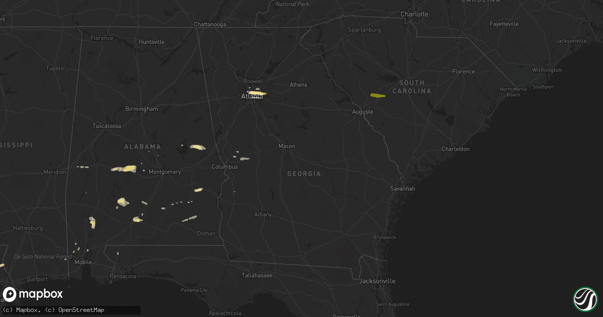
Hail Map in Georgia on April 10, 2015
Get this storm
April 10 map
$229
one time, instant access
Download today. No call, no setup
Keep the $229
Bought the map and want the full workflow? Apply the entire $229 to a subscription within 7 days. None of it is wasted.
Every map, not just this one
This buys you this map. Subscription and you get every map we run, in the markets you choose from a few cities to whole states to nationwide. Plus real-time alerts the moment a storm fires.
Contact data
Name, contact info, occupancy, even credit band for addresses in the footprint. You go from where it hit to who to call.
Become the source they trust
Unlimited branding weather history reports on demand. You already have the documented answer ready for the property owner, and you are the one who showed up with it.
Property data and RoofTrace estimates
Pull up any address you have got, its value and the exact code rules for that jurisdiction, straight from One Click Code. Then RoofTrace estimates the squares, pitch, and roof value, priced the way you price.
Storm reports in Georgia
Georgia
| Date | Description |
|---|---|
| 04/10/20155:30 PM CDT | Reports from the general public of several trees down with small hail...up to dimes and nickels |
| 04/10/20155:30 PM CDT | Public reported 5 trees down near the intersection of clairmont road ne and briarcliff road ne.... Just north of north druid hills. Pea to marble size hail was also rep |
| 04/10/20155:15 PM CDT | Public reported quarter size hail fell for approximately 5 minutes in the decatur area. |
| 04/10/20155:10 PM CDT | Emergency manager reports trees down on emory university campus..one leaning against a fraternity house on eaglerow road. Powerlines are also down with power outages. S |
| 04/10/20155:10 PM CDT | Emergency manager reports a tree down on powerline at monroe and 10th street. |
| 04/10/20151:15 PM CDT | Employee of ohanlons restaurant on u.s. 80... Just north of downtown geneva... Received dime to quarter size hail for 10-20 minutes. |
All States Impacted by Hail Map on April 10, 2015
Cities Impacted by Hail Map on April 10, 2015
- Beatrice, AL
- Fort Davis, TX
- Vredenburgh, AL
- Riviera, TX
- Encino, TX
- Falfurrias, TX
- Livingston, AL
- Selma, AL
- Marion Junction, AL
- Safford, AL
- Uniontown, AL
- Lafayette, AL
- Waverly, AL
- Camp Hill, AL
- Atlanta, GA
- Baton Rouge, LA
- Bogalusa, LA
- Bush, LA
- Evergreen, AL
- York, AL
- Pine Apple, AL
- Camden, AL
- Tucker, GA
- Labelle, FL
- Clarkston, GA
- Scottdale, GA
- Decatur, GA
- Stone Mountain, GA
- Pine Lake, GA
- Banks, AL
- Denham Springs, LA
- Greenwell Springs, LA
- Baker, LA
- Jackson, AL
- Verbena, AL
- Citronelle, AL
- Picayune, MS
- Midway, AL
- Union Springs, AL
- Stinnett, TX
- Ozark, AL
- Enterprise, AL
- Fort Rucker, AL
- New Brockton, AL
- Ariton, AL
- Autaugaville, AL
- Livingston, LA
- Holden, LA
- Leroy, AL
- Lowndesboro, AL
- Naples, FL
- Walker, LA
- Moore Haven, FL
- McKenzie, AL
- Georgiana, AL
- Avondale Estates, GA
- Lithonia, GA
- Smyrna, GA
- Talbotton, GA
- Box Springs, GA
- Forest Home, AL
- Greenville, AL
- Waverly Hall, GA
- Dadeville, AL
- Goshen, AL
- Punta Gorda, FL
- Lucedale, MS
- Ellerslie, GA
- Deatsville, AL
- Demopolis, AL
- Luverne, AL
- Rutledge, AL
- Creola, AL
- Troy, AL
- Lumpkin, GA
- Port Haywood, VA
- Susan, VA
- McDavid, FL
- Chunchula, AL
- Junction City, GA
- Jacksons Gap, AL
- Wilmer, AL
- Campbell, AL
- Ridge Spring, SC
- Johnston, SC
- Monetta, SC
- Batesburg, SC
- Trenton, SC
- Aiken, SC
- Snellville, GA


