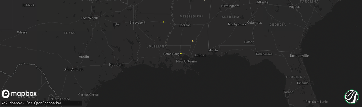
Hail Map on April 8, 2014
The weather event on April 8, 2014 includes Hail map. 3 states and 18 cities were impacted and suffered possible damage. The total estimated number of properties impacted is 4,531.
Want more than just the map?
Turn this storm into a full workflow.
- Owner + property data so you know who to knock
- OnDemand branded weather history reports to win the "did we even have hail?" argument
- RoofTrace estimate so reps stop guessing numbers at the door
Bought this map? Upgrade within 7 days and we'll credit the $230. (10-15 min setup call)
Hail
4,531
Estimated number of impacted properties by a 1.00" hail or larger0
Estimated number of impacted properties by a 1.75" hail or larger0
Estimated number of impacted properties by a 2.50" hail or largerStates Impacted by Hail Map on April 8, 2014
Storm reports
Mississippi
| Date | Description |
|---|---|
| 04/08/20146:05 PM CDT | Large oak tree...several other trees and power lines downed |
| 04/08/20146:00 PM CDT | Older model single wide trailer sustained moderate damage from apparent rear flank downdraft event on old joe moran road near kiln. Front porch dislocated and blown ove |
| 04/08/20145:35 PM CDT | Multiple sizes reported with largest size being 1.5 inch hail. |
| 04/08/20145:25 PM CDT | Numerous trees down around the county. |
| 04/08/20144:45 PM CDT | So reports trees down across lawrence county...primarily in monticello and silver creek |
| 04/08/20144:40 PM CDT | *** 1 inj *** emergency manager reported several trees blown down in and around mccomb. One tree fell onto an apartment building damaging it and injuring an occupant. |
| 04/08/20144:17 PM CDT | Trees down |
| 04/08/20144:15 PM CDT | Several trees down across lincoln county and the city of brookhaven with some minor power outages. Numerous reports of pea sized hail as well. |
| 04/08/20144:10 PM CDT | Ema reports strong winds blew a tree down across hwy 51 south and ripped the flag off the pole at the eoc |
| 04/08/20144:10 PM CDT | Trees down at us hwy 51 and georgetown road |
| 04/08/20143:35 PM CDT | At natchez hardy airport |
| 04/08/20143:30 PM CDT | Trees down |
| 04/08/201412:18 PM CDT | Older model single wide trailer sustained moderate damage from apparent rear flank downdraft event on old joe moran road near kiln. Front porch dislocated and blown ove |
Louisiana
| Date | Description |
|---|---|
| 04/08/20143:45 PM CDT | Trees uprooted |
| 04/08/20143:05 PM CDT | Powerlines...a power pole...and a tree down in newellton... |
| 04/08/20143:04 PM CDT | A local report indicates 1.00 inch wind near 2 N PONCHATOULA |
| 04/08/20142:03 PM CDT | Up to quarter sized hail covering the ground at intersection of cochran road and cabuck lane just west of rayville |
Arkansas
| Date | Description |
|---|---|
| 04/08/20142:37 PM CDT | Trees and powerlines down in hot springs. A billboard is now leaning over from the wind at a gas station at the intersection of hwy 227 and 270. |