Hail Map on April 7, 2014
Get this storm
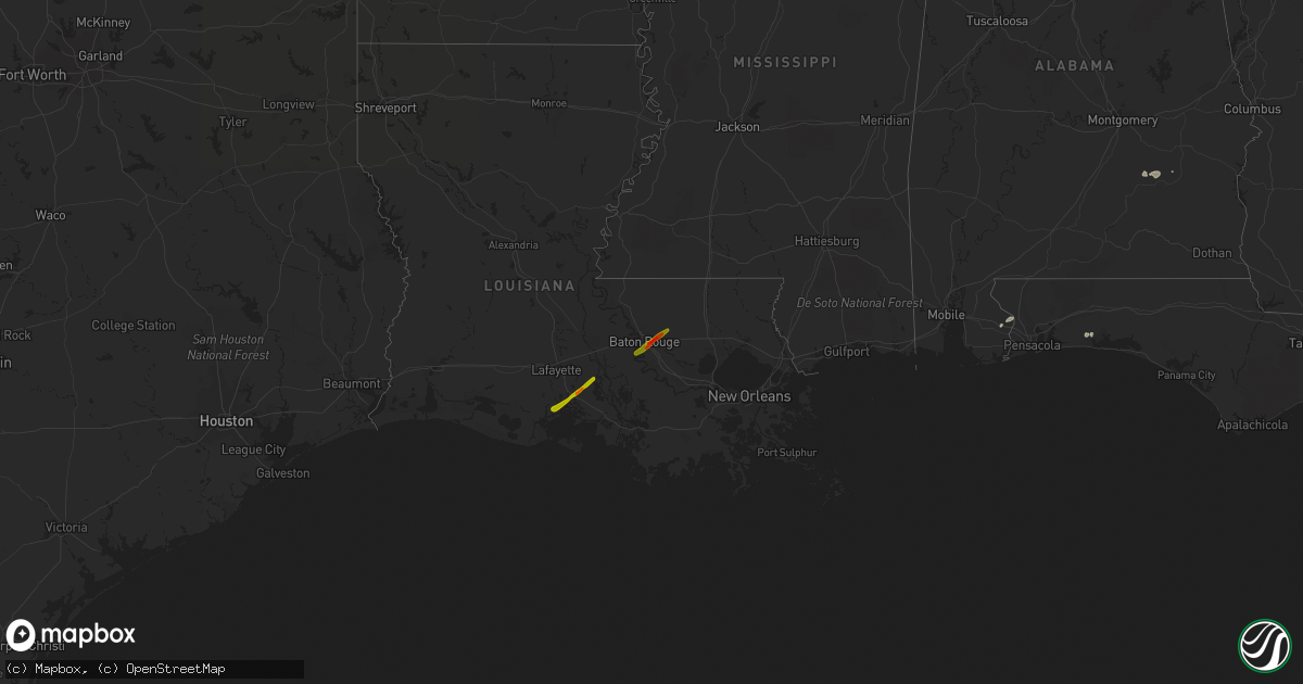
April 7 map
$229
one time, instant access
Download today. No call, no setup
Keep the $229
Bought the map and want the full workflow? Apply the entire $229 to a subscription within 7 days. None of it is wasted.
Every map, not just this one
This buys you this map. Subscription and you get every map we run, in the markets you choose from a few cities to whole states to nationwide. Plus real-time alerts the moment a storm fires.
Contact data
Name, contact info, occupancy, even credit band for addresses in the footprint. You go from where it hit to who to call.
Become the source they trust
Unlimited branding weather history reports on demand. You already have the documented answer ready for the property owner, and you are the one who showed up with it.
Property data and RoofTrace estimates
Pull up any address you have got, its value and the exact code rules for that jurisdiction, straight from One Click Code. Then RoofTrace estimates the squares, pitch, and roof value, priced the way you price.
States Impacted by Hail Map on April 7, 2014
Storm reports
Georgia
| Date | Description |
|---|---|
| 04/07/20145:42 PM CDT | Tree down near rocky ford rd and clyattville road |
| 04/07/20144:22 PM CDT | Warning point reported tree down on highway 99 near blue n hall road. |
| 04/07/20143:54 PM CDT | Tree down reported at the 4500 block of old louisville road. |
| 04/07/20142:55 PM CDT | A tree reported down northwest of waycross. Time estimated from radar. |
| 04/07/20142:42 PM CDT | Warning point reported tree down at the 2300 block of jennie station road. Telephone line down in the same area. |
| 04/07/20142:25 PM CDT | Chicken houses damaged by thunderstorm winds on bea durrence road. |
| 04/07/20142:20 PM CDT | Warning point reported tree down at the 700 block of rod strickland road. |
| 04/07/20142:09 PM CDT | Em relayed a report of damage on hwy 147 and us hwy 1. Approximately 6 trees were downed. Damage to a couple of old barns and a center pivot irrigation system was repor |
| 04/07/20141:55 PM CDT | The em reported scattered wind damage from greys landing road to charlie hart road. A bow echo thunderstorm event caused numerous trees to be uprooted or snapped in spo |
| 04/07/20141:45 PM CDT | Several trees were reported down over the eastern portion of the county. |
| 04/07/20141:40 PM CDT | Trees and powerlines were reported down. One tree fell onto a house and no injuries reported. Time estimated from radar. |
| 04/07/20141:35 PM CDT | A couple of trees were reported down near ambrose. Time estimated from radar. |
| 04/07/20141:25 PM CDT | Trees down on satilla road |
| 04/07/20141:10 PM CDT | Trees down on 5 bridge road |
| 04/07/20141:10 PM CDT | Trees down on dogwood road |
| 04/07/20141:10 PM CDT | Large tree down on poppy road |
| 04/07/20141:10 PM CDT | Tree down blocking azalea road on the dirt part of the road |
| 04/07/20141:10 PM CDT | Trees down on bushy creek road |
| 04/07/20141:05 PM CDT | Trees down on old valley grove church road |
| 04/07/201412:55 PM CDT | A tornado briefly touched down in irwin county south of ocilla ga and was at its strongest near the end of its 2 miles damage path. Ef1 damage was assessed. Structural |
| 04/07/201412:55 PM CDT | Multiple sheds blown away |
| 04/06/20148:55 PM CDT | *** 3 inj *** trees down on 2 cars on hwy 92 with 3 people injured. Numerous other trees down. At least 2 homes damaged. Occurred between vaughn rd and jim goodson rd n |
| 04/06/20148:50 PM CDT | *** 3 inj *** nws storm survey confirmed ef1 tornado touched down 8 miles nw of griffin. Dozens of trees were downed...some damaging homes as they fell. One home sustai |
Florida
| Date | Description |
|---|---|
| 04/07/20145:32 PM CDT | Storm spotters reported thunderstorm wind damage on the embry riddle aeronautical university campus in daytona beach. Multiple windows were shattered and blown in on th |
| 04/07/20145:31 PM CDT | Trained spotters and volusia county emergency management confirmed a small cessna-172 plane was flipped on the daytona beach airport runway as a small microburst affect |
| 04/07/20145:13 PM CDT | Trees down around greenville. |
| 04/07/20144:46 PM CDT | One large tree down blocking both northbound lanes of us-19. |
| 04/07/20144:23 PM CDT | Two trees were down and one tree was leaning on power lines about 1 mile west of st joe road along tram road. Corrected time of event |
| 04/07/20144:23 PM CDT | A few trees reported down in the vicinity of williams road and louvinia road. One large tree into powerlines on yashuntafun road. |
| 04/07/20144:21 PM CDT | Very short-lived and weak tornado. Damage was selective and confined to trees...with no structural damage observed. No funnel was observed...but several witnesses heard |
| 04/07/201412:23 PM CDT | Two trees were down and one tree was leaning on power lines about 1 mile west of st joe road along tram road |
| 04/07/20148:25 AM CDT | 30 foot tall tree down on house and car located on 60th avenue. |
North Carolina
| Date | Description |
|---|---|
| 04/07/20143:48 PM CDT | Tornado on the ground near hwy 94. |
| 04/07/20143:43 PM CDT | Reported sighting of tornado on the ground. |
| 04/07/20143:08 PM CDT | Report of tornado on the ground. |
| 04/07/20143:05 PM CDT | Us fish and wildlife sighted tornado on the ground. |
| 04/07/20142:55 PM CDT | Just north of hwy 264 |
| 04/07/20142:55 PM CDT | *** 2 inj *** numerous trees snapped in half... Damaged structures and pickup truck was either rolled or tossed into a field. Time estimated by radar. |
| 04/07/20142:53 PM CDT | Reports of roof gone from homes... Numerous trees down snapped and damaged structure. Time estimated by radar. |
| 04/07/20142:50 PM CDT | Multiple trees and powerlines down in belhaven and pantego. |
| 04/07/20142:49 PM CDT | Several reports of tornado on the ground |
| 04/07/201411:08 AM CDT | Several trees down across hwy 58 and one tree down on a house. No injuries. |
Kentucky
| Date | Description |
|---|---|
| 04/07/20145:06 PM CDT | Roof damage to two barns and one tree down. |
| 04/07/20145:00 PM CDT | Minor barn damage and pontoon boat rolled over |
Texas
| Date | Description |
|---|---|
| 04/06/20149:15 PM CDT | Numerous trees down across the northern half of fayette county. The awos at la grange reported a wind gusts to 47 mph. |
| 04/06/20148:30 PM CDT | Large live oak tree blown over along with several large limbs from other trees. |
| 04/06/20147:55 PM CDT | Large tree was blown into power lines knocking out power to the area. |
| 04/06/20147:38 PM CDT | Ktki reported a wind gust to 50 knots. |
| 04/06/20147:35 PM CDT | Strong winds blew down a large tree near 24th street and san jacinto. Time is estimated by radar. |
Alabama
| Date | Description |
|---|---|
| 04/07/20148:46 AM CDT | A few trees were blown down along highway 26. Reported by out town store. |
| 04/07/20148:21 AM CDT | A few trees were blown down along highway 239 in the smuteye community. |
| 04/07/20147:45 AM CDT | Multiple tress down across pike county. |
| 04/07/20147:45 AM CDT | Multiple tress down across pike county. |
Cities Impacted by Hail Map on April 7, 2014
- Hye, TX
- Troy, AL
- Mayfield, KY
- Sedalia, KY
- Davidson, OK
- Round Mountain, TX
- Llano, TX
- Johnson City, TX
- Marion, TX
- Jbsa Ft Sam Houston, TX
- Seguin, TX
- Schertz, TX
- San Antonio, TX
- Converse, TX
- Saint Hedwig, TX
- La Vernia, TX
- Banks, AL
- Blanco, TX
- Pipe Creek, TX
- Mico, TX
- Rio Medina, TX
- Lohn, TX
- Pantego, NC
- Fulton, KY
- Water Valley, KY
- Eglin Afb, FL
- Robertsdale, AL
- Cantonment, FL
- Kendalia, TX
- Boerne, TX
- Benton, KY
- Helotes, TX
- Adkins, TX
- Bandera, TX
- Loreauville, LA
- Erath, LA
- Saint Martinville, LA
- New Iberia, LA
- Walker, LA
- Greenwell Springs, LA
- Denham Springs, LA
- Baton Rouge, LA
- Addis, LA