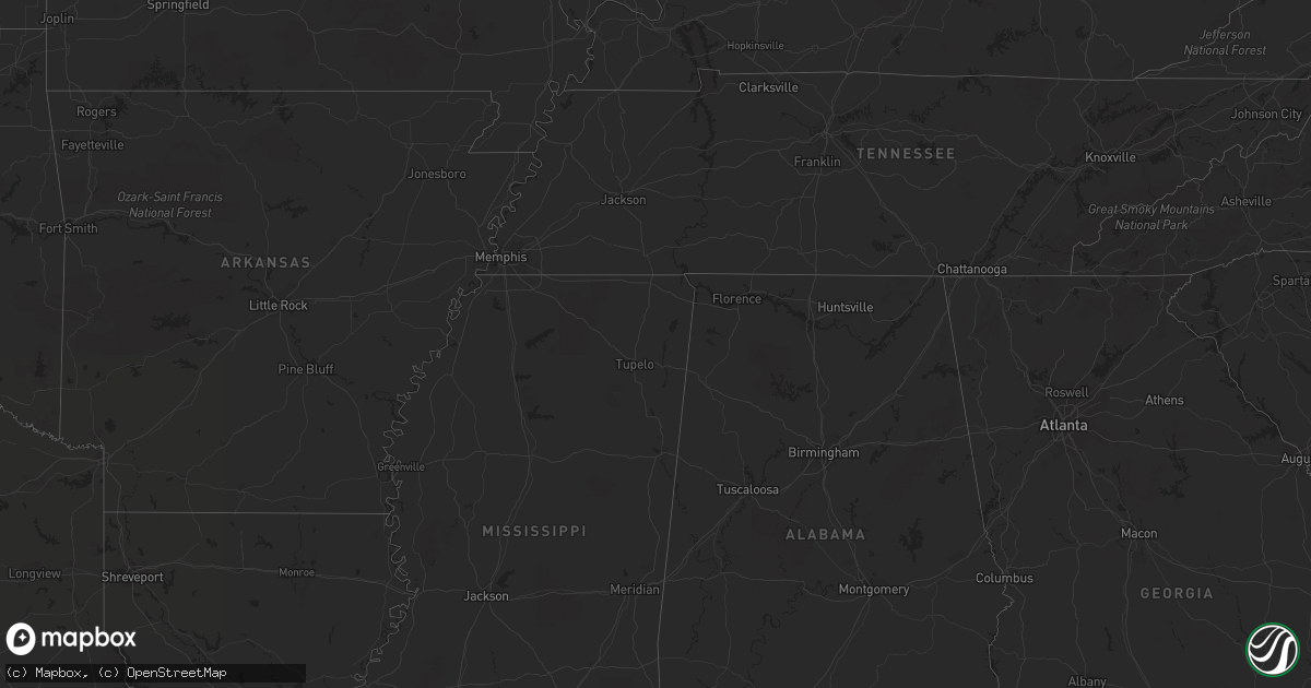
Hail Map in Illinois on March 30, 2012
Get this storm
March 30 map
$229
one time, instant access
Download today. No call, no setup
Keep the $229
Bought the map and want the full workflow? Apply the entire $229 to a subscription within 7 days. None of it is wasted.
Every map, not just this one
This buys you this map. Subscription and you get every map we run, in the markets you choose from a few cities to whole states to nationwide. Plus real-time alerts the moment a storm fires.
Contact data
Name, contact info, occupancy, even credit band for addresses in the footprint. You go from where it hit to who to call.
Become the source they trust
Unlimited branding weather history reports on demand. You already have the documented answer ready for the property owner, and you are the one who showed up with it.
Property data and RoofTrace estimates
Pull up any address you have got, its value and the exact code rules for that jurisdiction, straight from One Click Code. Then RoofTrace estimates the squares, pitch, and roof value, priced the way you price.
Storm reports in Illinois
Illinois
| Date | Description |
|---|---|
| 03/30/20126:06 PM CDT | Ping pong size hail reported in the community. |
| 03/30/20125:48 PM CDT | A local report indicates 1.00 inch wind near CENTRALIA |
| 03/30/20125:11 PM CDT | Lot of hail around quarter size |
| 03/30/20125:11 PM CDT | A local report indicates 1.00 inch wind near 2 NNW SELMAVILLE |
| 03/30/20125:10 PM CDT | Pea to quarter size hail |
| 03/30/20125:05 PM CDT | A local report indicates 1.00 inch wind near LIVELY GROVE |
| 03/30/20125:04 PM CDT | A local report indicates 1.00 inch wind near LIVELY GROVE |
| 03/30/20124:50 PM CDT | A local report indicates 1.50 inch wind near CARLYLE |
| 03/30/20124:08 PM CDT | A local report indicates 1.00 inch wind near 6 E VERNON |
All States Impacted by Hail Map on March 30, 2012
Cities Impacted by Hail Map on March 30, 2012
- Crothersville, IN
- Lincoln Park, MI
- Humphrey, NE
- Lindsay, NE
- Wilkinson, IN
- Pendleton, IN
- Greenfield, IN
- Westfield, IL
- Fredericksburg, IN
- Depauw, IN
- Boonville, IN
- Dale, IN
- Tennyson, IN
- Chrisney, IN
- Gentryville, IN
- Martinsville, IN
- Helton, KY
- Bledsoe, KY
- Warbranch, KY
- Laredo, TX
- Mill Creek, OK
- Milburn, OK
- Tishomingo, OK
- Beulaville, NC
- Creston, NE
- Perryville, MO
- Friedheim, MO
- Old Appleton, MO
- Oak Ridge, MO
- Frohna, MO
- Uniontown, MO
- Brookville, OH
- West Alexandria, OH
- Dayton, OH
- Plain City, OH
- Dublin, OH
- Marysville, OH
- Rosedale, IN
- Clinton, IN
- Yorktown, IN
- Muncie, IN
- North Salem, IN
- Danville, IN
- Roachdale, IN
- Bainbridge, IN
- Coatesville, IN
- Cisne, IL
- Rinard, IL
- Johnsonville, IL
- Flora, IL
- Gaston, IN
- De Graff, OH
- Bellefontaine, OH
- Pierce, NE
- Circleville, OH
- Saint Joe, AR
- Yellville, AR
- Everton, AR
- Valley Springs, AR
- Carbon, IN
- Rockville, IN
- Brazil, IN
- Greencastle, IN
- Sergeant Bluff, IA
- Hornick, IA
- Rodney, IA
- Oto, IA
- Sloan, IA
- Salix, IA
- Anthon, IA
- Bronson, IA
- Mapleton, IA
- Smithland, IA
- Dozier, AL
- Brantley, AL
- Powell, OH
- Columbus, OH
- Bethel, OH
- Hamersville, OH
- Lawrenceville, IL
- Vincennes, IN
- Newman Grove, NE
- Ardmore, OK
- Zapata, TX
- Centralia, IL
- Hoffman, IL
- Carlyle, IL
- Flat Rock, IL
- Elwood, IN
- Frankton, IN
- Anderson, IN
- Calera, OK
- Durant, OK
- Vincent, OH
- Fleming, OH
- Lowell, OH
- Stockport, OH
- Waterford, OH
- Malta, OH
- Marietta, OH
- Beverly, OH
- Bloomingburg, OH
- Washington Court House, OH
- Vernon, IL
- Alma, IL
- Vandalia, IL
- Kinmundy, IL
- Shobonier, IL
- Patoka, IL
- Mankato, KS
- Laurelville, OH
- Tarlton, OH
- Amanda, OH
- Stoutsville, OH
- West Liberty, KY
- Jacob, IL
- Rockwood, IL
- Burr Oak, KS
- Mount Vernon, IL
- Croton, OH
- Sunbury, OH
- Mount Vernon, OH
- Centerburg, OH
- Utica, OH
- Blacklick, OH
- Reynoldsburg, OH
- Hendrix, OK
- Colbert, OK
- Martinsville, IL
- Owensville, IN
- Griffin, IN
- Evansville, IN
- Du Quoin, IL
- Caney, OK
- Steeleville, IL
- Percy, IL
- Campbell Hill, IL
- Ava, IL
- Alexandria, OH
- Pataskala, OH
- Crossville, IL
- Sumner, TX
- Honey Grove, TX
- Brownstown, IN
- Seymour, IN
- Oaktown, IN
- Bicknell, IN
- Saint Mary, MO
- Palestine, IL
- Grayville, IL
- Urbana, OH
- Belleville, MI
- Pink Hill, NC
- Summitville, IN
- Eaton, IN
- Cincinnati, OH
- Xenia, IL
- Sardis, OH
- Trinway, OH
- Frazeysburg, OH
- Newark, OH
- Dresden, OH
- Saint Louisville, OH
- South Bloomingville, OH
- Clayton, IN
- Plainfield, IN
- Avon, IN
- Mooresville, IN
- Rushsylvania, OH
- Huntsville, OH
- West Mansfield, OH
- McLeansboro, IL
- Springerton, IL
- Odin, IL
- Salem, IL
- Johnstown, OH
- Charlottesville, IN
- Knightstown, IN
- Spiceland, IN
- Russellville, IN
- Ladoga, IN
- Telephone, TX
- Roma, TX
- Alexandria, IN
- Daleville, IN
- Jerusalem, OH
- Quaker City, OH
- Barnesville, OH
- Woodsfield, OH
- Georgetown, OH
- Nashville, IN
- Westerville, OH
- New Albany, OH
- Harrison, OH
- Western Grove, AR
- Hasty, AR
- Cloverdale, IN
- Columbus, NE
- Walsh, IL
- Sparta, IL
- Chester, IL
- West Newton, IN
- Camby, IN
- Indianapolis, IN
- Greenwood, IN
- Hardinsburg, IN
- Fairfield, IL
- Iuka, IL
- Quincy, IN
- Cedarville, OH
- Advance, IN
- New Ross, IN
- Jamestown, IN
- Lebanon, IN
- La Grange, NC
- Freetown, IN
- Galena, OH
- Delaware, OH
- Ostrander, OH
- Grandview, IN
- Evanston, IN
- Stilesville, IN
- Monrovia, IN
- Amo, IN
- Bloomingdale, IN
- Waveland, IN
- Brownsburg, IN
- Fillmore, IN
- Bargersville, IN
- Marshall, IN
- Greenfield, OH
- Bloomington, IN
- Unionville, IN
- Onsted, MI
- Toledo, IL
- Greenup, IL
- New Boston, MI
- Fletcher, OH
- Conover, OH
- Yale, IL
- Hidalgo, IL
- Xenia, OH
- Albion, IL
- Coulterville, IL
- Haubstadt, IN
- Fort Branch, IN
- Saint Paul, IN
- Lore City, OH
- Cambridge, OH
- Raymond, OH
- Zanesfield, OH
- East Liberty, OH
- Paragon, IN
- Mount Gilead, OH
- Mansfield, OH
- Galion, OH
- Sabina, OH
- Wilberforce, OH
- Jamestown, OH
- Yellow Springs, OH
- Jeffersonville, OH
- Benton, IL
- Ypsilanti, MI
- Madison, NE
- Mead, OK
- Bokchito, OK
- Heath, OH
- Thornville, OH
- Buckeye Lake, OH
- Millersport, OH
- Hebron, OH
- Jacksontown, OH
- Vendor, AR
- Romulus, MI
- Flat Rock, MI
- Farina, IL
- Saint Peter, IL
- Londonderry, OH
- Kingston, OH
- Hope, IN
- Vergennes, IL
- Pinckneyville, IL
- Beallsville, OH
- Martinsburg, OH
- Gambier, OH
- Fishers, IN
- Fortville, IN
- Catawba, OH
- Mechanicsburg, OH
- Senecaville, OH
- Pleasant City, OH
- West Liberty, OH
- Campbellsburg, IN
- Howard, OH
- Walhonding, OH
- Adrian, MI
- New Harmony, IN
- Connersville, IN
- Selma, IN
- Losantville, IN
- Richlands, NC
- Sandoval, IL
- Crawfordsville, IN
- Jewell, KS
- Randall, KS
- Beloit, KS
- Kell, IL
- Mount Vernon, IN
- Cable, OH
- Ariton, AL
- Ozark, AL
- Greensburg, IN
- Flat Rock, IN
- Lewisburg, OH
- West Manchester, OH
- Eldorado, OH
- Wadesville, IN
- Poseyville, IN
- Franklin, IN
- Shelbyville, IN
- Morgantown, IN
- Waldron, IN
- Edinburgh, IN
- Whipple, OH
- Cynthiana, IN
- Mcconnelsville, OH
- Chillicothe, OH
- Piqua, OH
- Britton, MI
- Tipton, MI
- Saline, MI
- Tecumseh, MI
- Clinton, MI
- Milan, MI
- Mozelle, KY
- Riverview, MI
- Trenton, MI
- Grosse Ile, MI
- Whiteland, IN
- Atmore, AL
- Marissa, IL
- Lenzburg, IL
- Oakdale, IL
- Needham, IN
- Nineveh, IN
- Trafalgar, IN
- Austin, IN
- Granville, OH
- Springfield, OH
- Greenville, OH
- London, OH
- South Charleston, OH
- Glenford, OH
- Orleans, IN
- Salem, IN
- Centerpoint, IN
- Reelsville, IN
- Radnor, OH
- Richwood, OH
- Milford Center, OH
- Golden Gate, IL
- Amesville, OH
- Cutler, OH
- Ellery, IL
- Brownstown, IL
- Manitou Beach, MI
- Addison, MI
- Chesterhill, OH
- Glouster, OH
- Kenefic, OK
- Ravenna, TX
- Ivanhoe, TX
- Bluford, IL
- Hoskins, NE
- Montrose, IL
- Lerna, IL
- Sigel, IL
- Trilla, IL
- Neoga, IL
- Jewett, IL
- Salesville, OH
- Nashport, OH
- Hopewell, OH
- Lewis Center, OH
- Mount Perry, OH
- Kirkersville, OH
- Baltimore, OH
- Branford, FL
- Summerfield, OH
- Caldwell, OH
- North Adams, MI
- Pittsford, MI
- Warsaw, OH
- Clayton, OH
- Columbus, IN
- Hoyleton, IL
- Norwich, OH
- Adamsville, OH
- New Concord, OH
- Scipio, IN
- Elizabethtown, IN
- Lewisville, OH
- Gosport, IN
- Fairborn, OH
- Edwardsport, IN
- Dana, IN
- Hillsdale, IN
- Kinston, NC
- Marengo, OH
- Sparta, OH
- Fredericktown, OH
- Ashley, OH
- Reading, MI
- Ingalls, IN
- Barnhill, IL
- Madill, OK
- Noble, IL
- Olney, IL
- Williamsport, OH
- Clarksburg, OH
- Taylor, MI
- Saint Paris, OH
- Mount Carmel, IL
- Sumner, IL
- New Martinsville, WV
- Breese, IL
- Broughton, IL
- Lewisville, IN
- New Madison, OH
- New Paris, OH
- Richmond, IN
- Schuyler, NE
- Mason, IL
- Elberfeld, IN
- Edison, OH
- Kenansville, NC
- New Holland, OH
- Andalusia, AL
- Sturgis, KY
- Modoc, IN
- Farmland, IN
- Winchester, IN
- Union City, IN
- Old Town, FL
- Norris City, IL
- Bennington, OK
- Enfield, IL
- Hawesville, KY


