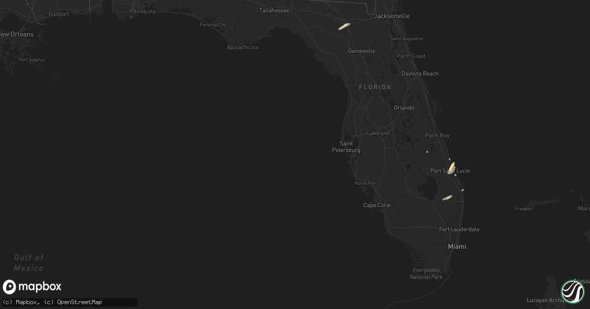
Hail Map in Florida on March 26, 2015
Get this storm
March 26 map
$229
one time, instant access
Download today. No call, no setup
Keep the $229
Bought the map and want the full workflow? Apply the entire $229 to a subscription within 7 days. None of it is wasted.
Every map, not just this one
This buys you this map. Subscription and you get every map we run, in the markets you choose from a few cities to whole states to nationwide. Plus real-time alerts the moment a storm fires.
Contact data
Name, contact info, occupancy, even credit band for addresses in the footprint. You go from where it hit to who to call.
Become the source they trust
Unlimited branding weather history reports on demand. You already have the documented answer ready for the property owner, and you are the one who showed up with it.
Property data and RoofTrace estimates
Pull up any address you have got, its value and the exact code rules for that jurisdiction, straight from One Click Code. Then RoofTrace estimates the squares, pitch, and roof value, priced the way you price.
Storm reports in Florida
Florida
| Date | Description |
|---|---|
| 03/26/20153:23 PM CDT | Numerous trees and branches down in the 300 block of east weatherbee road and 300 block of tumblin kling road. Tree on a home and on a carport. |
| 03/26/20153:23 PM CDT | Hail up to a half dollar reported near u.s. 1 between weatherbee and tumblin kling roads. |
| 03/26/20153:20 PM CDT | Wptv reported tree down on house in the whispering pines subdivision. People trapped inside the house. |
| 03/26/20153:15 PM CDT | A storm spotter reported quarter sized hail. |
All States Impacted by Hail Map on March 26, 2015
Cities Impacted by Hail Map on March 26, 2015
- Wellborn, FL
- Lake City, FL
- Asherton, TX
- George West, TX
- Pharr, TX
- Edinburg, TX
- Mission, TX
- Mcallen, TX
- Garciasville, TX
- Alamo, TX
- San Juan, TX
- Grulla, TX
- Penitas, TX
- Rio Grande City, TX
- Donna, TX
- Alvin, TX
- Liverpool, TX
- Rosharon, TX
- Loxahatchee, FL
- Jensen Beach, FL
- Port Saint Lucie, FL
- Fort Pierce, FL
- Pelahatchie, MS
- Brandon, MS
- Jupiter, FL
- Palm Beach Gardens, FL
- Palm City, FL
- Stuart, FL
- Vero Beach, FL
- Cotulla, TX


