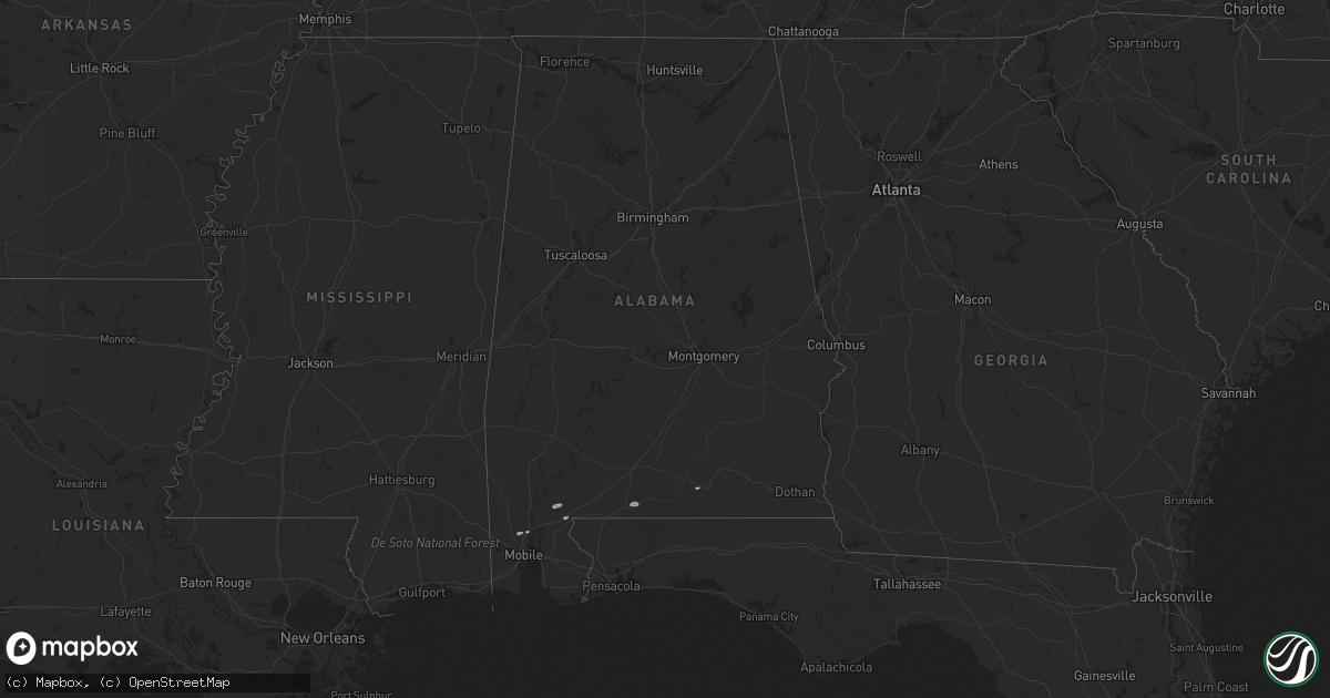
Hail Map in Alabama on March 16, 2014
Get this storm
March 16 map
$229
one time, instant access
Download today. No call, no setup
Keep the $229
Bought the map and want the full workflow? Apply the entire $229 to a subscription within 7 days. None of it is wasted.
Every map, not just this one
This buys you this map. Subscription and you get every map we run, in the markets you choose from a few cities to whole states to nationwide. Plus real-time alerts the moment a storm fires.
Contact data
Name, contact info, occupancy, even credit band for addresses in the footprint. You go from where it hit to who to call.
Become the source they trust
Unlimited branding weather history reports on demand. You already have the documented answer ready for the property owner, and you are the one who showed up with it.
Property data and RoofTrace estimates
Pull up any address you have got, its value and the exact code rules for that jurisdiction, straight from One Click Code. Then RoofTrace estimates the squares, pitch, and roof value, priced the way you price.
Storm reports in Alabama
Alabama
| Date | Description |
|---|---|
| 03/16/201410:48 AM CDT | Large pecan tree down partially blocking coffee county rd 700. Other trees and power lines down across coffee county. Per wtvy-tv. |
| 03/16/201410:45 AM CDT | Cable line pulled down by strong winds at the 250 block of nomad circle |
| 03/16/201410:41 AM CDT | Spotter estimated wind gusts of 60 mph with branches broken |
| 03/16/20149:48 AM CDT | Large pecan tree down partially blocking coffee county rd 700. Other trees and power lines down across coffee county. Per wtvy-tv. Corrected time. |
| 03/16/20149:17 AM CDT | Trees reported down. One fell into house. |
| 03/16/20149:06 AM CDT | Trees down in the sanford community. |
| 03/16/20148:56 AM CDT | Trees down in the straughn community. |
| 03/16/20148:21 AM CDT | A local report indicates 71 MPH wind near 5 E ATMORE |
| 03/16/20148:20 AM CDT | Structural damage at burkes outlet. |
| 03/16/20148:20 AM CDT | Collapse of building at freds. |
| 03/16/20148:00 AM CDT | Trees down on norton ave. |
| 03/16/20148:00 AM CDT | Trees down at ferry ave. In saraland. |


