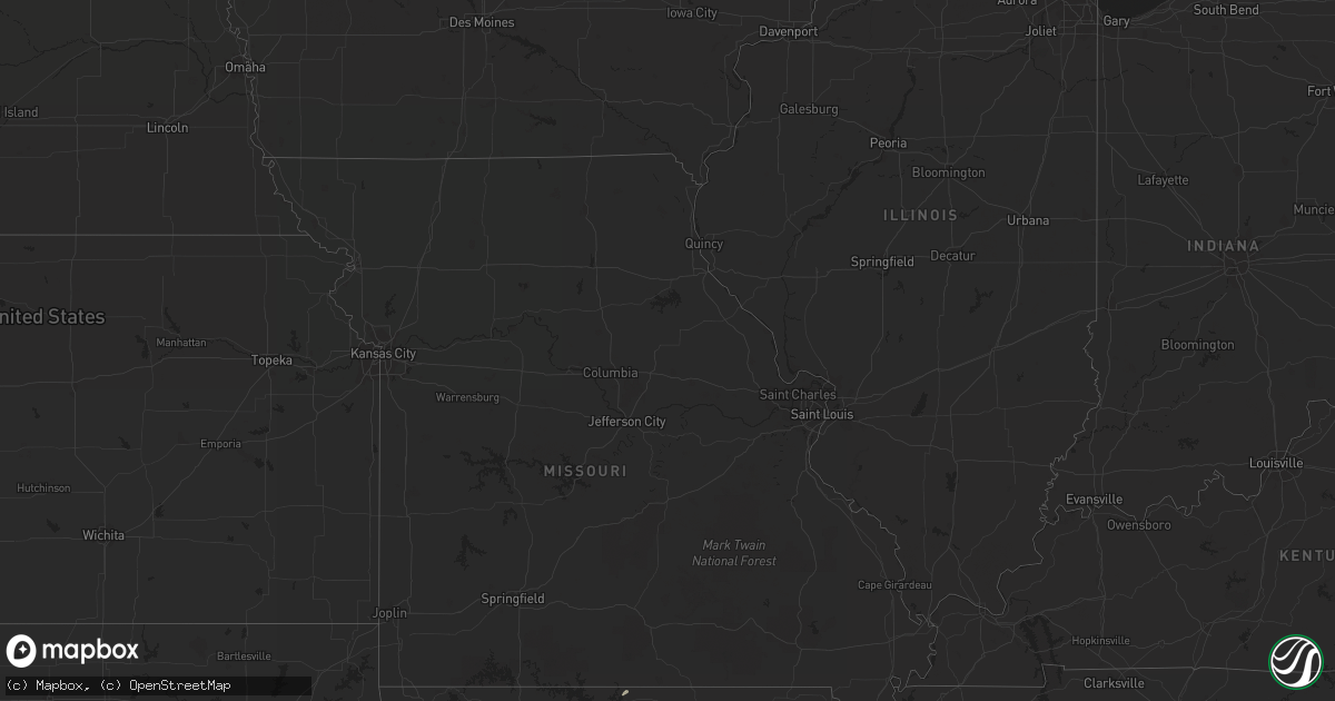
Hail Map in South Carolina on March 16, 2012
Get this storm
March 16 map
$229
one time, instant access
Download today. No call, no setup
Keep the $229
Bought the map and want the full workflow? Apply the entire $229 to a subscription within 7 days. None of it is wasted.
Every map, not just this one
This buys you this map. Subscription and you get every map we run, in the markets you choose from a few cities to whole states to nationwide. Plus real-time alerts the moment a storm fires.
Contact data
Name, contact info, occupancy, even credit band for addresses in the footprint. You go from where it hit to who to call.
Become the source they trust
Unlimited branding weather history reports on demand. You already have the documented answer ready for the property owner, and you are the one who showed up with it.
Property data and RoofTrace estimates
Pull up any address you have got, its value and the exact code rules for that jurisdiction, straight from One Click Code. Then RoofTrace estimates the squares, pitch, and roof value, priced the way you price.
Storm reports in South Carolina
South Carolina
| Date | Description |
|---|---|
| 03/16/20125:25 PM CDT | A local report indicates 1.00 inch wind near MONCKS CORNER |
| 03/16/20124:20 PM CDT | A local report indicates 1.00 inch wind near PADGETTS |
| 03/16/20124:05 PM CDT | A local report indicates 1.00 inch wind near SAINT GEORGE |
| 03/16/20123:45 PM CDT | Quarter size hail at neeses lawn and garden center. |
| 03/16/20123:43 PM CDT | Tree blocking fairfield rd at willingham rd. |
| 03/16/20123:20 PM CDT | Quarter size hail reported by public on cattle creek road. |
| 03/16/20122:55 PM CDT | One inch hail along interstate i-26 near bowman. |
All States Impacted by Hail Map on March 16, 2012
Cities Impacted by Hail Map on March 16, 2012
- Floydada, TX
- Mentone, AL
- Valley Head, AL
- Alamo, GA
- Chauncey, GA
- Eastman, GA
- Lumber City, GA
- Hazlehurst, GA
- Garnett, SC
- Rowesville, SC
- Orangeburg, SC
- Ringgold, GA
- Kennan, WI
- Denton, GA
- Alma, GA
- Nicholls, GA
- West Green, GA
- Woodland, AL
- Wedowee, AL
- Dorchester, SC
- Rockton, IL
- Orfordville, WI
- Fitzgerald, GA
- Skanee, MI
- Wayland, MI
- Caledonia, MI
- Round O, SC
- Cottageville, SC
- Lockney, TX
- Sheldon, WI
- Glen Flora, WI
- Reevesville, SC
- Saint George, SC
- Shelbyville, MI
- Hopkins, MI
- Martin, MI
- Glenwood, GA
- Lake Park, GA
- Chattanooga, TN
- Chassell, MI
- Beloit, WI
- Janesville, WI
- Owens Cross Roads, AL
- Huntsville, AL
- Lorenzo, TX
- Wray, GA
- Broxton, GA
- Ehrhardt, SC
- Ralls, TX
- Idalou, TX
- Petersburg, TX
- Argyle, WI
- Milton, WI
- Fort Stockton, TX
- Springfield, GA
- Newington, GA
- Sylvania, GA
- Rochelle, GA
- Pitts, GA
- New Hope, AL
- Ridgeville, SC
- Pelkie, MI
- Lubbock, TX
- Abernathy, TX
- Rockford, IL
- Naylor, GA
- Bowman, SC
- Brodhead, WI
- Pineland, SC
- Oregon, IL
- Chana, IL
- Winnebago, IL
- Belvidere, IL
- Cherry Valley, IL
- Loves Park, IL
- Caledonia, IL
- Machesney Park, IL
- Guyton, GA
- Brooklet, GA
- Statesboro, GA
- Americus, GA
- Abbeville, GA
- Grand Portage, MN
- Collins, GA
- Hardeeville, SC
- Arena, WI
- South Beloit, IL
- Gadsden, AL
- Leesburg, AL
- Collinsville, AL
- Attalla, AL
- Douglas, GA
- Islandton, SC
- Lodge, SC
- Denmark, SC
- Summerville, GA
- Chippewa Falls, WI
- Ruffin, SC
- McRae Helena, GA
- Holcombe, WI
- Cornell, WI
- Monroe, WI
- Monticello, WI
- Branchville, SC
- Cobbtown, GA
- Fort Oglethorpe, GA
- Darlington, WI
- Rossville, GA
- Cosby, TN
- Hartford, TN
- Grant, AL
- Scottsboro, AL
- Hampton, SC
- Brunson, SC
- Riceville, TN
- North, SC
- Neeses, SC
- Evansville, WI
- Gaylesville, AL
- Walterboro, SC
- Lyons, GA
- Metter, GA
- Milan, GA
- Rhine, GA
- Jacksonville, GA
- Edgerton, WI
- Albany, WI
- Franklin Grove, IL
- Eleva, WI
- Cadott, WI
- Claxton, GA
- Oregon, WI
- Stoughton, WI
- Brooklyn, WI
- Ridgeland, SC
- Mountain Home, AR
- Durand, IL
- Elizabeth, AR
- Hawkinsville, GA
- Unadilla, GA
- Pineview, GA
- Clyo, GA
- Tillman, SC
- Lake Linden, MI
- Malta, IL
- Pecatonica, IL
- New Deal, TX
- Chester, GA
- Flintstone, GA
- Hawkins, WI
- Smoaks, SC
- Chickamauga, GA
- Conrath, WI
- Ladysmith, WI
- Valdosta, GA
- Macon, GA
- Bamberg, SC
- Twin City, GA
- Grand Rapids, MI
- Belmont, WI
- Mineral Point, WI
- Vienna, GA
- Summerville, SC
- Gilman, WI
- Platteville, WI
- Henderson, AR
- Calhoun, TN
- Estill, SC
- Alpine, TX
- Viola, AR
- Stockton, GA
- Mosinee, WI
- Reidsville, GA
- Kathleen, GA
- Bonaire, GA
- Moncks Corner, SC
- Mohawk, MI
- Ambrose, GA
- Marathon, TX
- Cameron, SC


