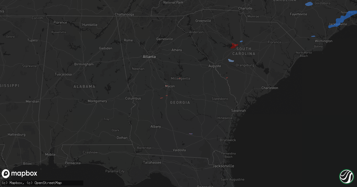
Hail Map in Georgia on March 12, 2026
Get this storm
March 12 map
$229
one time, instant access
Download today. No call, no setup
Keep the $229
Bought the map and want the full workflow? Apply the entire $229 to a subscription within 7 days. None of it is wasted.
Every map, not just this one
This buys you this map. Subscription and you get every map we run, in the markets you choose from a few cities to whole states to nationwide. Plus real-time alerts the moment a storm fires.
Contact data
Name, contact info, occupancy, even credit band for addresses in the footprint. You go from where it hit to who to call.
Become the source they trust
Unlimited branding weather history reports on demand. You already have the documented answer ready for the property owner, and you are the one who showed up with it.
Property data and RoofTrace estimates
Pull up any address you have got, its value and the exact code rules for that jurisdiction, straight from One Click Code. Then RoofTrace estimates the squares, pitch, and roof value, priced the way you price.
Storm reports in Georgia
Georgia
| Date | Description |
|---|---|
| 03/12/20269:40 AM CDT | *** 2 inj *** shed overturned on wren rd in ben hill county reported via x. 2 injuries reported. |
| 03/12/20268:56 AM CDT | The screven county 911 call center reported a power line down along mercer road. |
| 03/12/20268:45 AM CDT | The screven county 911 call center reported a power line down along the 900 block of halcyondale road. |
| 03/12/20268:42 AM CDT | The screven county 911 call center reported a tree down near the intersection of statesboro highway and hillcrest drive. |
| 03/12/20268:00 AM CDT | Damage to roof of home in the odum area. Time estimated from radar. |
| 03/12/20268:00 AM CDT | Em reports about a dozen trees down across the area. Time estimated from radar. |
| 03/12/20267:50 AM CDT | Reports of siding blown off 5 separate houses near the intersection of garcia drive and brainard avenue in fort gordon. |
| 03/12/20267:49 AM CDT | Emergency manager reported a tree down on the 6800 block of highway 147. |
| 03/12/20267:49 AM CDT | Emergency manager reported a tree down and a power line down on the 1700 block of tom rogers road. |
| 03/12/20267:28 AM CDT | Mcduffie county dispatch reported numerous trees and several power lines down throughout the county. |
| 03/12/20267:25 AM CDT | Trained spotter relayed pictures via facebook of downed trees off of quail farm road near brier creek. Time estimated by radar. |
| 03/12/20267:15 AM CDT | Reports of trees and powerlines down across the area. Time estimated from radar. |
| 03/12/20267:10 AM CDT | Several reports of trees and powerlines down in the west green area. Time estimated from radar. |
| 03/12/20267:10 AM CDT | Mobile home being transported by semi truck was blown off trailer during transport. Time estimated from radar. |
| 03/12/20267:05 AM CDT | Several reports of wind damage along sinkhole rd. Trees and powerlines down. Time estimated from radar. |
| 03/12/20267:05 AM CDT | Tree down at the intersection of white spring road and south highway 19. |
| 03/12/20267:05 AM CDT | Tree down near the intersection of hillcrest parkway and industrial boulevard. |
| 03/12/20267:03 AM CDT | Tree down near the intersection academy avenue and joiner street. |
| 03/12/20267:03 AM CDT | Tree down near the intersection of marion street and dudley street. |
| 03/12/20267:00 AM CDT | Damage to roof of home. Time estimated from radar. |
| 03/12/20267:00 AM CDT | Uga17 dixie reported 70 mph wind gust. |
| 03/12/20267:00 AM CDT | Tree down at the intersection of highway 46 and us highway 441. |
| 03/12/20267:00 AM CDT | Tree down at the intersection of ella burch road and s us hwy 441. |
All States Impacted by Hail Map on March 12, 2026
Cities Impacted by Hail Map on March 12, 2026
- Wagener, SC
- Salley, SC
- Chapin, SC
- Columbia, SC
- Irmo, SC
- Lexington, SC
- Maple Hill, NC
- Jacksonville, NC
- Maysville, NC
- Pollocksville, NC
- New Bern, NC
- Midway Park, NC
- Tarawa Terrace, NC
- Camp Lejeune, NC
- Merritt, NC
- Arapahoe, NC
- Grantsboro, NC
- Bayboro, NC
- Oriental, NC
- Dunn, NC
- Benson, NC
- Four Oaks, NC
- Williamston, NC
- Windsor, NC
- Jamesville, NC
- Plymouth, NC
- Greenville, NC
- Farmville, NC
- Winterville, NC
- Grimesland, NC
- Pearson, GA
- Blythewood, SC
- Bolton, NC
- Riegelwood, NC
- Martin, SC
- Milledgeville, GA
- Macon, GA
- Warner Robins, GA
- Fort Valley, GA
- Marshallville, GA
- Havelock, NC
- Hubert, NC
- Newport, NC
- Stella, NC
- Cedar Island, NC
- Swansboro, NC
- Holly Ridge, NC
- Beaufort, NC


