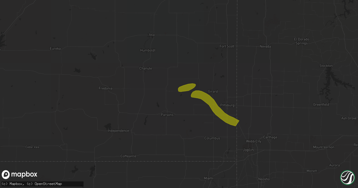
Hail Map in Saint Paul, KS on March 12, 2024
Get this storm
March 12 map
$229
one time, instant access
Download today. No call, no setup
Keep the $229
Bought the map and want the full workflow? Apply the entire $229 to a subscription within 7 days. None of it is wasted.
Every map, not just this one
This buys you this map. Subscription and you get every map we run, in the markets you choose from a few cities to whole states to nationwide. Plus real-time alerts the moment a storm fires.
Contact data
Name, contact info, occupancy, even credit band for addresses in the footprint. You go from where it hit to who to call.
Become the source they trust
Unlimited branding weather history reports on demand. You already have the documented answer ready for the property owner, and you are the one who showed up with it.
Property data and RoofTrace estimates
Pull up any address you have got, its value and the exact code rules for that jurisdiction, straight from One Click Code. Then RoofTrace estimates the squares, pitch, and roof value, priced the way you price.
Storm reports in Saint Paul, KS
Saint Paul, KS
| Date | Description |
|---|---|
| 03/11/20247:35 PM CDT | Social media report with picture along the crawford neosho county line. |
| 03/11/20247:30 PM CDT | A local report indicates 1.25 inch wind near 1 E Saint Paul |
All Cities Impacted by Hail Map on March 12, 2024
- Greenwood, MO
- Pleasant Hill, MO
- Lees Summit, MO
- Grain Valley, MO
- Lone Jack, MO
- Oak Grove, MO
- Bates City, MO
- Kingsville, MO
- Odessa, MO
- Holden, MO
- Mayview, MO
- Saint Paul, KS
- Kearney, MO
- Excelsior Springs, MO
- Lawson, MO
- Higginsville, MO
- Polo, MO
- Rayville, MO
- Walnut, KS
- Girard, KS
- McCune, KS
- Liberty, MO
- Napoleon, MO
- Pittsburg, KS
- Cherokee, KS
- Weir, KS
- Buckner, MO
- Sibley, MO
- Levasy, MO
- Orrick, MO
- Asbury, MO
- Wellington, MO
- Richmond, MO
- Creighton, MO
- Garden City, MO
- Carl Junction, MO
- Camden, MO
- Lexington, MO
- Henrietta, MO
- Webb City, MO
- Oronogo, MO
- Joplin, MO
- Carthage, MO
- Carterville, MO
- Blairstown, MO
- Chilhowee, MO
- Centerview, MO
- Warrensburg, MO
- Kansas City, MO
- Scammon, KS
- Concordia, MO
- Independence, MO
- Blue Springs, MO
- Dawn, MO
- Sweet Springs, MO
- Cowgill, MO
- Chillicothe, MO
- Grandview, MO
- Raymore, MO
- Belton, MO
- Knob Noster, MO
- Hardin, MO
- Norborne, MO
- Diamond, MO
- Sarcoxie, MO
- Whiteman Air Force Base, MO
- Pierce City, MO
- Wentworth, MO
- Granby, MO
- La Monte, MO
- Windsor, MO
- Green Ridge, MO
- Monett, MO
- Sedalia, MO
- Ionia, MO
- Mora, MO
- Smithton, MO
- Milan, MO
- Lathrop, MO
- Houstonia, MO
- Cole Camp, MO


