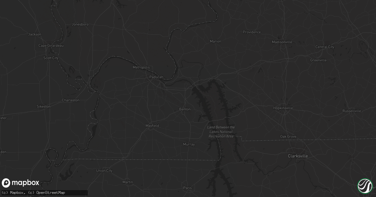
Hail Map in Coleman, MI on March 12, 2012
Get this storm
March 12 map
$229
one time, instant access
Download today. No call, no setup
Keep the $229
Bought the map and want the full workflow? Apply the entire $229 to a subscription within 7 days. None of it is wasted.
Every map, not just this one
This buys you this map. Subscription and you get every map we run, in the markets you choose from a few cities to whole states to nationwide. Plus real-time alerts the moment a storm fires.
Contact data
Name, contact info, occupancy, even credit band for addresses in the footprint. You go from where it hit to who to call.
Become the source they trust
Unlimited branding weather history reports on demand. You already have the documented answer ready for the property owner, and you are the one who showed up with it.
Property data and RoofTrace estimates
Pull up any address you have got, its value and the exact code rules for that jurisdiction, straight from One Click Code. Then RoofTrace estimates the squares, pitch, and roof value, priced the way you price.
Storm reports in Coleman, MI
Coleman, MI
| Date | Description |
|---|---|
| 03/12/20126:00 PM CDT | Power lines down along saginaw road between geneva and alamando roads. |
| 03/12/20125:57 PM CDT | Midland county 911 reported a polebarn was blown down and the roof was blown off a house near the intersection of weinert road and north lewis road. |
| 03/12/20125:43 PM CDT | A local report indicates 1.25 inch wind near 3 S COLEMAN |
| 03/12/20125:43 PM CDT | Multiple reports and picutres of 2 inch hail in coleman. |
| 03/12/20125:43 PM CDT | Numerous trees and powerlines down with some trees on houses and blocking roadways near the intersection of burns and ranky roads. |
All Cities Impacted by Hail Map on March 12, 2012
- Port Barre, LA
- Opelousas, LA
- Franklin, WI
- Pitkin, LA
- Midland, MI
- Hahnville, LA
- Paulina, LA
- Des Allemands, LA
- Edgard, LA
- Paradis, LA
- Boutte, LA
- Lutcher, LA
- Gramercy, LA
- Vacherie, LA
- Clare, MI
- Rosebush, MI
- Mount Pleasant, MI
- Remus, MI
- Weidman, MI
- Coleman, MI
- Mendon, MI
- Leonidas, MI
- Burlington, WI
- Plainwell, MI
- Kalamazoo, MI
- Pinconning, MI
- Rhodes, MI
- Sanford, MI
- Donaldsonville, LA
- Convent, LA
- Saint James, LA
- Sorrento, LA
- Fayette, OH
- Plaquemine, LA
- Belle Rose, LA
- White Castle, LA
- Pierre Part, LA
- Racine, WI
- Caledonia, WI
- Oak Creek, WI
- Franksville, WI
- Saint Martinville, LA
- Breaux Bridge, LA
- Grosse Tete, LA
- Mamou, LA
- Ville Platte, LA
- Glenmora, LA
- Oakdale, LA
- Forest Hill, LA
- Angola, IN
- Orland, IN
- Howe, IN
- Burr Oak, MI
- Union Grove, WI
- Kansasville, WI
- Sunset, LA
- Church Point, LA
- Genoa City, WI
- Lake Geneva, WI
- Greendale, WI
- Muskego, WI
- Milwaukee, WI
- South Milwaukee, WI
- Sturgis, MI
- Carencro, LA
- Lafayette, LA
- Arnaudville, LA
- Napoleonville, LA
- Waterford, WI
- Ligonier, IN
- Wawaka, IN


