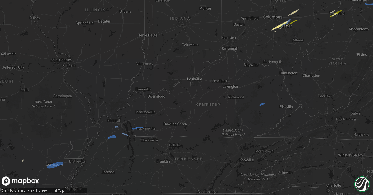
Hail Map in Kentucky on March 7, 2026
Get this storm
March 7 map
$229
one time, instant access
Download today. No call, no setup
Keep the $229
Bought the map and want the full workflow? Apply the entire $229 to a subscription within 7 days. None of it is wasted.
Every map, not just this one
This buys you this map. Subscription and you get every map we run, in the markets you choose from a few cities to whole states to nationwide. Plus real-time alerts the moment a storm fires.
Contact data
Name, contact info, occupancy, even credit band for addresses in the footprint. You go from where it hit to who to call.
Become the source they trust
Unlimited branding weather history reports on demand. You already have the documented answer ready for the property owner, and you are the one who showed up with it.
Property data and RoofTrace estimates
Pull up any address you have got, its value and the exact code rules for that jurisdiction, straight from One Click Code. Then RoofTrace estimates the squares, pitch, and roof value, priced the way you price.
Storm reports in Kentucky
Kentucky
| Date | Description |
|---|---|
| 03/07/20263:39 PM CST | Tree down on power line... Resulting in power outage... About a mile up lick branch road off of armory drive. Exact location and time estimated. |
| 03/07/20263:38 PM CST | Retired nws employee reported wind gusts estimated near 60 mph. |
| 03/07/202611:28 AM CST | Tree down on richards street... Near fairground. |
| 03/07/202611:25 AM CST | Tree uprooted and power pole down near navaho trace in hopkinsville. |
| 03/07/202611:02 AM CST | Carport heavily damaged along 68/80. |
| 03/07/202610:59 AM CST | Tree limbs snapped... Metal roof removed from industrial building... Damage to commercial signage. |
| 03/07/202610:29 AM CST | Tree blocking 94e near shiloh. |
| 03/07/202610:26 AM CST | Large section of fence blown down in west central calloway co. Investigating further. |
| 03/07/202610:24 AM CST | A brief ef0 tornado occurred in west central calloway county. Peak winds were estimated at 85 mph. Damage to farm buildings... Fencing... And roofing materials. |
| 03/07/20269:59 AM CST | Roof and sides of a metal barn removed near water valley. |
| 03/07/20269:47 AM CST | Metal roof blown off a couple buildings... Tree uprooted... Doorbell video shows what appears to be a narrow |
| 03/07/20269:47 AM CST | Survey finds an extremely narrow ef0 tornado with peak winds of 85 mph. Metal roof blown off a couple buildings... Tree uprooted... Doorbell video shows what appears to |
All States Impacted by Hail Map on March 7, 2026
Cities Impacted by Hail Map on March 7, 2026
- Ballinger, TX
- Winters, TX
- Talpa, TX
- Coleman, TX
- Novice, TX
- Mount Pleasant, AR
- Doniphan, MO
- Naylor, MO
- Rising Star, TX
- Brownwood, TX
- Comanche, TX
- Carbon, TX
- Junction, TX
- Santa Anna, TX
- May, TX
- Blanket, TX
- Sidney, TX
- Brookesmith, TX
- Alicia, AR
- Walnut Ridge, AR
- Jonesboro, AR
- Cash, AR
- Weiner, AR
- Bono, AR
- State University, AR
- Bay, AR
- Brookland, AR
- Lake City, AR
- Black Oak, AR
- Transylvania, LA
- Magnolia, AR
- Circleville, OH
- Ashville, OH
- Lake Providence, LA
- Watson, AR
- Stoutsville, OH
- Amanda, OH
- Lancaster, OH
- Carroll, OH
- Pleasantville, OH
- Emerson, AR
- Monticello, AR
- Thornville, OH
- Rushville, OH
- Baltimore, OH
- Heath, OH
- Nashport, OH
- Newark, OH
- Frazeysburg, OH
- Carrollton, OH
- Mechanicstown, OH
- Cleveland, MS
- Delhi, LA
- Dresden, OH
- Crossett, AR
- Salineville, OH
- Kensington, OH
- Summitville, OH
- Lisbon, OH
- Panama, NY
- Clymer, NY
- Sherman, NY
- Tallulah, LA
- Walker, LA
- Benoit, MS
- Winnsboro, LA
- Bremen, OH
- Somerset, OH
- Mount Perry, OH
- Roseville, OH
- Ashville, NY
- Mayville, NY
- Bemus Point, NY
- Stow, NY
- Jamestown, NY
- Eudora, AR
- Oak Grove, LA
- Douglass, TX
- Greenville, MS
- Nacogdoches, TX
- Dellroy, OH
- Bowerston, OH
- Sherrodsville, OH
- Jones, LA
- Parkdale, AR
- Natchez, MS
- Ellwood City, PA
- Fombell, PA
- Portersville, PA
- Harmony, PA
- Prospect, PA
- Butler, PA
- Koppel, PA
- Darlington, PA
- New Galilee, PA
- Beaver Falls, PA
- Wampum, PA
- Wilson, LA
- Epps, LA
- Pioneer, LA
- Baskin, LA
- Rayville, LA
- Wilmot, AR
- Clinton, LA
- Belmont, OH
- Bellaire, OH
- Jacobsburg, OH
- Saint Clairsville, OH
- Neffs, OH
- McCall Creek, MS
- Liberty, MS
- West Sunbury, PA
- Chicora, PA
- Titusville, PA
- Centreville, MS
- Lithonia, GA
- Snellville, GA
- Loganville, GA
- Pleasantville, PA
- Cooperstown, PA
- Bridgeport, OH
- Wheeling, WV
- Karns City, PA
- Petrolia, PA
- Parker, PA
- Gerry, NY
- Sinclairville, NY
- Falconer, NY
- Kennedy, NY
- Conewango Valley, NY
- Cherry Creek, NY
- Cattaraugus, NY
- Randolph, NY
- Little Valley, NY
- Rimersburg, PA
- Sligo, PA
- New Bethlehem, PA
- Triadelphia, WV
- Valley Grove, WV
- Brookhaven, MS
- Union Church, MS
- Endeavor, PA
- West Hickory, PA
- Tidioute, PA
- Meadville, MS
- East Hickory, PA
- Uvalde, TX
- Mayersville, MS
- Gloster, MS
- Norwood, LA
- Vina, AL
- Conyers, GA
- Hodges, AL
- Lufkin, TX
- Hazlehurst, MS
- Wesson, MS
- Tionesta, PA
- Brenham, TX
- Oil City, PA
- Lorman, MS
- Amory, MS
- Fairmount City, PA
- Clarion, PA
- Summerville, PA
- Mayport, PA
- Strattanville, PA
- Corsica, PA
- Brookville, PA
- Columbia, LA
- Port Gibson, MS
- Pattison, MS
- Mansfield, LA
- Waterproof, LA
- Crystal Springs, MS
- Hermanville, MS
- Monroe, GA
- Utopia, TX
- Sabinal, TX
- Pollok, TX
- Knippa, TX
- Concan, TX
- Dothan, AL
- Ashford, AL
- Utica, MS
- Saint Joseph, LA
- Brockway, PA
- Falls Creek, PA
- Reynoldsville, PA
- Penfield, PA
- Brockport, PA
- Kersey, PA
- Weedville, PA
- Ridgway, PA
- Byrnedale, PA
- Saint Marys, PA
- Benezett, PA
- Terry, MS
- Florence, MS
- Byram, MS
- Mendenhall, MS
- Braxton, MS
- Raymond, MS
- Bogart, GA
- Groveton, TX
- Jackson, KY
- Brandon, MS
- Hondo, TX
- Huntsville, TX
- Oakhurst, TX
- Woodville, MS
- Watkinsville, GA
- Athens, GA
- Haleyville, AL
- Edwards, MS
- Bandera, TX
- Jonesville, LA
- Trinity, TX
- Pelahatchie, MS
- Madison, MS
- Ridgeland, MS
- Jackson, MS
- Bradenton, FL
- Florien, LA
- Livingston, LA
- Pearl, MS
- Morton, MS
- Lockhart, TX
- Forest, MS
- Lena, MS
- Natchez, LA
- Natchitoches, LA
- Cloutierville, LA
- Pipe Creek, TX
- Coldspring, TX
- Houston, TX
- Crosby, MS
- Philadelphia, MS
- Cypress, TX
- Dale, TX
- Pulaski, MS
- Spring, TX
- Red Rock, TX
- Conroe, TX
- Punta Gorda, FL
- Union, MS
- Montgomery, LA
- Livingston, TX
- Cleveland, TX
- Bastrop, TX
- Cedar Creek, TX
- Jourdanton, TX
- Charlotte, TX
- Humble, TX
- San Antonio, TX
- Martins Ferry, OH
- Dillonvale, OH
- Tilden, TX
- Seguin, TX
- Calliham, TX
- Auburn, AL
- Laredo, TX
- Mineral City, OH
- New Philadelphia, OH
- Dennison, OH
- Kingsbury, TX
- Clarks Mills, PA
- Fredonia, PA
- Greenville, PA
- Transfer, PA
- Hadley, PA
- Stoneboro, PA
- Sheakleyville, PA
- Cochranton, PA
- Carlton, PA
- Sandy Lake, PA
- Utica, PA
- Franklin, PA
- Freer, TX
- George West, TX
- San Diego, TX
- San Ygnacio, TX
- Zapata, TX
- Roma, TX
- Water Valley, KY
- Wingo, KY
- Mayfield, KY
- Sedalia, KY
- Farmington, KY
- Rio Grande City, TX
- Garciasville, TX
- Grulla, TX
- Devers, TX
- Gulf Breeze, FL
- Wallisville, TX
- Liberty, TX
- Pittsburgh, PA
- Verona, PA
- New Kensington, PA
- Apollo, PA
- Avonmore, PA
- Murrysville, PA
- Spring Church, PA
- West Lebanon, PA
- Saltsburg, PA
- Indiana, PA
- Shelocta, PA
- Home, PA
- Creekside, PA
- Marion Center, PA
- Glen Campbell, PA
- Mahaffey, PA
- Curwensville, PA
- Gipsy, PA
- Rochester Mills, PA
- Rossiter, PA
- Hillsdale, PA
- Clymer, PA
- Commodore, PA
- Irwin, PA
- Latrobe, PA
- Jeannette, PA
- Adamsburg, PA
- Greensburg, PA
- Bovard, PA
- Benton, KY
- Hickory, KY
- Symsonia, KY
- Almo, KY
- Murray, KY
- Dexter, KY
- Cadiz, KY
- Gracey, KY
- Hopkinsville, KY


