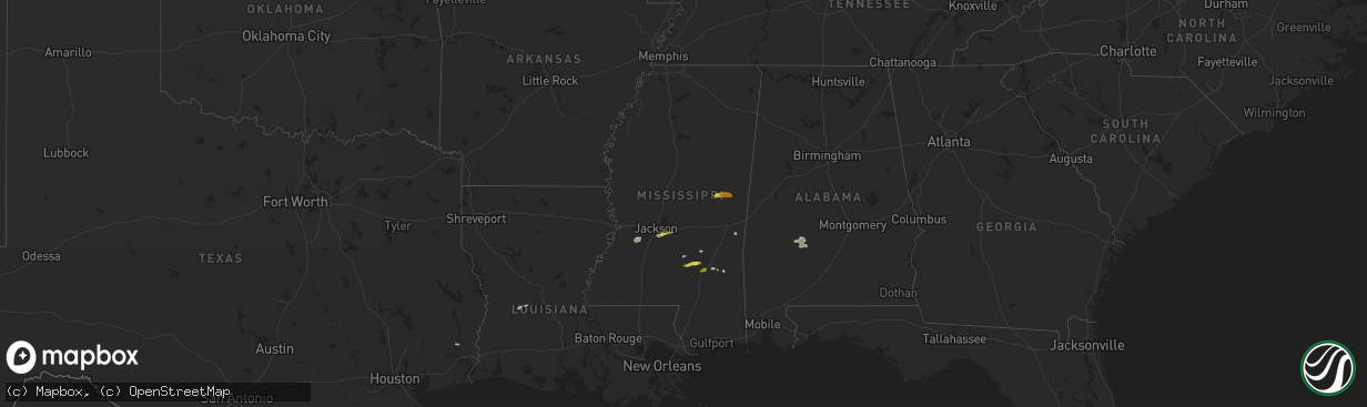
Hail Map in Mississippi on March 7, 2017
The weather event in Mississippi on March 7, 2017 includes Hail map. 4 states and 26 cities were impacted and suffered possible damage. The total estimated number of properties impacted is 5,461.
Want more than just the map?
Turn this storm into a full workflow.
- Owner + property data so you know who to knock
- OnDemand branded weather history reports to win the "did we even have hail?" argument
- RoofTrace estimate so reps stop guessing numbers at the door
Bought this map? Upgrade within 7 days and we'll credit the $230. (10-15 min setup call)
Hail
5,461
Estimated number of impacted properties by a 1.00" hail or larger0
Estimated number of impacted properties by a 1.75" hail or larger0
Estimated number of impacted properties by a 2.50" hail or largerStorm reports in Mississippi
Mississippi
| Date | Description |
|---|---|
| 03/07/20173:40 PM CST | Trees down near zero rd and springhill rd. |
| 03/07/20173:01 PM CST | Tree and a line down at the intersection of hwy 80 and mt. Pleasant rd. |
| 03/07/20173:00 PM CST | Tree and a line down at the intersection of hwy 80 and mt. Pleasant rd. |
| 03/07/20172:51 PM CST | Trees and a power line down on stamper rd. |
| 03/07/20171:46 PM CST | A local report indicates 1.50 inch wind near PRESTON |
| 03/07/20171:45 PM CST | 3 trees down off new zion rd |
| 03/07/20171:25 PM CST | A few trees down off midway rd. |
| 03/07/20171:02 PM CST | Public report of a metal roof blown off a house and power lines down along bethel road. Report seen on social media. |
| 03/07/20171:00 PM CST | Reported at the intersection of ms hwy 468 and ms hwy 469 |
| 03/07/201712:32 PM CST | A tree was blown down on robinson road near the intersection with oktoc road. |
| 03/07/201712:20 PM CST | Three trees were downed near haven 12 apartments |
| 03/07/201712:18 PM CST | A powerline was down along reed road near westside drive. |


