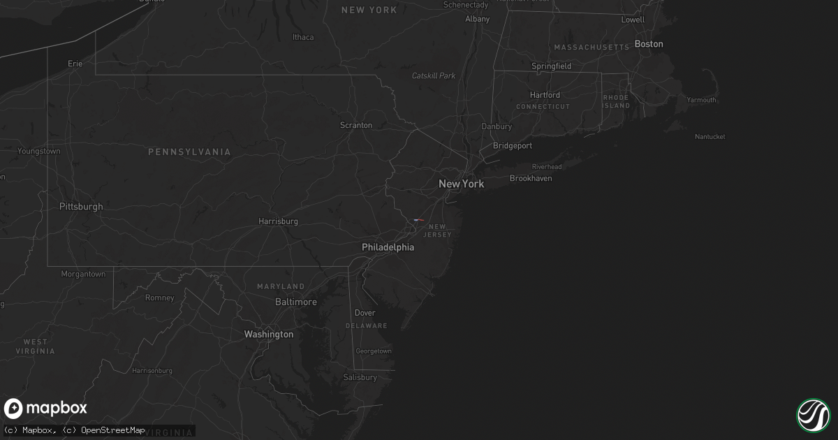
Hail Map on February 21, 2023
Get this storm
February 21 map
$229
one time, instant access
Download today. No call, no setup
Keep the $229
Bought the map and want the full workflow? Apply the entire $229 to a subscription within 7 days. None of it is wasted.
Every map, not just this one
This buys you this map. Subscription and you get every map we run, in the markets you choose from a few cities to whole states to nationwide. Plus real-time alerts the moment a storm fires.
Contact data
Name, contact info, occupancy, even credit band for addresses in the footprint. You go from where it hit to who to call.
Become the source they trust
Unlimited branding weather history reports on demand. You already have the documented answer ready for the property owner, and you are the one who showed up with it.
Property data and RoofTrace estimates
Pull up any address you have got, its value and the exact code rules for that jurisdiction, straight from One Click Code. Then RoofTrace estimates the squares, pitch, and roof value, priced the way you price.
States Impacted by Hail Map on February 21, 2023
Storm reports
New York
| Date | Description |
|---|---|
| 02/21/20232:41 PM CST | Tree and wires down at sidney center... County highway 23... Budine road. Time estimated by radar. |
| 02/21/20232:15 PM CST | Tree down on 21 edwards road... Time estimated by radar. |
| 02/21/20232:12 PM CST | Tree down... Time estimated by radar. |
| 02/21/20232:04 PM CST | Telephone wire down at crescent drive... Endwell. Time estimated by radar. |
| 02/21/20232:04 PM CST | Tree down on taft avenue... Time estimated from radar. |
New Jersey
| Date | Description |
|---|---|
| 02/21/20233:55 PM CST | Public reported quarter size hail in toms river. |
| 02/21/20233:04 PM CST | Report from mping: quarter |
| 02/21/20232:50 PM CST | Possible tornado in quaker bridge. Report of trees and wires on a car. |
| 02/21/20232:47 PM CST | Report from mping: quarter |
| 02/21/20232:45 PM CST | Tree damage reported in residential areas of east windsor twp near wayne way & dorchester drive; chestnut drive & glen oak; and elm drive & primrose lane. This area was |
| 02/21/20232:40 PM CST | Nws employee reports damage on quakerbridge road. Possible tornado. |
| 02/21/20232:40 PM CST | Route 1 closed at intersection of franklin corner road due to power lines down. |
| 02/21/20232:39 PM CST | Broadcast media reports large trees down on dunbar drive and conover road in west windsor... Nj. Possible tornado. |
| 02/21/20232:30 PM CST | A local report indicates 1.00 inch wind near LAWRENCEVILLE |
| 02/21/20232:30 PM CST | A local report indicates 1.00 inch wind near PENNINGTON |
Pennsylvania
| Date | Description |
|---|---|
| 02/21/20233:25 PM CST | Trees and wire reported down in the beach lake area of honesdale. |
| 02/21/20232:55 PM CST | Tree and wires down on state rte 92 in lenox twonship. Time estimated by radar. |
| 02/21/20232:45 PM CST | Tree down in blue shutters rd... Roaring brooke township. Time is radar estimated. |
| 02/21/20232:38 PM CST | Wire down at 106 armstrong... Dalton. Time is radar estimated. |
| 02/21/20232:36 PM CST | Trees and wires down on owego street. Time estimated from radar. |
| 02/21/20232:36 PM CST | Wire down at 2200 cherry hill rd... Newton township. Time is radar estimated. |
| 02/21/20232:35 PM CST | Trees and wires down off franklin hill road in franklin township. |
| 02/21/20232:33 PM CST | Tree down in yostville rd... Covington township. Time is radar estimated. |
| 02/21/20232:02 PM CST | 2 hardwood trees uprooted... 8 others heavily damaged with snaps or twists. Swingset destroyed and patio furniture moved. Some shingles of parts of roof. Radar-estimate |
| 02/21/20231:48 PM CST | Numerous power outages in powell to weston areas with 3 big poles taken down by strong winds. Tree debris on several roads. Radar-estimated time. |
| 02/21/20231:44 PM CST | Multiple trees down. |
Texas
| Date | Description |
|---|---|
| 02/21/20235:02 AM CST | Peak wind gust of 71 mph at the west texas mesonet site southwest of comstock. |